South Burnie Beach
- Saltwater
- Beach
South Burnie Beach
- Saltwater
- Beach
- Sq. miles
- 0.1
- Boat Ramps
- 2
- Access Points
- 0
- Campsites
- 0
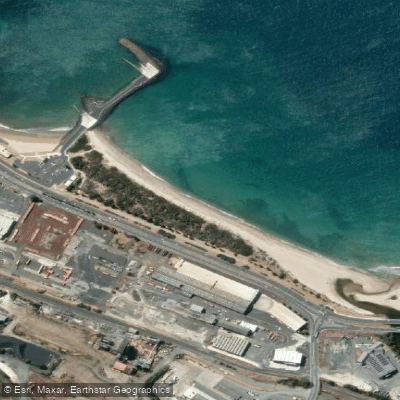
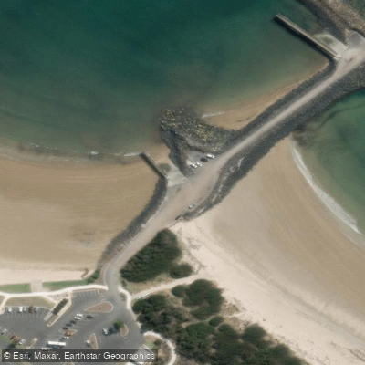
South Burnie Beach is a one-kilometer stretch of golden sand located south of the Burnie port, offering a scenic launch point for paddlers on Bass Strait. The beach is divided by a rock jetty and boat ramp area, with the primary paddling and swimming beach situated to the west, in front of the Burnie Yacht Club. Access for launching kayaks, SUPs, or other small craft is directly from the sand. A significant car park with dedicated space for boat trailers is available on the esplanade, though demand is high and expansion plans are under discussion. Facilities for paddlers are excellent and include public toilets, change rooms, outdoor beach showers, foot washers, and a drinking fountain. The area is a hub of activity, connected to the Coastal Pathway and featuring outdoor exercise equipment.
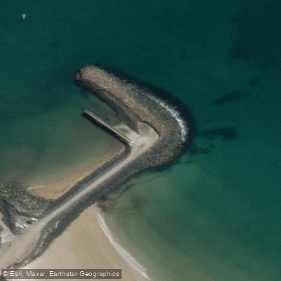
The beach is protected by a rock breakwater, which shelters the boat ramps and likely moderates wave action in the immediate vicinity, though the waters of Bass Strait beyond can be exposed. The overall character is vibrant and family-friendly, popular for swimming, paddling, and walking. The Cradle Coast Outrigger Canoe Club is based here, offering social and competitive paddling. Notable sights from the water include the coastal scenery stretching approximately 15 kilometers and the working port of Burnie to the north. Paddlers should be mindful of boat traffic near the ramps and jetty, which is a popular fishing spot. The beach to the east of the boat ramp is a designated off-leash dog exercise area. Water quality is not specifically detailed, but the beach is clean and suitable for swimming. The foreshore area includes interpretive elements from the Pulp and Paper Trail, highlighting the region's industrial heritage.
Water access, boat ramps & amenities
Learn how to get on South Burnie Beach. Uncover great paddling access points, boat ramps, and all the facilities you need for an unforgettable day on the water. Some locations shown may border or include private property. Always check property boundaries and applicable regulations before visiting. PaddleWays's Public & Private Land layer can help you plan your access with confidence.
Paddle smarter with real-time insights
Whether you're en route and conditions shift or you're looking for the best spot based on current flows, we enable you to make informed decisions on the fly.








Find Places to Paddle

Over 400,000 Places to Paddle
Every user gets free access to launch points, boat ramps, and public property parcels.


Tides, wind & water conditions (10 day forecast)
On open water, wind and tide matter as much as the weather. See the best times to paddle South Burnie Beach and check the marine forecast before you launch.
Loading tide predictions…
Paddling near South Burnie Beach
Blythe River
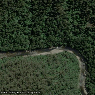
River Leven
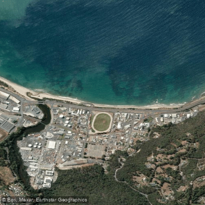
Wivenhoe Beach
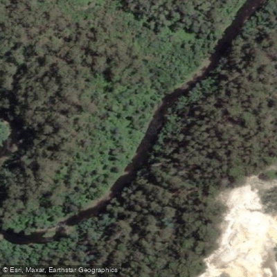
Inglis River
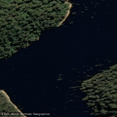
River Forth
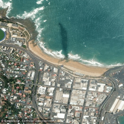
West Beach
Camp Creek
Hellyer River
Wilmot River
Explore Tasmania waters
Top paddling waters
No waters available right now.
Popular Cities
Loading popular cities...
Explore near South Burnie Beach

Smarter Paddling Starts in the App.
Paddleways gives you everything you need to plan smarter, paddle better, and own every trip from first launch to takeout.