West Beach
- Saltwater
- Beach
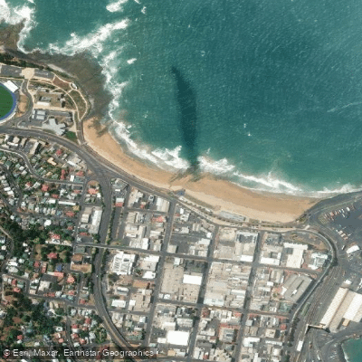
West Beach
- Saltwater
- Beach
- Sq. miles
- 0.1
- Boat Ramps
- 0
- Access Points
- 0
- Campsites
- 0
West Beach in Burnie, Tasmania, is a developed urban waterfront area on Bass Strait. The beach itself is the primary launch point for paddlers, with the area near the surf club being a noted activity hub. Access is straightforward, with the beach located adjacent to North Terrace and within a short distance of the city center. Public parking is available, including a multi-storey car park on Marine Terrace. The carry distance from parking to the water's edge is minimal due to the beach's proximity to the road and developed foreshore. The waterfront area has been significantly upgraded, featuring a terraced sea wall, outdoor showers, open grassed areas, and a sea creature water play area, which all contribute to convenient setup and post-paddle cleanup. A beach wheelchair is available, indicating some level of accessible infrastructure.
The beach fronts Bass Strait, which is known for significant wave activity; a wave height of 2.5 meters is noted, indicating that conditions can frequently involve surf and shore-break. This exposure means paddlers must assess surf conditions carefully for launch and landing. The area is also noted for wind. The aesthetic is of a scenic, community-focused waterfront with views across the beach. The Burnie Coastal Pathway runs near the beach, providing a potential route for paddlers to follow along the coast, connecting to other beaches like Wivenhoe Beach and South Burnie Beach. The water temperature is typically cool, with an example given of 11 degrees Celsius. Facilities for paddlers are good, with the mentioned showers and the proximity of eateries such as Fish Frenzy overlooking the beach. The overall character is that of a vibrant, family-friendly public space that serves as a central gathering point for the community, which paddlers should be mindful of, especially during events.
Water access, boat ramps & amenities
Learn how to get on West Beach. Uncover great paddling access points, boat ramps, and all the facilities you need for an unforgettable day on the water. Some locations shown may border or include private property. Always check property boundaries and applicable regulations before visiting. PaddleWays's Public & Private Land layer can help you plan your access with confidence.
Paddle smarter with real-time insights
Whether you're en route and conditions shift or you're looking for the best spot based on current flows, we enable you to make informed decisions on the fly.








Find Places to Paddle

Over 400,000 Places to Paddle
Every user gets free access to launch points, boat ramps, and public property parcels.


Tides, wind & water conditions (10 day forecast)
On open water, wind and tide matter as much as the weather. See the best times to paddle West Beach and check the marine forecast before you launch.
Loading tide predictions…
Paddling near West Beach
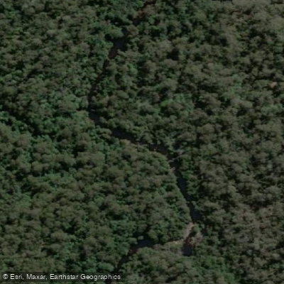
Blythe River
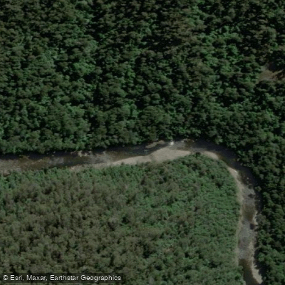
River Leven
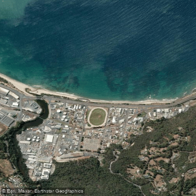
Wivenhoe Beach
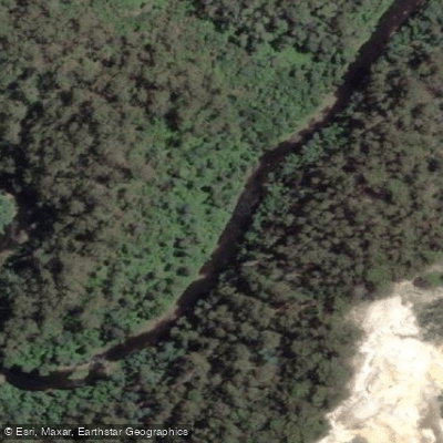
Inglis River
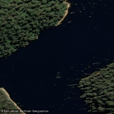
River Forth
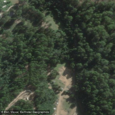
Camp Creek
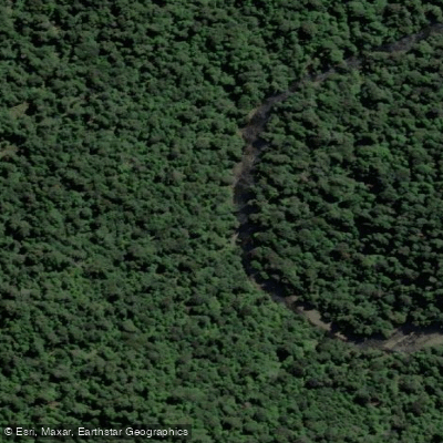
Hellyer River
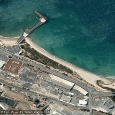
South Burnie Beach
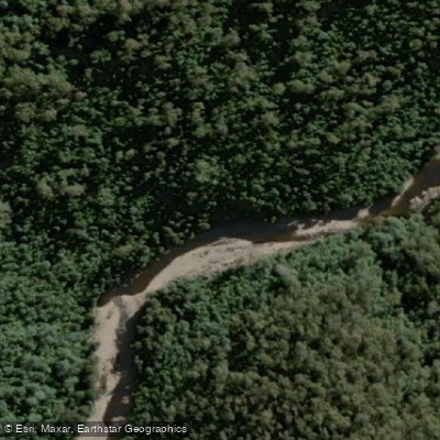
Wilmot River
Explore Tasmania waters
Top paddling waters
No waters available right now.
Popular Cities
Loading popular cities...
Explore near West Beach

Smarter Paddling Starts in the App.
Paddleways gives you everything you need to plan smarter, paddle better, and own every trip from first launch to takeout.