Cairn Curran Reservoir
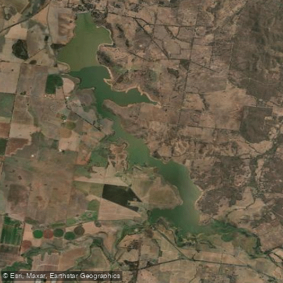
Cairn Curran Reservoir
- Boat Ramps
- 4
- Access Points
- 0
- Campsites
- 0
Cairn Curran Reservoir sits on the Loddon River in central Victoria, formed by an earth-fill dam completed in 1956. The dam wall stands 44 metres high and 1,548 metres long, creating a reservoir that covers approximately 1,900 hectares at full capacity with a storage volume of around 148 gigalitres. The reservoir lies near the townships of Baringhup, Newstead, and Welshmans Reef, roughly 10 kilometres west of Maldon and 30 kilometres east of Maryborough, and about 150 kilometres from Melbourne.
The water surface is expansive, with deep water throughout much of the reservoir and extensive submerged timber structure — drowned trees that create complex underwater habitat. This submerged timber is a defining characteristic of the paddling environment and warrants attention when navigating, particularly in shallower areas near the margins.
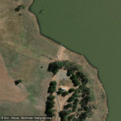
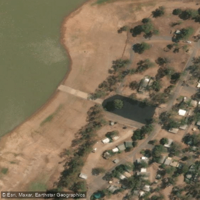
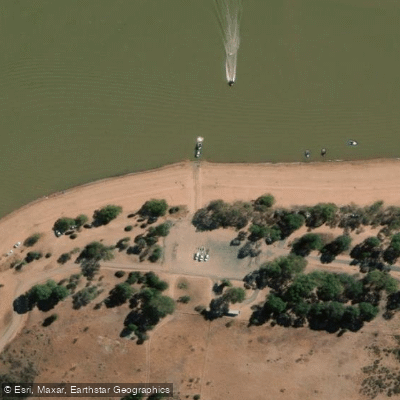
The primary access point for paddlers is Picnic Point on the western shore, off Joyces Creek-Baringhup Road. The boat ramp here is a single-lane sealed facility, noted as quite steep, so care is warranted during launching. Kayaks can be staged in the car park and wheeled down alongside the ramp. A second access area, Woolshed Bay, is located on the eastern shore. Both sites have amenities blocks, including all-abilities facilities. Caravan parks and picnic areas with electric barbecues are available along the foreshore.
The reservoir is shared with power boats, jet skis, and sailing craft, so paddlers should expect motorised traffic, particularly on weekends and during warmer months. The Cairn Curran Sailing Club holds regular events between October and April. Wind conditions can change quickly, and the combination of cold water, wind chill, and submerged logs presents real hazards for kayakers — a wetsuit, appropriate footwear, and gloves are advisable, especially outside summer. Late spring and early summer are noted as productive periods for fishing activity on the water, which also corresponds with increased boat traffic.
Wildlife in and around the reservoir reflects a central Victorian freshwater environment. The water holds populations of Murray cod, golden perch (yellowbelly), silver perch, redfin, and brown trout, with significant stocking programs undertaken by the Victorian Fisheries Authority in recent years. The reservoir is managed by Goulburn-Murray Water, which oversees both dam operations and recreational use under a Land and On-Water Management Plan.
Water access, boat ramps & amenities
Learn how to get on Cairn Curran Reservoir. Uncover great paddling access points, boat ramps, and all the facilities you need for an unforgettable day on the water. Some locations shown may border or include private property. Always check property boundaries and applicable regulations before visiting. PaddleWays's Public & Private Land layer can help you plan your access with confidence.
Paddle smarter with real-time insights
Whether you're en route and conditions shift or you're looking for the best spot based on current flows, we enable you to make informed decisions on the fly.








Find Places to Paddle

Over 400,000 Places to Paddle
Every user gets free access to launch points, boat ramps, and public property parcels.


Water and weather conditions (10 day forecast)
See the best times to paddle Cairn Curran Reservoir and check the forecast before you go.
Loddon River @ Cairn Curran Reservoir T.G.
All Flow Stations
Paddling near Cairn Curran Reservoir

Campaspe River
Lake Eppalock
Loddon River
Coliban River
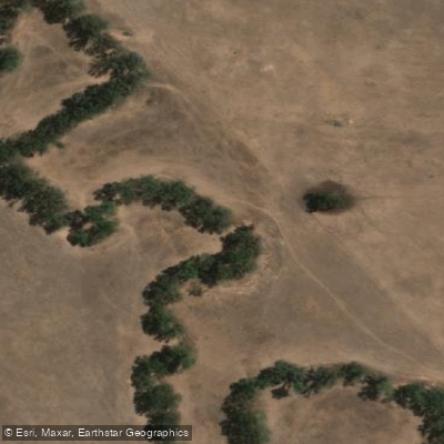
Spring Creek
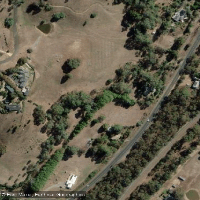
Barkers Creek
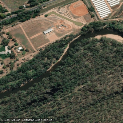
Goulburn River

Werribee River
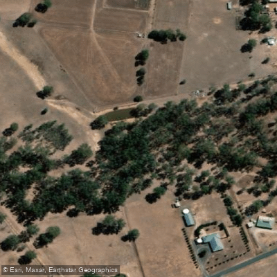
Sandy Creek
Explore Victoria waters
Top paddling waters
No waters available right now.
Popular Cities
Loading popular cities...
Explore near Cairn Curran Reservoir
Access points
Nearby waters
More in Victoria

Smarter Paddling Starts in the App.
Paddleways gives you everything you need to plan smarter, paddle better, and own every trip from first launch to takeout.