Campaspe River

Campaspe River
- Boat Ramps
- 3
- Access Points
- 0
- Campsites
- 6
The Campaspe River runs approximately 160 kilometres from the Wombat State Forest near Bullengarook and Macedon in the south, flowing through Woodend, Kyneton, and the mid-reaches around Lake Eppalock, before continuing through Elmore and Rochester and ultimately joining the Murray River near Echuca on the Victoria–New South Wales border.
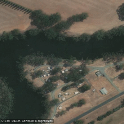
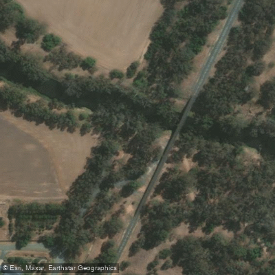
The river divides naturally into distinct sections with differing characters. The upper reaches around Kyneton offer roughly three kilometres of accessible river through the township, suitable for casual paddling and family outings. The mid-section around Axedale and Englishs Bridge near Goornong features deep pools and significant snag hazards, with wide, calm stretches that reward exploration. Aysons Campground near Burnewang provides a wide section of river with a boat ramp, making it a straightforward launch point. Rocky Crossing near Goornong offers both a shallow rocky section and a wider, deeper stretch alongside the campground, though the steep bank at the campground side makes hauling a kayak in and out physically demanding.
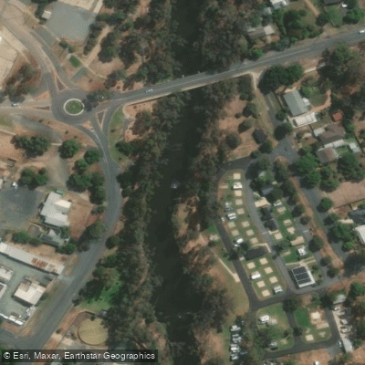
In the lower reaches, Rochester Riverside Holiday Park provides kayak access via a pedestrian gate located between the holiday park shed and the bridge — not through the main entrance — with access hours from 7am to 7pm. Disabled access is available through the park office. Near the Murray River junction, the river can be entered at Leslie Street, with the junction itself approximately four kilometres from Merool. Paddlers should be aware that the lower Campaspe approaching the Murray can be very shallow and heavily snagged, making navigation difficult and potentially requiring portaging or turning back.
Snags are a recurring hazard throughout the river, particularly in the lower reaches. The river is stocked with native species including Murray cod and golden perch, as well as redfin, trout, and carp, meaning anglers are frequently present along the banks. Wildlife observation, particularly birdwatching, is noted as a draw in the Gunbower area near the Murray junction. Free camping is available at several points including Englishs Bridge and Aysons Campground, which can serve as convenient overnight bases for multi-day paddling trips.
Water access, boat ramps & amenities
Learn how to get on Campaspe River. Uncover great paddling access points, boat ramps, and all the facilities you need for an unforgettable day on the water. Some locations shown may border or include private property. Always check property boundaries and applicable regulations before visiting. PaddleWays's Public & Private Land layer can help you plan your access with confidence.
Paddle smarter with real-time insights
Whether you're en route and conditions shift or you're looking for the best spot based on current flows, we enable you to make informed decisions on the fly.








Find Places to Paddle

Over 400,000 Places to Paddle
Every user gets free access to launch points, boat ramps, and public property parcels.


Water and weather conditions (10 day forecast)
See the best times to paddle Campaspe River and check the forecast before you go.
Campaspe River @ Barnadown
All Flow Stations
Paddling near Campaspe River
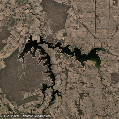
Lake Eppalock
Loddon River
Coliban River
Spring Creek
Barkers Creek
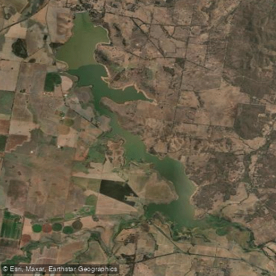
Cairn Curran Reservoir
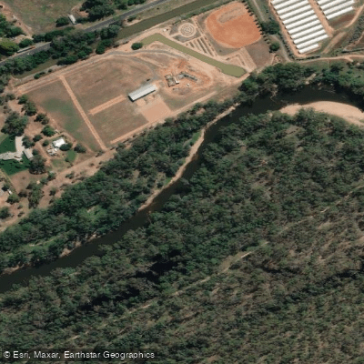
Goulburn River

Werribee River
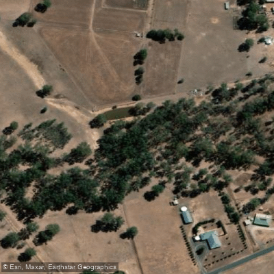
Sandy Creek
Explore Victoria waters
Top paddling waters
No waters available right now.
Popular Cities
Loading popular cities...
Explore near Campaspe River
Access points
Nearby waters
More in Victoria

Smarter Paddling Starts in the App.
Paddleways gives you everything you need to plan smarter, paddle better, and own every trip from first launch to takeout.