Coliban River
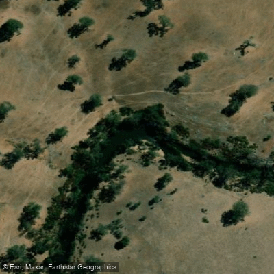
Coliban River
- Boat Ramps
- 0
- Access Points
- 0
- Campsites
- 0
The Coliban River system in central Victoria, near Kyneton, offers paddling primarily through the Upper Coliban Reservoir, which is open to kayaks, canoes, and small boats with electric motors. Petrol-powered outboard engines are not permitted on the water. The wearing of lifejackets is mandatory at all times while on the water.
The reservoir sits on Dja Dja Wurrung Country and is managed by Coliban Water as a key water storage for the region. Two recreational areas provide access: Premier Mine Road and Springhill Road. Facilities and permitted activities differ between these two sites, so checking current signage and maps before visiting is advisable. At Premier Mine Road, a 40-metre crushed rock boat ramp enables launching down to 60 per cent water storage capacity. Facilities across the sites include car parking, seating, shelter, toilets, a viewing platform, walking paths, and designated watercraft entry and exit points. Dogs are permitted but must be kept on leads.
Blue-green algae is a known periodic hazard at Upper Coliban Reservoir. When algae levels are elevated, the reservoir is closed entirely to on-water recreation, and contact with the water should be avoided. Paddlers should check current conditions with Coliban Water before visiting, as closures can occur without extended notice.
On the river itself, low water levels can expose submerged stumps, which present a navigation hazard. This is particularly relevant during summer months when water levels tend to drop.
The reservoir has been stocked extensively with native fish including Murray cod and golden perch, as well as brown and rainbow trout from the Snobs Creek hatchery, making it a popular destination for kayak fishing. The Coliban River Streamside Reserve, managed by Parks Victoria, also exists along sections of the river corridor and provides additional access to the broader riparian environment.
Water access, boat ramps & amenities
Learn how to get on Coliban River. Uncover great paddling access points, boat ramps, and all the facilities you need for an unforgettable day on the water. Some locations shown may border or include private property. Always check property boundaries and applicable regulations before visiting. PaddleWays's Public & Private Land layer can help you plan your access with confidence.

Paddle smarter with real-time insights
Whether you're en route and conditions shift or you're looking for the best spot based on current flows, we enable you to make informed decisions on the fly.








Find Places to Paddle

Over 400,000 Places to Paddle
Every user gets free access to launch points, boat ramps, and public property parcels.


Water and weather conditions (10 day forecast)
See the best times to paddle Coliban River and check the forecast before you go.
Coliban River @ Malmsbury Rail Bridge
All Flow Stations
Paddling near Coliban River

Campaspe River
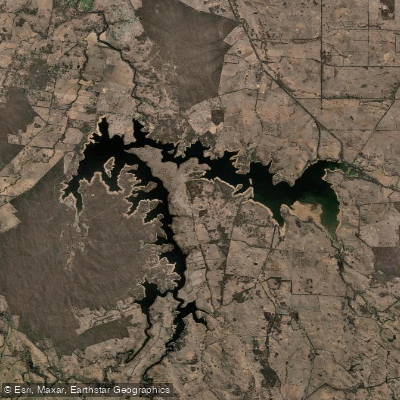
Lake Eppalock
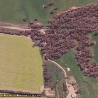
Loddon River
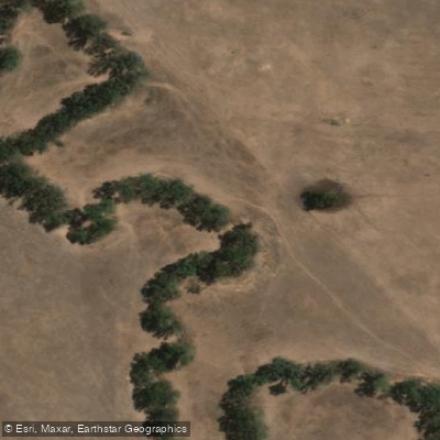
Spring Creek
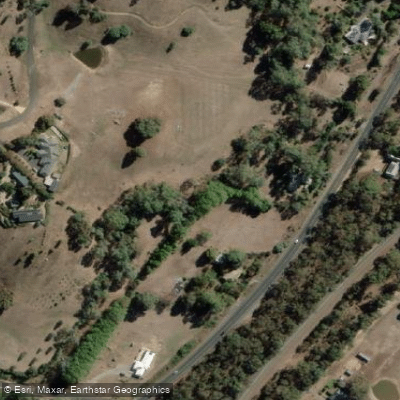
Barkers Creek
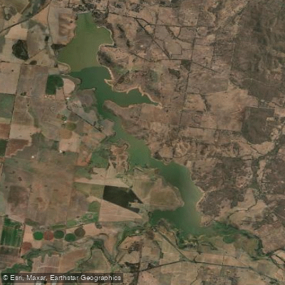
Cairn Curran Reservoir
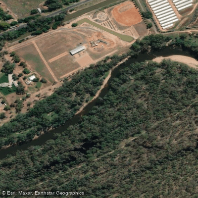
Goulburn River

Werribee River
Sandy Creek
Explore Victoria waters
Top paddling waters
No waters available right now.
Popular Cities
Loading popular cities...
Explore near Coliban River

Smarter Paddling Starts in the App.
Paddleways gives you everything you need to plan smarter, paddle better, and own every trip from first launch to takeout.