Brunswick River
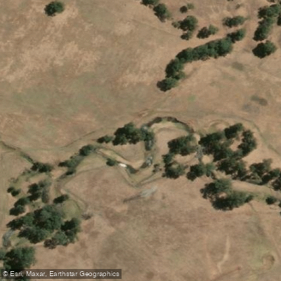
Brunswick River
- Boat Ramps
- 0
- Access Points
- 0
- Campsites
- 0
The Brunswick River offers paddling access points and boat ramps, with facilities available for a day on the water. The river flows through forested areas, and a specific swimming hole and walk attraction provides an opportunity for kayaking. The river's catchment area is approximately 528 square kilometers. It rises in the Darling Range and joins the Collie River about six kilometers upstream of the Leschenault Inlet. The surrounding estate features many forest trails for walking, and activities like fishing are also possible along the river.
Water access, boat ramps & amenities
Learn how to get on Brunswick River. Uncover great paddling access points, boat ramps, and all the facilities you need for an unforgettable day on the water. Some locations shown may border or include private property. Always check property boundaries and applicable regulations before visiting. PaddleWays's Public & Private Land layer can help you plan your access with confidence.
Paddle smarter with real-time insights
Whether you're en route and conditions shift or you're looking for the best spot based on current flows, we enable you to make informed decisions on the fly.







Western Australia licenses and regulations

Find Places to Paddle

Over 400,000 Places to Paddle
Every user gets free access to launch points, boat ramps, and public property parcels.


Water and weather conditions (10 day forecast)
See the best times to paddle Brunswick River and check the forecast before you go.
Brunswick River - Sandalwood
All Flow Stations
Paddling near Brunswick River
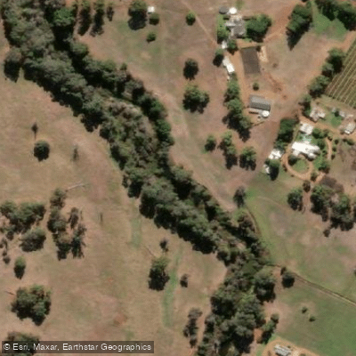
Preston River
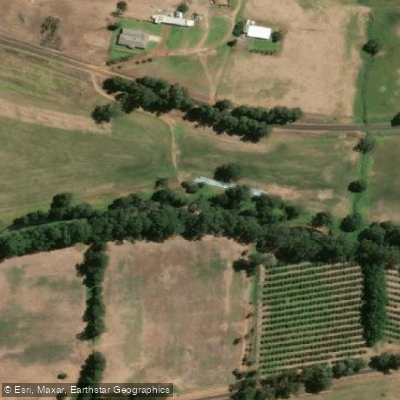
Collie River
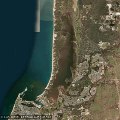
Leschenault Inlet
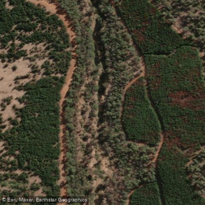
Blackwood River
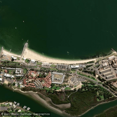
Koombana Bay Beach
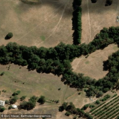
Capel River
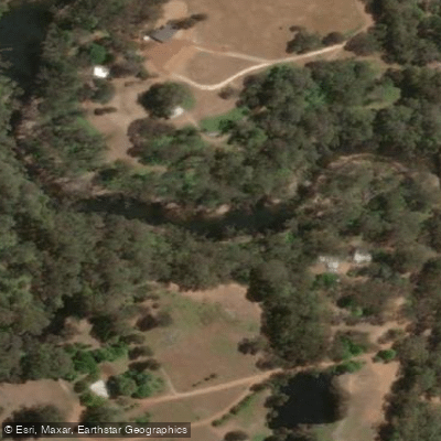
Murray River
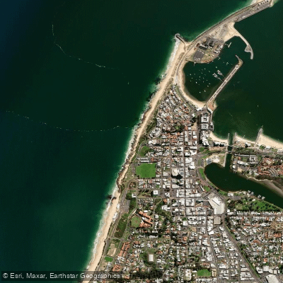
Jetty Baths
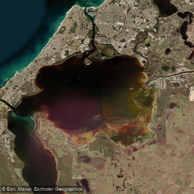
Peel Inlet
Explore Western Australia waters
Top paddling waters
No waters available right now.
Popular Cities
Loading popular cities...
Explore near Brunswick River
Nearby waters
More in Western Australia

Smarter Paddling Starts in the App.
Paddleways gives you everything you need to plan smarter, paddle better, and own every trip from first launch to takeout.