Capel River
Capel River
- Boat Ramps
- 0
- Access Points
- 0
- Campsites
- 0
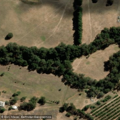
The Capel River is located in the South West region of Western Australia, rising in the Darling Range east of Mullalyup and flowing approximately 32 kilometres in a north-westerly direction before emptying into Geographe Bay at Peppermint Grove Beach. With a catchment basin of 653 square kilometres, it is the largest river in the Geographe catchment. The river forms at the confluence of the Capel River North and Capel River South near Goodwood, and crosses the Bussell Highway near the town of Capel. An artificial river mouth was cut through the sand dunes adjacent to the Stirling Wetlands in 1880 to allow direct flow into Geographe Bay.
The most documented paddling route is a roughly 10-kilometre return trip graded at Grade I, accessed from Mallokup Road, Capel. This access point sits just upstream of a weir, which maintains water levels year-round and makes the route viable across seasons. The trip duration is approximately two hours. Paddling upstream from Mallokup Road, the first three kilometres pass through relatively open farmland, offering a pleasant winding paddle. At the three-kilometre mark the river forks; taking the right fork (when facing upstream) leads past the Capel Vale winery and continues approximately two kilometres to the Bussell Highway bridge. This upper section narrows and becomes fairly shallow, with a few minor logs to negotiate. Beyond the Bussell Highway bridge, extensive fallen trees and brush block further upstream progress, and the river becomes too shallow and narrow to paddle. The route requires no portages and no shuttle, as paddlers return downstream to the Mallokup Road put-in.
The river's aquatic habitat includes dense woody debris of various sizes, overhanging banks, submerged macrophytes including ribbon weed, and overhanging roots. Native fish species recorded in the river include nightfish, western pygmy perch, and freshwater cobbler, though introduced redfin perch are also present. The Capel River has also been used for organised paddling events, including a 15-kilometre descent combining river and open ocean paddling along Geographe Bay, first held in June 2009.
Water access, boat ramps & amenities
Learn how to get on Capel River. Uncover great paddling access points, boat ramps, and all the facilities you need for an unforgettable day on the water. Some locations shown may border or include private property. Always check property boundaries and applicable regulations before visiting. PaddleWays's Public & Private Land layer can help you plan your access with confidence.
Paddle smarter with real-time insights
Whether you're en route and conditions shift or you're looking for the best spot based on current flows, we enable you to make informed decisions on the fly.







Western Australia licenses and regulations

Find Places to Paddle

Over 400,000 Places to Paddle
Every user gets free access to launch points, boat ramps, and public property parcels.


Water and weather conditions (10 day forecast)
See the best times to paddle Capel River and check the forecast before you go.
Capel River - Capel Railway Bridge
All Flow Stations
Paddling near Capel River
Preston River
Margaret River
Tobys Inlet
Blackwood River
Collie River
Abbey Beach
Donnelly River
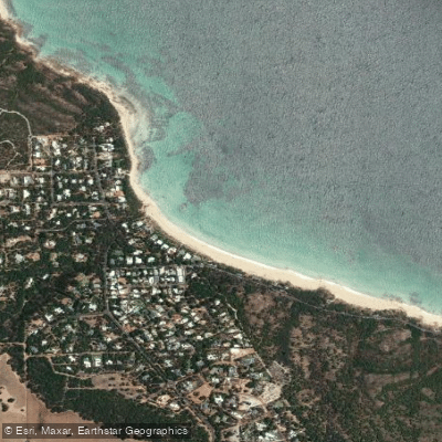
Eagle Bay
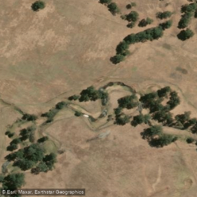
Brunswick River
Explore Western Australia waters
Top paddling waters
No waters available right now.
Popular Cities
Loading popular cities...
Explore near Capel River
Nearby waters
More in Western Australia

Smarter Paddling Starts in the App.
Paddleways gives you everything you need to plan smarter, paddle better, and own every trip from first launch to takeout.