Peel Inlet
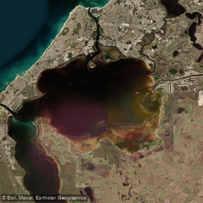
Peel Inlet
- Boat Ramps
- 7
- Access Points
- 5
- Campsites
- 0
Peel Inlet is part of the Peel-Harvey Estuary, the largest and most diverse estuarine complex in south-western Australia, located near the coastal town of Mandurah approximately 75 kilometres south of Perth. The inlet covers roughly 134 square kilometres — twice the size of Sydney Harbour — with a shoreline extending nearly 100 miles. It sits at latitudes between approximately -32.79 and -32.52, and connects to the Indian Ocean via the natural estuary mouth in Mandurah and the Dawesville Cut, an artificial channel opened in 1994. The Serpentine and Murray rivers flow from the north and east into the Peel Inlet, feeding fresh water into the otherwise saline and brackish system.
The Peel-Harvey Estuary was listed under the Ramsar Convention in 1990 as a wetland of international significance, and the inlet supports tens of thousands of waterbirds annually, including migratory shorebirds from the northern hemisphere. The area also hosts one of Australia's healthiest dolphin populations, making wildlife encounters a realistic prospect during a paddle. Several nature conservation reserves protect the natural values of the estuary and its wildlife.
The Peel-Harvey Estuary Paddle Trail Network offers eight designated trails within the Peel Inlet, Harvey Estuary, and the Murray, Serpentine, and Harvey rivers, providing options suited to varied weather conditions and paddler objectives. Kayaks and canoes can be hired locally. Paddlers should observe standard boating rules, keeping to the right-hand side or outside of designated boating channels, as the inlet is a major recreational waterway with more than 700 boats in operation during busy periods. Boat traffic and variable standards of boat use are noted safety concerns.
Weather conditions can change rapidly, and paddlers are advised to check wind and water conditions before departing. Current water conditions can be obtained by contacting the Department of Water. The estuary has a documented history of water quality issues stemming from European settlement, including nutrient loading from the catchment that caused ecological problems in the 1970s and 1980s; the opening of the Dawesville Cut in 1994 improved flushing and water quality. Crabbing, fishing, and prawn catching are popular activities on the inlet, which supports the most important commercial estuarine fishery in Western Australia.
Water access, boat ramps & amenities
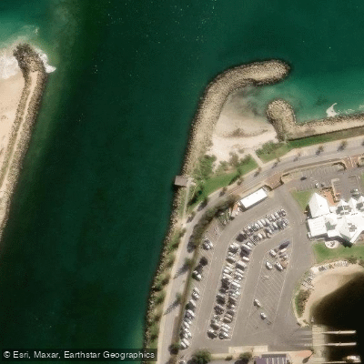
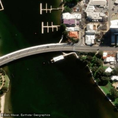
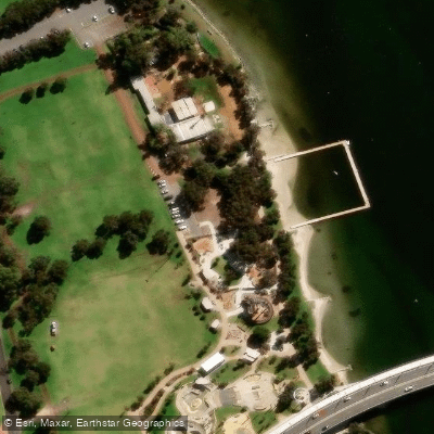
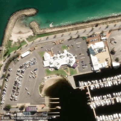
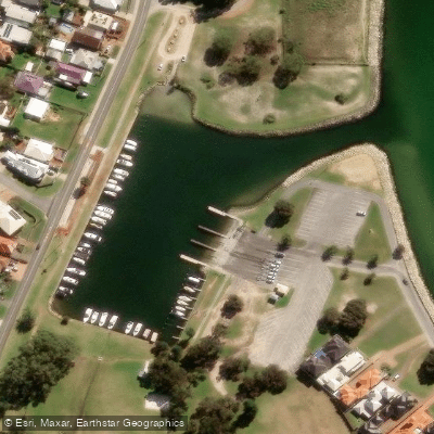
Learn how to get on Peel Inlet. Uncover great paddling access points, boat ramps, and all the facilities you need for an unforgettable day on the water. Some locations shown may border or include private property. Always check property boundaries and applicable regulations before visiting. PaddleWays's Public & Private Land layer can help you plan your access with confidence.
Paddle smarter with real-time insights
Whether you're en route and conditions shift or you're looking for the best spot based on current flows, we enable you to make informed decisions on the fly.







Western Australia licenses and regulations

Find Places to Paddle

Over 400,000 Places to Paddle
Every user gets free access to launch points, boat ramps, and public property parcels.


Water and weather conditions (10 day forecast)
See the best times to paddle Peel Inlet and check the forecast before you go.
No forecast data available.
Paddling near Peel Inlet
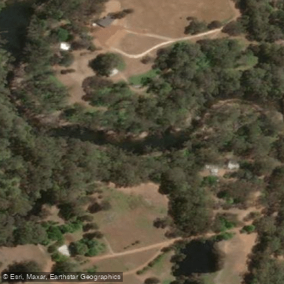
Murray River
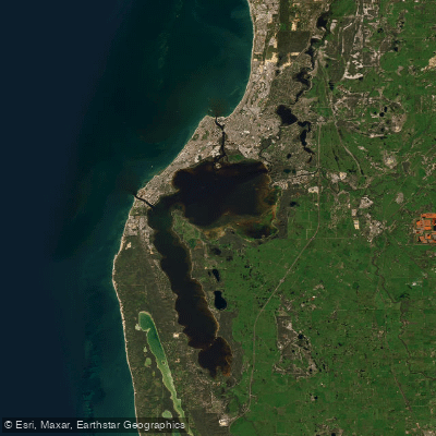
Peel-Harvey Estuary
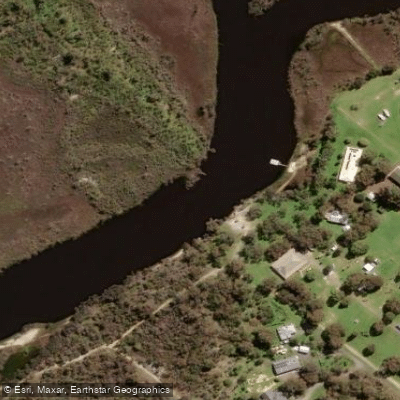
Serpentine River
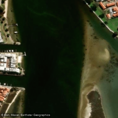
Mandurah Estuary
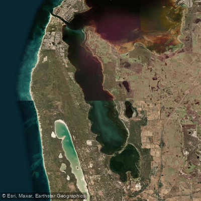
Harvey Estuary
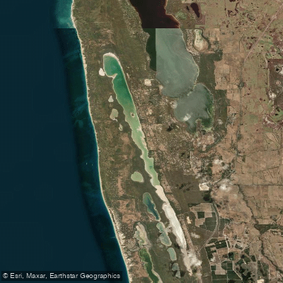
Lake Clifton
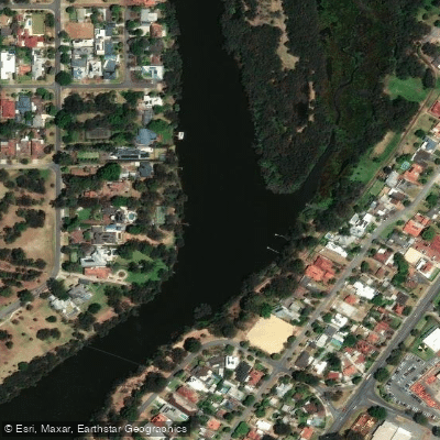
Swan River
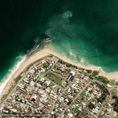
Doddis Beach
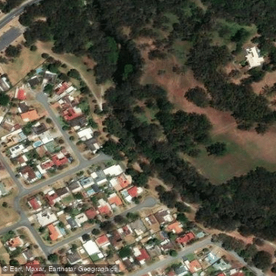
Canning River
Explore Western Australia waters
Top paddling waters
No waters available right now.
Popular Cities
Loading popular cities...
Explore near Peel Inlet
Access points
Nearby waters
More in Western Australia

Smarter Paddling Starts in the App.
Paddleways gives you everything you need to plan smarter, paddle better, and own every trip from first launch to takeout.