Collie River
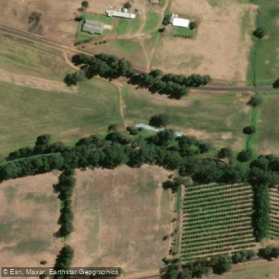
Collie River
- Boat Ramps
- 2
- Access Points
- 0
- Campsites
- 2
The Collie River in Western Australia runs 154 kilometres from its source in the Darling Range to the Leschenault Estuary near Bunbury, roughly two hours south of Perth. The river meanders through suburbs, forest, and farmland, offering considerable variety along its length. It holds significant cultural importance to the Nyungar people, who regard it as a sacred waterway and a registered mythological site under the Aboriginal Heritage Act 1972. The river is associated with the Waugal, a serpent deity central to Noongar spiritual tradition.
The river divides naturally into distinct paddling characters depending on location. The upper reaches above Collie town and below Wellington Dam are suited to moving water and whitewater paddling, particularly in winter and spring when flows are higher. The section below Wellington Dam is described as a popular paddlers' playground in summer. Minningup Pool, within Wellington National Park, is a calm Grade 1 location used for guided family kayak tours covering distances of 3 to 6 kilometres. Honeymoon Pool is another noted spot in the upper river, though paddlers should be aware that downstream of the second drop there are grade three rapids, a weir, irrigation canals, and a section where the river disappears underground — paddlers are advised not to continue past that point and to return upstream instead.
The lower river, from the Eaton foreshore toward the Leschenault Estuary, offers flat-water paddling. The Eaton to The Cut kayak trail is a 4-kilometre return route starting from the boat ramp at Eaton on Old Coast Road. Along this stretch paddlers pass the Grand Canals, Pelican Point, an osprey nest on the northern bank, and Bar Island at the rivermouth. Dolphins are frequently seen in this area. The river mouth opens to the Leschenault Estuary, which provides access to The Cut and the ocean beyond. The estuary supports a wide range of birdlife including black swans, pelicans, cormorants, ibis, and the critically endangered Eastern Curlew.
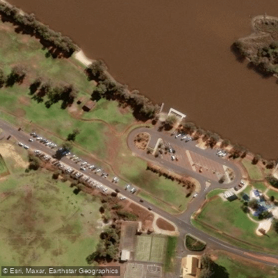
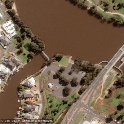
Boat ramps are available at the Collie River Bridge (Taylor Road, Pelican Point), the Eaton Foreshore (Pratt Road, Eaton), the Elbow Reserve (Barnes Avenue, Australind), and Ridley Place (Paris Road, Australind). The Eastwell Boat Ramp Precinct also provides launch access in the lower river area. Water level and flow are important planning considerations, particularly in the upper river, where conditions can change quickly following rainfall.
Water access, boat ramps & amenities
Learn how to get on Collie River. Uncover great paddling access points, boat ramps, and all the facilities you need for an unforgettable day on the water. Some locations shown may border or include private property. Always check property boundaries and applicable regulations before visiting. PaddleWays's Public & Private Land layer can help you plan your access with confidence.
Paddle smarter with real-time insights
Whether you're en route and conditions shift or you're looking for the best spot based on current flows, we enable you to make informed decisions on the fly.







Western Australia licenses and regulations

Find Places to Paddle

Over 400,000 Places to Paddle
Every user gets free access to launch points, boat ramps, and public property parcels.


Water and weather conditions (10 day forecast)
See the best times to paddle Collie River and check the forecast before you go.
Collie River - Rose Rd
All Flow Stations
Paddling near Collie River
Preston River
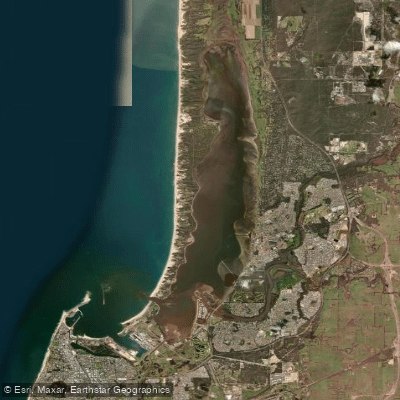
Leschenault Inlet
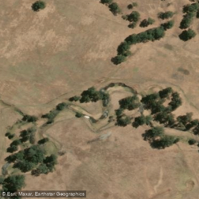
Brunswick River
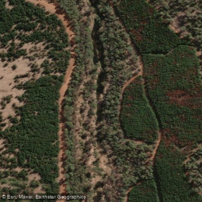
Blackwood River
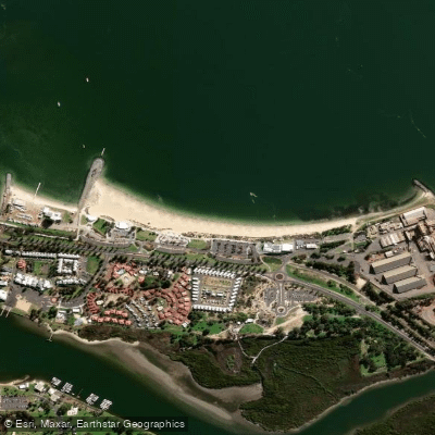
Koombana Bay Beach
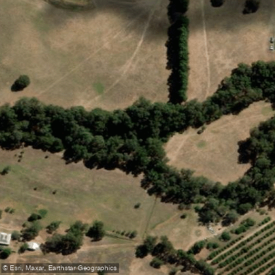
Capel River
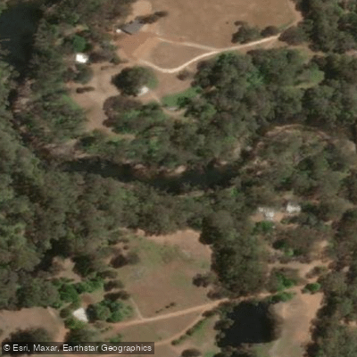
Murray River
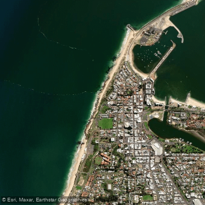
Jetty Baths
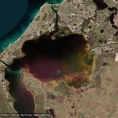
Peel Inlet
Explore Western Australia waters
Top paddling waters
No waters available right now.
Popular Cities
Loading popular cities...
Explore near Collie River

Smarter Paddling Starts in the App.
Paddleways gives you everything you need to plan smarter, paddle better, and own every trip from first launch to takeout.