Prince Regent River
- Saltwater
- Estuary
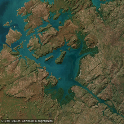
Prince Regent River
- Saltwater
- Estuary
- Sq. miles
- 237
- Boat Ramps
- 0
- Access Points
- 0
- Campsites
- 0
The Prince Regent River is a remote tidal estuary on the Kimberley coast, characterized by high cliffs, mangrove-lined shores, and significant tidal influence. Access is extremely remote, typically involving a multi-week coastal paddle from a point like Derby or a boat drop. There are no formal launches or take-outs; paddlers must use natural features like rocky capes or beaches, which can be exposed and slippery at low tide. The tidal range in the broader Kimberley region is among the highest in the world, exceeding 11 meters in places, dictating all travel. Paddlers must plan journeys around these tides, with one account describing a planned 70-kilometer paddle upriver on an incoming tide to reach Camp Creek and a waterfall. The coastline features few landing spots, with long stretches of mangroves or high cliffs, making it critical to reach a known campsite before sunset.
The river and its coastline are exposed and treacherous, with unsettled weather and the potential for cyclones during the wet season. A primary and severe hazard is the presence of a large population of saltwater crocodiles; surveys have historically counted high numbers in the river, and fatal attacks on humans have occurred. The water is murky, and crocodiles can be encountered anywhere. Other hazards include slippery coral reefs when launching at low tide, potential for strong currents in the tidal estuary, and the isolation meaning no quick rescue is possible. Notable sights include Kings Cascade, a waterfall flowing into the river, and the historically significant Mermaid Tree at nearby Careening Bay. The overall experience is one of expedition-level challenge in a spectacular, rugged, and unforgiving wilderness with significant historical exploration links. There are no facilities or amenities for paddlers; all food, water, and safety equipment must be carried in. The best season for paddling is not explicitly stated, but accounts mention expeditions during the early March wet season, which brings very high temperatures, cyclones, and deluges, suggesting this is a highly challenging and dangerous time to undertake a trip.
Water access, boat ramps & amenities
Learn how to get on Prince Regent River. Uncover great paddling access points, boat ramps, and all the facilities you need for an unforgettable day on the water. Some locations shown may border or include private property. Always check property boundaries and applicable regulations before visiting. PaddleWays's Public & Private Land layer can help you plan your access with confidence.
Paddle smarter with real-time insights
Whether you're en route and conditions shift or you're looking for the best spot based on current flows, we enable you to make informed decisions on the fly.







Western Australia licenses and regulations

Find Places to Paddle

Over 400,000 Places to Paddle
Every user gets free access to launch points, boat ramps, and public property parcels.


Tides, wind & water conditions (10 day forecast)
On open water, wind and tide matter as much as the weather. See the best times to paddle Prince Regent River and check the marine forecast before you launch.
Loading tide predictions…
Paddling near Prince Regent River
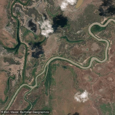
Adelaide River
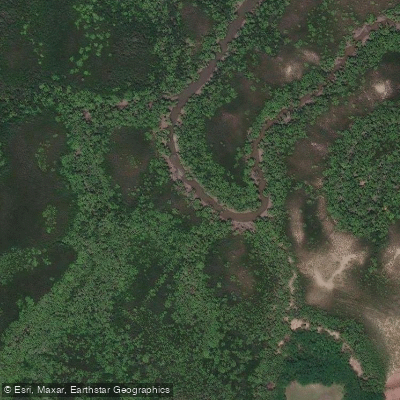
Ludmilla Creek
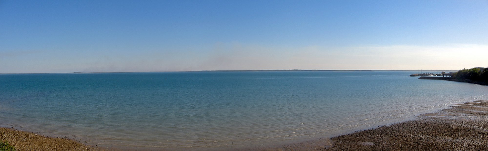
Darwin Harbour
Finnis River
Sandy Creek
East Arm
Margaret River
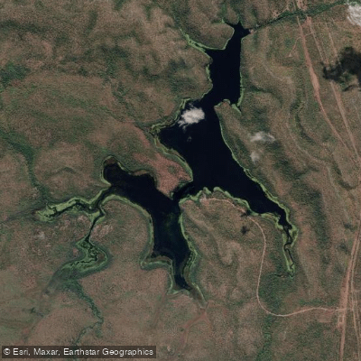
Manton Dam
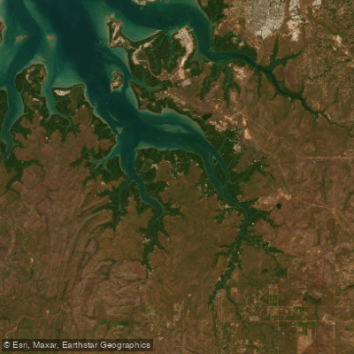
Middle Arm
Walker Creek
Explore Western Australia waters
Top paddling waters
No waters available right now.
Popular Cities
Loading popular cities...
Explore near Prince Regent River
Nearby waters
More in Western Australia

Smarter Paddling Starts in the App.
Paddleways gives you everything you need to plan smarter, paddle better, and own every trip from first launch to takeout.