Roe River
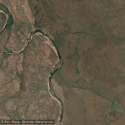
Roe River
- Boat Ramps
- 0
- Access Points
- 0
- Campsites
- 0
The Roe River is located in the Kimberley region of Western Australia, flowing approximately 66 kilometres from its headwaters in the Princess May Ranges within Prince Regent National Park in a north-westerly direction before discharging into Prince Frederick Harbour in York Sound. The river drains a basin of roughly 3,278 square kilometres, with tributaries including the Moran River, Garimbu Creek, Wyulda Creek, Rufous Creek, and Gandjal Creek.
In character, the Roe is a wide, meandering river that combines sections of stunning waterfalls with flat rock ledges alongside beautiful sandy stretches lined with paperbark trees. The river contains several permanent pools, including Paradise Pool, where cliff faces display extensive examples of ancient indigenous rock art known as Bradshaw paintings (also called Gwion Gwion), dated to a minimum of 17,000 years before the present. This cultural and natural heritage makes the river a significant destination for those exploring the region.
Access to the Roe River is extremely remote. Tour operators have used light aircraft charters to the Mitchell Plateau airstrip, followed by helicopter transfers to reach the river's upper reaches. The surrounding landscape is rugged and isolated, and the area is typically explored as part of multi-week expeditions combining walking and paddling. The broader coastal waters near the river's mouth in Prince Frederick Harbour and the adjacent King Sound are subject to extremely powerful tidal currents — expedition paddlers have described the tidal flows in nearby channels as racing at dangerous speeds, capable of sweeping paddlers off course across channels more than two kilometres wide. These tidal conditions demand careful planning, experienced judgment, and thorough pre-departure briefings.
The region supports rich birdlife and diverse wildlife. The surrounding Prince Regent National Park landscape is one of the most isolated in Australia, and the combination of waterfalls, gorges, ancient art sites, and remote wilderness gives the river a character suited to experienced expedition paddlers rather than casual day-trippers. Facilities and amenities are essentially nonexistent along the river itself, with bush camping on rock ledges or sandy banks being the standard accommodation. Any trip to the Roe River requires comprehensive self-sufficiency, including food drops arranged in advance.
Water access, boat ramps & amenities
Learn how to get on Roe River. Uncover great paddling access points, boat ramps, and all the facilities you need for an unforgettable day on the water. Some locations shown may border or include private property. Always check property boundaries and applicable regulations before visiting. PaddleWays's Public & Private Land layer can help you plan your access with confidence.
Paddle smarter with real-time insights
Whether you're en route and conditions shift or you're looking for the best spot based on current flows, we enable you to make informed decisions on the fly.







Western Australia licenses and regulations

Find Places to Paddle

Over 400,000 Places to Paddle
Every user gets free access to launch points, boat ramps, and public property parcels.


Water and weather conditions (10 day forecast)
See the best times to paddle Roe River and check the forecast before you go.
No forecast data available.
Paddling near Roe River
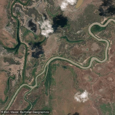
Adelaide River
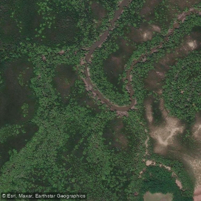
Ludmilla Creek
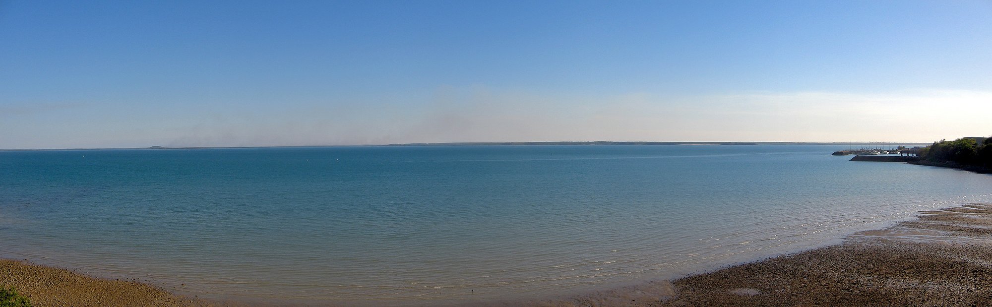
Darwin Harbour
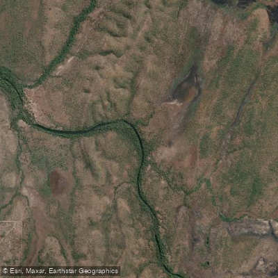
Finnis River
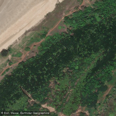
Sandy Creek
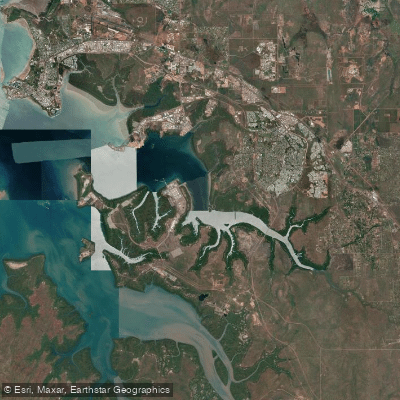
East Arm
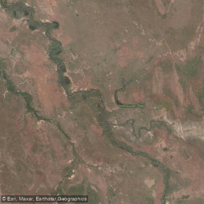
Margaret River
Manton Dam
Middle Arm
Walker Creek
Explore Western Australia waters
Top paddling waters
No waters available right now.
Popular Cities
Loading popular cities...
Explore near Roe River
Nearby waters
More in Western Australia

Smarter Paddling Starts in the App.
Paddleways gives you everything you need to plan smarter, paddle better, and own every trip from first launch to takeout.