Burrard Inlet
- Saltwater
- Inlet

Burrard Inlet
- Saltwater
- Inlet
- Sq. miles
- 44
- Boat Ramps
- 0
- Access Points
- 0
- Campsites
- 0
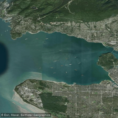
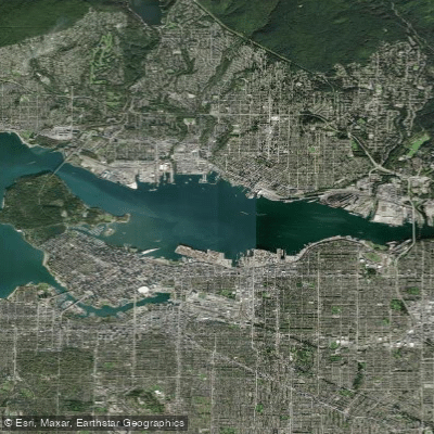
Burrard Inlet is a major saltwater inlet in Metro Vancouver, offering an urban paddling environment with views of the city skyline and the North Shore Mountains. The inlet is spanned by the Lions Gate Bridge, and its waters are used by a significant amount of commercial and recreational traffic, including cruise ships, float planes, and frequent SeaBus ferries crossing between Vancouver and North Vancouver. This creates a dynamic but potentially hazardous environment for paddlers who must remain highly aware of vessel traffic, particularly in the busy First Narrows area and the main harbour. Several specific launch points provide access for non-motorized craft. Barnet Marine Park features a paved driveway suitable for launching canoes, kayaks, or sailboats, though motorized boats cannot launch from there. Rocky Point Park in Port Moody, at the eastern end of the inlet, offers a paved boat ramp for launching; paddlers are advised to use the ramp and avoid the adjacent mudflats to prevent encountering quicksand and barnacles. Jericho Beach on the Vancouver side is another popular access point, though it can experience wind and wave action from the inlet. The paddling experience varies significantly with conditions. Jericho Beach can get windy, creating gentle waves from wind, swell, and vessel wake, offering a challenge for paddlers. On calm days, especially when the tide is out, it can be suitable for various skill levels. Water quality in the inlet is generally not swimmable, though it is considered cleaner than nearby False Creek. The area holds cultural significance for local First Nations, with modern transit like the SeaBus drawing parallels to traditional canoe crossings. Facilities are available near launch sites, with rental outlets like Rocky Point Kayak operating seasonally and offering kayak, SUP, and canoe rentals, as well as instruction.
Water access, boat ramps & amenities
Learn how to get on Burrard Inlet. Uncover great paddling access points, boat ramps, and all the facilities you need for an unforgettable day on the water. Some locations shown may border or include private property. Always check property boundaries and applicable regulations before visiting. PaddleWays's Public & Private Land layer can help you plan your access with confidence.
Paddle smarter with real-time insights
Whether you're en route and conditions shift or you're looking for the best spot based on current flows, we enable you to make informed decisions on the fly.







Bc licenses and regulations
No licenses or regulations available for Bc.
Find Places to Paddle

Over 400,000 Places to Paddle
Every user gets free access to launch points, boat ramps, and public property parcels.


Tides, wind & water conditions (10 day forecast)
On open water, wind and tide matter as much as the weather. See the best times to paddle Burrard Inlet and check the marine forecast before you launch.
Loading tide predictions…
Paddling near Burrard Inlet






Explore Bc waters
Top paddling waters
No waters available right now.
Popular Cities
Loading popular cities...
Explore near Burrard Inlet

Smarter Paddling Starts in the App.
Paddleways gives you everything you need to plan smarter, paddle better, and own every trip from first launch to takeout.