Pitt River

Pitt River
- Boat Ramps
- 0
- Access Points
- 0
- Campsites
- 0
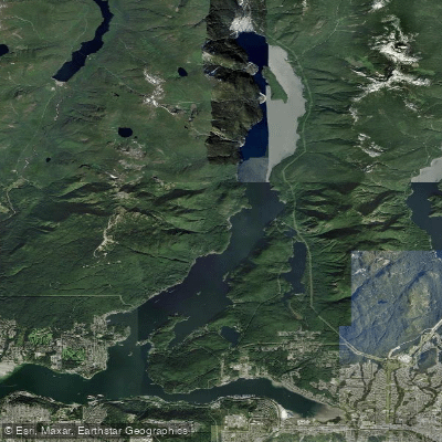
The Pitt River in British Columbia flows between Pitt Meadows and Pitt Lake, running roughly north-south and connecting the Fraser River system to one of the largest tidal lakes in North America. The river is tidally influenced, meaning currents and water levels shift significantly with the tides. Maximum currents typically run 2.0 knots or less, though 2–3 knots are possible. High water in the Pitt River generally occurs 1–2 hours after high water at Point Atkinson, and the lower low water typically occurs 3–4 hours after low water at Point Atkinson. The daily tidal range is 1.5 metres or less, roughly one-third the range seen in the Strait of Georgia, and water levels are also influenced by Fraser River discharge rates. When current flows north into Pitt Lake, peak rates occur around the time of high water at Point Atkinson, with northerly flow running from approximately 1–2 hours before to 2–3 hours after that high water mark. Timing a crossing or transit with the tides is important, particularly at the entrance to Pitt Lake near Grant Narrows, where wind-over-tide conditions through the narrow boat channel have historically caused fatalities.
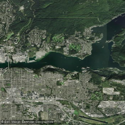
Common access points include the Trail Pavilion launch at Harris Road Bridge in Pitt Meadows, which provides entry via the Alouette River before connecting to the Pitt, and the Pitt Lake Boat Launch at the end of Rannie Road in Pitt Meadows, which gives more direct access to the lake and upper river. The lower Pitt River corridor passes marshland along its east bank, with stands of grass and occasional wildlife including blue herons, Canada geese, eagles, beavers, otters, muskrats, and mergansers. Goose Bar, a low island located north of the Lougheed Highway bridge on the east side of the river, features a sandy beach and is reachable by a roughly 10-minute crossing of approximately 0.5 km from the mouth of the Alouette River.
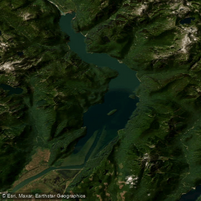
The upper Pitt River, accessed by crossing Pitt Lake, is more remote and runs predominantly class 1–2 with occasional small rapids, surrounded by mountain terrain. The river is known for salmon runs, which in turn attract concentrations of eagles. Paddlers crossing the Pitt River should be prepared for boat traffic and associated wakes, as well as afternoon winds that can develop and create challenging conditions, particularly for stand-up paddleboards.
Water access, boat ramps & amenities
Learn how to get on Pitt River. Uncover great paddling access points, boat ramps, and all the facilities you need for an unforgettable day on the water. Some locations shown may border or include private property. Always check property boundaries and applicable regulations before visiting. PaddleWays's Public & Private Land layer can help you plan your access with confidence.
Paddle smarter with real-time insights
Whether you're en route and conditions shift or you're looking for the best spot based on current flows, we enable you to make informed decisions on the fly.







Bc licenses and regulations
No licenses or regulations available for Bc.
Find Places to Paddle

Over 400,000 Places to Paddle
Every user gets free access to launch points, boat ramps, and public property parcels.


Water and weather conditions (10 day forecast)
See the best times to paddle Pitt River and check the forecast before you go.
PITT RIVER NEAR PORT COQUITLAM






Explore Bc waters
Top paddling waters
No waters available right now.
Popular Cities
Loading popular cities...
Explore near Pitt River
Access points
Nearby waters
More in Bc

Smarter Paddling Starts in the App.
Paddleways gives you everything you need to plan smarter, paddle better, and own every trip from first launch to takeout.