Lynn Creek
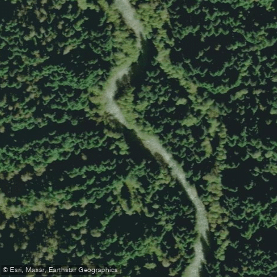
Lynn Creek
- Boat Ramps
- 0
- Access Points
- 0
- Campsites
- 0
Lynn Creek is a small drainage in North Vancouver, British Columbia, sitting between the Capilano and Seymour Canyon in both geography and difficulty. The creek runs crystal clear and offers a picturesque canyon setting that belies its urban location. It is rated Class III at lower water levels and Class IV when flows are high, making it accessible to a range of paddlers depending on conditions.
The put-in is at Lynn Canyon Park, where paddlers follow signs for the Twin Falls bridge at the south end of the park. From the parking lot, it is a 5 to 10 minute walk to the water, descending a significant number of steps and some exposed tree roots. At the put-in, there is an optional waterfall that paddlers can choose to run. Notably, the section above Twin Falls is described as serious whitewater of dubious runnability and should be treated with caution. The take-out is at Bridgeman Park, just south of the Keith Road bridge. The run itself typically takes 1 to 2 hours.
Hazards on the Lynn require attention. Portions of the river pass through a deep canyon where scouting options are limited, and wood in the river is frequently noted as a problem. Paddlers should be prepared for variable scouting and portaging situations throughout the run.
A visual staff gauge is located at the take-out and serves as the primary tool for assessing water levels. Because the creek is a small drainage, levels respond quickly to precipitation. The best time to paddle is after heavy rain, generally in the fall and winter months.
Regarding fishing regulations, the creek is closed year-round between signs 200 metres above and 150 metres below the Twin Falls bridge, and a bait ban applies on the main stem. Paddlers should be aware of these closures as they correspond to a section near the put-in area.
The overall character of the run is that of a quality urban whitewater experience, with the canyon providing a natural atmosphere despite the surrounding city. Access logistics are straightforward given the urban setting, with multiple route options available for the shuttle between put-in and take-out.
Water access, boat ramps & amenities
Learn how to get on Lynn Creek. Uncover great paddling access points, boat ramps, and all the facilities you need for an unforgettable day on the water. Some locations shown may border or include private property. Always check property boundaries and applicable regulations before visiting. PaddleWays's Public & Private Land layer can help you plan your access with confidence.
Paddle smarter with real-time insights
Whether you're en route and conditions shift or you're looking for the best spot based on current flows, we enable you to make informed decisions on the fly.







Bc licenses and regulations
No licenses or regulations available for Bc.
Find Places to Paddle

Over 400,000 Places to Paddle
Every user gets free access to launch points, boat ramps, and public property parcels.


Water and weather conditions (10 day forecast)
See the best times to paddle Lynn Creek and check the forecast before you go.
No forecast data available.
Paddling near Lynn Creek
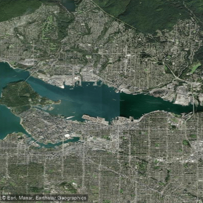
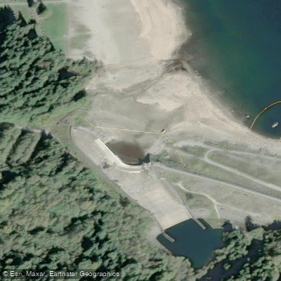
Explore Bc waters
Top paddling waters
No waters available right now.
Popular Cities
Loading popular cities...
Explore near Lynn Creek
Smarter Paddling Starts in the App.
Paddleways gives you everything you need to plan smarter, paddle better, and own every trip from first launch to takeout.