Carrot River
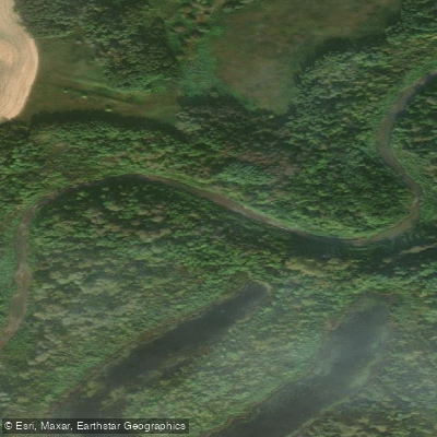
Carrot River
- Boat Ramps
- 0
- Access Points
- 0
- Campsites
- 0
The Carrot River originates at the outlet of Wakaw Lake in northeastern Saskatchewan and flows northeast through a drainage basin of 17,500 km², eventually crossing into Manitoba where it joins the Saskatchewan River in the Cumberland Delta near The Pas. The river descends from approximately 538 metres at its source to 264 metres at its mouth, passing through the aspen parkland ecoregion and the Pasquia Hills region of northeastern Saskatchewan.
Canoeing and kayaking are permitted on the river. Pasquia Regional Park, situated along the river, offers camping facilities and serves as one access point for paddlers, though no boat launch is available there. The park also features an interpretive centre focused on paleontological finds from the riverbanks, including fossils dated to approximately 92 million years old, and a trail leading to fossil dig sites along the river. The trail to the dig site is approximately 6 kilometres one way.
The Tway National Wildlife Area, a 2.5 km² protected area along the river in the RM of Invergordon No. 430, provides habitat for Canada geese, grebes, coots, owls, and songbirds. Struthers Lake, a small lake along the river's course roughly 28 kilometres southwest of Kinistino, has a regional park on its southern shore with a boat launch, campground, and cabin rentals.
The surrounding landscape of northeastern Saskatchewan consists of farmland, forest, and rugged hills, with moose, elk, white-tailed deer, and black bear present in the broader region. The river corridor passes through an area with minimal road access in stretches, particularly east of Carrot River town toward the Pasquia Hills.
Water access, boat ramps & amenities
Learn how to get on Carrot River. Uncover great paddling access points, boat ramps, and all the facilities you need for an unforgettable day on the water. Some locations shown may border or include private property. Always check property boundaries and applicable regulations before visiting. PaddleWays's Public & Private Land layer can help you plan your access with confidence.
Paddle smarter with real-time insights
Whether you're en route and conditions shift or you're looking for the best spot based on current flows, we enable you to make informed decisions on the fly.








Find Places to Paddle

Over 400,000 Places to Paddle
Every user gets free access to launch points, boat ramps, and public property parcels.


Water and weather conditions (10 day forecast)
See the best times to paddle Carrot River and check the forecast before you go.
CARROT RIVER NEAR KINISTINO
All Flow Stations
Paddling near Carrot River
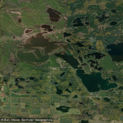
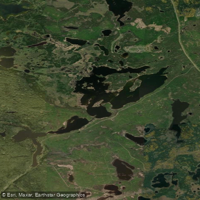
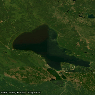
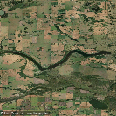
Explore Sk waters
Top paddling waters
No waters available right now.
Popular Cities
Loading popular cities...
Explore near Carrot River

Smarter Paddling Starts in the App.
Paddleways gives you everything you need to plan smarter, paddle better, and own every trip from first launch to takeout.