Eel River
Eel River
- Boat Ramps
- 0
- Access Points
- 0
- Campsites
- 0
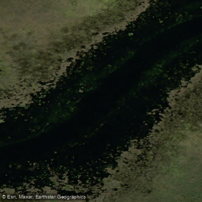
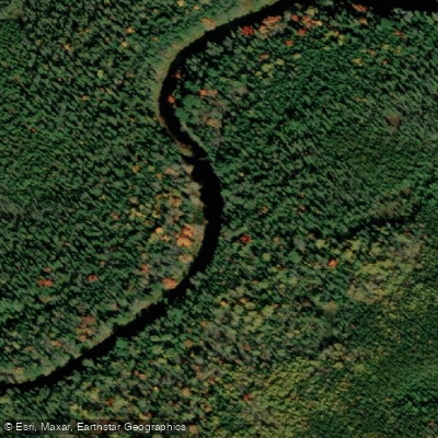
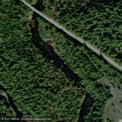
The Eel River in New Brunswick flows through the area between Meductic and Benton, where it has been dammed to create the Benton Deadwater, a long, wide flooded corridor approximately 3 kilometres in length. The dam is an arch dam located near the boat launch in Benton. The deadwater transitions from a wide, open expanse for roughly the first two-thirds of its length before narrowing into a more typical river channel lined with alders. The original riverbanks were once edged with hardwoods that overhung the water, but these could not survive the permanent flooding caused by the dam and have since been lost. The river is historically significant as part of an ancient travel corridor used for thousands of years by the Maliseet people to travel between the St. John River and Bangor, Maine — a route known as the Maliseet Trail.
The primary access point is the Benton Boat Landing, located at the end of the road past the main intersection in Benton. The facility includes a shelter, picnic tables, and a small dock. There is no fee to use the launch. From Benton, paddlers can explore two documented routes on the deadwater. The Island Loop is a 6.4-kilometre loop taking approximately 2 hours, rated easy, passing through wetlands with bird life. The Molly's Rock Route is a 10.7-kilometre return trip estimated at 5 hours, also rated easy, leading to a historically significant rock with carvings. A sign at the boat launch also identifies The Falls and Trout Pond as landmarks further upriver, with Trout Pond noted for water depths reaching 60 to 100 feet where the river flows around Sugarloaf Mountain. Both documented routes involve minimal current and no portages.
Two side streams enter the deadwater: one on the right not far from the boat launch, and Pocowogamis Stream on the left at approximately 2.5 kilometres from the launch. Cell reception is variable to nonexistent on the water. Insects, particularly flies and mosquitoes, can be a significant nuisance, especially at dusk, though dragonflies are sometimes present in large numbers and appear to reduce fly populations. Wind conditions on the open deadwater can vary considerably and should be factored into trip planning.
The Eel River also flows into the Saint John River near Meductic, where Meductic Memorial Park offers docks and a boat launch as an additional access option.
Water access, boat ramps & amenities
Learn how to get on Eel River. Uncover great paddling access points, boat ramps, and all the facilities you need for an unforgettable day on the water. Some locations shown may border or include private property. Always check property boundaries and applicable regulations before visiting. PaddleWays's Public & Private Land layer can help you plan your access with confidence.
Paddle smarter with real-time insights
Whether you're en route and conditions shift or you're looking for the best spot based on current flows, we enable you to make informed decisions on the fly.







Nb licenses and regulations
No licenses or regulations available for Nb.
Find Places to Paddle

Over 400,000 Places to Paddle
Every user gets free access to launch points, boat ramps, and public property parcels.


Water and weather conditions (10 day forecast)
See the best times to paddle Eel River and check the forecast before you go.
No forecast data available.
Paddling near Eel River
Explore Nb waters
Top paddling waters
No waters available right now.
Popular Cities
Loading popular cities...
Explore near Eel River

Smarter Paddling Starts in the App.
Paddleways gives you everything you need to plan smarter, paddle better, and own every trip from first launch to takeout.