Keswick River
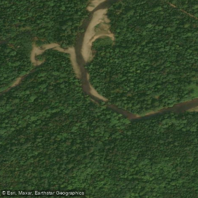
Keswick River
- Boat Ramps
- 0
- Access Points
- 0
- Campsites
- 0
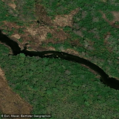
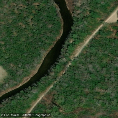
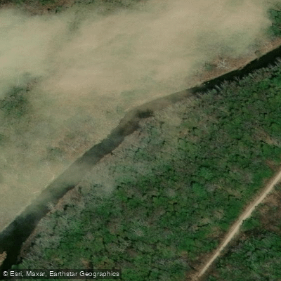
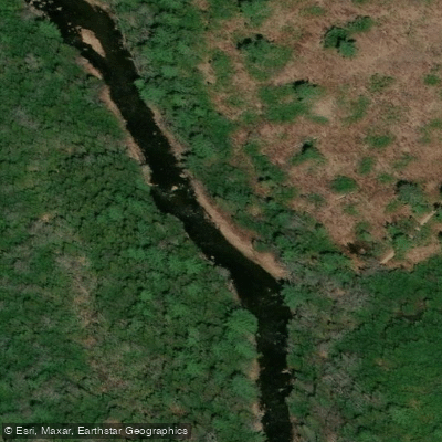
The Keswick River is a narrow, meandering tributary of the Saint John River (Wolastoq) in York County, New Brunswick. It originates in the wooded hills north of Crabbe Mountain and winds through farmland near Burtts Corner before joining the Saint John roughly one kilometre past the Route 105 bridge. The river doubles back on itself repeatedly, meaning distances on the water are roughly twice the straight-line distance along the road.
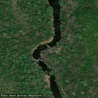
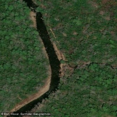
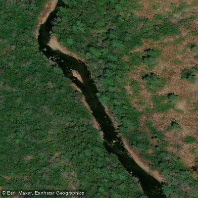
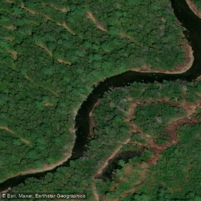
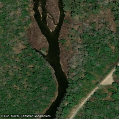
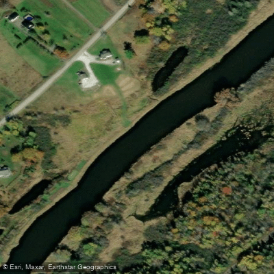
The overall character is gentle and flat, with no rapids or portages. The current is slow throughout, and the river curves constantly through farmer's fields with eroded clay banks on the outside of bends and small gravel beaches on the inside. Layers of clay exposed by erosion are visible along the higher banks, and bank swallow colonies nest in the steeper cliffs. Bald eagles and fish in deeper pools have also been observed along the route.
The primary hazards are minor strainers, occasional deadfall, two notable submerged logs (deadheads), and at least one log jam that must be navigated around. Fallen trees tend to collect on the outside of turns, so keeping to the inside of bends is advisable. The river is best suited to early spring when water levels are high enough to float through the many tight bends without grounding. In summer, water levels drop significantly and paddlers may need to walk sections; the lowest stretch from the Route 105 bridge to the Saint John River remains accessible throughout most of the paddling season except during drought.
Several distinct sections are commonly paddled. The Tripp Settlement to Route 104 route near Burtts Corner covers approximately 7.6 kilometres and is rated easy. The full lower Keswick River, running from the Upper Stone Ridge Road bridge to the Route 105 bridge, can take up to eight hours and is typically tackled in sections. From the Route 105 bridge, paddlers can continue approximately one kilometre to where the Keswick meets the Saint John, with the option to paddle around nearby islands.
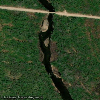
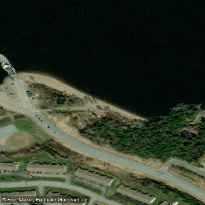
Access points are located at road bridges. At the Tripp Settlement Road bridge, parking is available in a small pulloff and a path leads down to a gravel beach beneath the span. At the Route 105 bridge near Keswick Ridge, a gravel road leads to a boat launch under the bridge. Paddlers should avoid blocking the access road at the lower take-out.
Water access, boat ramps & amenities
Learn how to get on Keswick River. Uncover great paddling access points, boat ramps, and all the facilities you need for an unforgettable day on the water. Some locations shown may border or include private property. Always check property boundaries and applicable regulations before visiting. PaddleWays's Public & Private Land layer can help you plan your access with confidence.
Paddle smarter with real-time insights
Whether you're en route and conditions shift or you're looking for the best spot based on current flows, we enable you to make informed decisions on the fly.







Nb licenses and regulations
No licenses or regulations available for Nb.
Find Places to Paddle

Over 400,000 Places to Paddle
Every user gets free access to launch points, boat ramps, and public property parcels.


Water and weather conditions (10 day forecast)
See the best times to paddle Keswick River and check the forecast before you go.
No forecast data available.
Paddling near Keswick River
Explore Nb waters
Top paddling waters
No waters available right now.
Popular Cities
Loading popular cities...
Explore near Keswick River

Smarter Paddling Starts in the App.
Paddleways gives you everything you need to plan smarter, paddle better, and own every trip from first launch to takeout.