Kaine Creek
Kaine Creek
- Boat Ramps
- 0
- Access Points
- 0
- Campsites
- 0
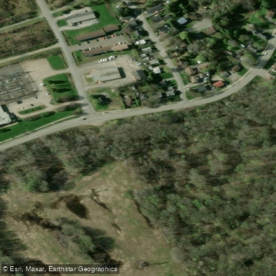
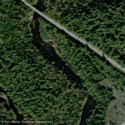
Kaine Creek is a back channel located near Fredericton, New Brunswick, flowing through the Nashwaak River valley. Its coordinates are approximately 45°58′N 66°36′W. The route is rated easy, with no current and a minimal elevation change of 3 metres over its length. The total paddling distance is 5.8 kilometres return, with an estimated time of about 3 hours. There are no portages required and no fees to access the route.
The put-in is accessed from the north side of Fredericton. Paddlers crossing the Princess Margaret Bridge should take the first exit, loop around, and continue straight through the lights onto Riverside Drive. The boat launch is described as steep. Once on the water, paddlers turn left toward an old train bridge, pass under it, and keep left. After a stretch of forested shoreline that includes an old bridge abutment, a narrower channel on the left marks the entrance to Kaine Creek itself.
The route follows a wooded area on the left bank and farmers' fields on the right. There are dugways cut into the fields that can be explored. Water levels are a significant factor on this route — adequate water is needed to travel very far up the creek, so conditions at the time of paddling will determine how much of the channel is navigable.
Wildlife sightings along the route have included deer, geese, ducklings, and beaver. The scenery is rated as beautiful, and cell reception is described as strong throughout. The creek is also noted as a fishing location, with smallmouth bass, brook trout, and yellow perch present in the water.
Kaine Creek is one of several paddling routes accessible from Fredericton, alongside Barker's Island and the Nashwaaksis Stream, all of which explore the mouth and lower reaches of the Nashwaak River where it meets the St. John/Wolostoq River.
Water access, boat ramps & amenities
Learn how to get on Kaine Creek. Uncover great paddling access points, boat ramps, and all the facilities you need for an unforgettable day on the water. Some locations shown may border or include private property. Always check property boundaries and applicable regulations before visiting. PaddleWays's Public & Private Land layer can help you plan your access with confidence.
Paddle smarter with real-time insights
Whether you're en route and conditions shift or you're looking for the best spot based on current flows, we enable you to make informed decisions on the fly.







Nb licenses and regulations
No licenses or regulations available for Nb.
Find Places to Paddle

Over 400,000 Places to Paddle
Every user gets free access to launch points, boat ramps, and public property parcels.


Water and weather conditions (10 day forecast)
See the best times to paddle Kaine Creek and check the forecast before you go.
No forecast data available.
Paddling near Kaine Creek
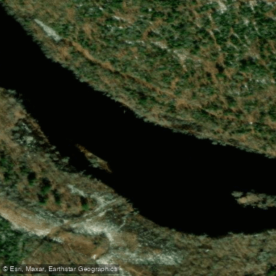
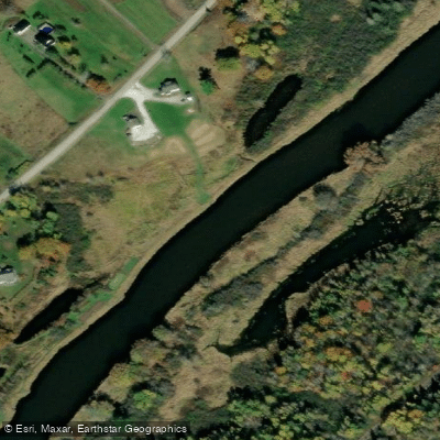
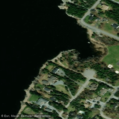
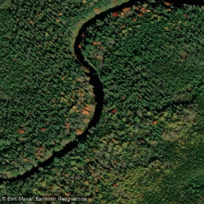
Explore Nb waters
Top paddling waters
No waters available right now.
Popular Cities
Loading popular cities...
Explore near Kaine Creek

Smarter Paddling Starts in the App.
Paddleways gives you everything you need to plan smarter, paddle better, and own every trip from first launch to takeout.