Bonne Bay
- Saltwater
- Bay
Bonne Bay
- Saltwater
- Bay
- Sq. miles
- 14
- Boat Ramps
- 0
- Access Points
- 0
- Campsites
- 0
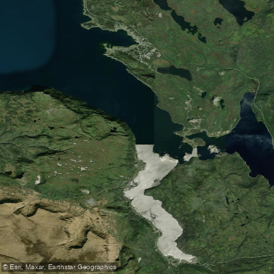
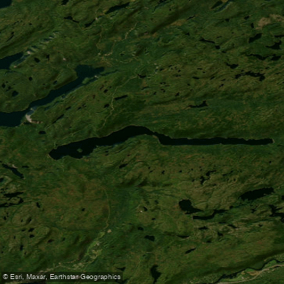
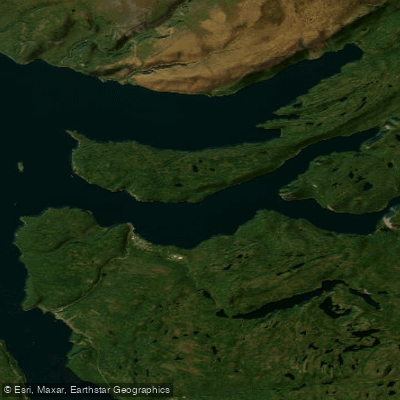
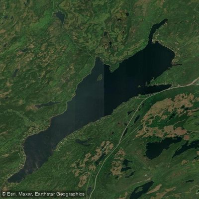
Bonne Bay is a large, double-armed fjord located within Gros Morne National Park on the west coast of Newfoundland. The bay is characterized by its deep, pristine waters and dramatic scenery, including views of the rust-colored Tablelands, Gros Morne Mountain, and the Long Range Mountains. A geological sill at the bay's entrance protects the inner arms, providing generally calmer waters compared to the open Gulf of St. Lawrence, making it a popular destination for sea kayaking, canoeing, and standup paddleboarding. The main hub for paddlers is Norris Point, situated on the promontory where the two arms meet. A primary launch point is the beach behind the Gros Morne Adventures office at 9 Clarke's Lane in Norris Point, offering direct access to the water. Other official launch areas within the park are located at the Mill Brook and Lomond day-use areas. A notable consideration for paddlers is wind, which is typically lighter in the morning and can strengthen considerably in the afternoon, affecting conditions especially in the more exposed South Arm. For multi-day trips or ambitious day tours, the numerous coastal villages like Woody Point, accessible across the fjord from Norris Point, provide potential take-out points and logistical support, including water taxi or zodiac shuttle services offered by local outfitters. The area is rich in marine wildlife; minke whales are frequent visitors, and paddlers commonly see bald eagles, Arctic terns, sea stars, urchins, and lush kelp beds. The water is cold year-round, necessitating appropriate gear. The paddling season for guided tours typically runs from June to mid-September. Parks Canada allows the use of personal canoes and kayaks on Bonne Bay. The overall experience combines accessible, protected paddling near Norris Point with the potential for more challenging, exposed conditions in the outer arms, all set against a backdrop of UNESCO World Heritage site geology and vibrant coastal ecology.
Water access, boat ramps & amenities
Learn how to get on Bonne Bay. Uncover great paddling access points, boat ramps, and all the facilities you need for an unforgettable day on the water. Some locations shown may border or include private property. Always check property boundaries and applicable regulations before visiting. PaddleWays's Public & Private Land layer can help you plan your access with confidence.
Paddle smarter with real-time insights
Whether you're en route and conditions shift or you're looking for the best spot based on current flows, we enable you to make informed decisions on the fly.







Nl licenses and regulations
No licenses or regulations available for Nl.
Find Places to Paddle

Over 400,000 Places to Paddle
Every user gets free access to launch points, boat ramps, and public property parcels.


Tides, wind & water conditions (10 day forecast)
On open water, wind and tide matter as much as the weather. See the best times to paddle Bonne Bay and check the marine forecast before you launch.
Loading tide predictions…
Paddling near Bonne Bay
Explore Nl waters
Top paddling waters
No waters available right now.
Popular Cities
Loading popular cities...
Explore near Bonne Bay

Smarter Paddling Starts in the App.
Paddleways gives you everything you need to plan smarter, paddle better, and own every trip from first launch to takeout.