East Arm
- Saltwater
- Bay
East Arm
- Saltwater
- Bay
- Sq. miles
- 10
- Boat Ramps
- 0
- Access Points
- 0
- Campsites
- 0
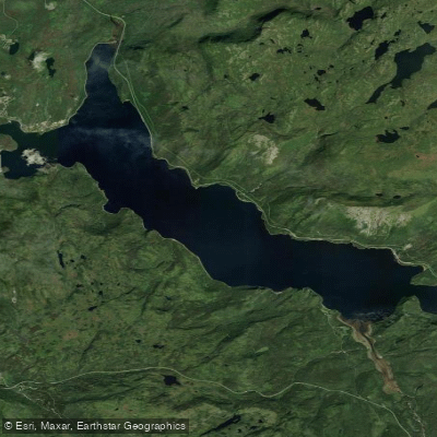
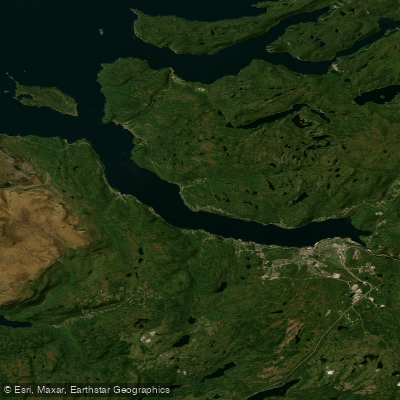
The East Arm is the northern fjord arm of Bonne Bay, located within Gros Morne National Park on the west coast of Newfoundland. It is a glacially carved saltwater fjord characterized by steep, forested slopes and mountain vistas, including views of Killdevil Mountain. The primary and most developed launch point for paddlers is the Lomond Campground, which offers a public boat launch and a dock directly on the East Arm, providing convenient water access for kayaks, canoes, and paddleboards. This campground also serves as a base with facilities including washrooms, showers, and walk-in campsites near the water. Another noted access area is Norris Cove, near the community of Norris Point, which is used as a starting point for loop trips. Guided commercial tours, which often use tandem sea kayaks and include one-way boat shuttles, operate from Norris Point and are available from mid-June through September, though they are subject to cancellation due to unsuitable weather conditions. The East Arm is known for challenging paddling conditions when weather deteriorates, with wind exposure being a significant factor. The fjord's fetch can generate choppy water, and paddlers should be prepared for these more demanding sea states. Wildlife sightings can include minke whales, bald eagles, Arctic and common terns, while the underwater environment features lush kelp beds, sea stars, and sea urchins. A recommended day trip route is a loop from Lomond Cove to the abandoned settlement of Stanleyville (also called Paynes Cove) and back, passing landmarks like Beachy Point. Another described loop launches from Norris Cove, proceeding to Gadd’s Harbour, Shag Cliff, Stores Cove, and Reid Point before returning. The paddling season for independent trips aligns with the campground season, generally from late May to late September.
Water access, boat ramps & amenities
Learn how to get on East Arm. Uncover great paddling access points, boat ramps, and all the facilities you need for an unforgettable day on the water. Some locations shown may border or include private property. Always check property boundaries and applicable regulations before visiting. PaddleWays's Public & Private Land layer can help you plan your access with confidence.
Paddle smarter with real-time insights
Whether you're en route and conditions shift or you're looking for the best spot based on current flows, we enable you to make informed decisions on the fly.







Nl licenses and regulations
No licenses or regulations available for Nl.
Find Places to Paddle

Over 400,000 Places to Paddle
Every user gets free access to launch points, boat ramps, and public property parcels.


Tides, wind & water conditions (10 day forecast)
On open water, wind and tide matter as much as the weather. See the best times to paddle East Arm and check the marine forecast before you launch.
Loading tide predictions…
Paddling near East Arm
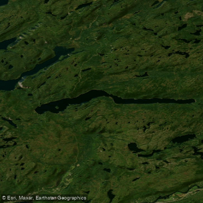
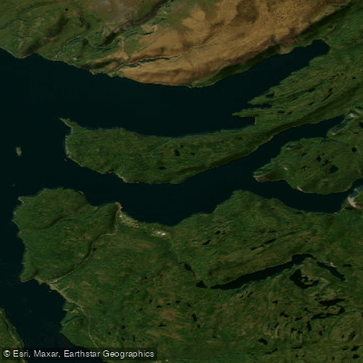
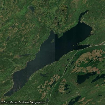
Explore Nl waters
Top paddling waters
No waters available right now.
Popular Cities
Loading popular cities...
Explore near East Arm

Smarter Paddling Starts in the App.
Paddleways gives you everything you need to plan smarter, paddle better, and own every trip from first launch to takeout.