Western Brook Pond
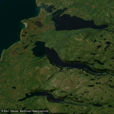
Western Brook Pond
- Boat Ramps
- 0
- Access Points
- 1
- Campsites
- 2
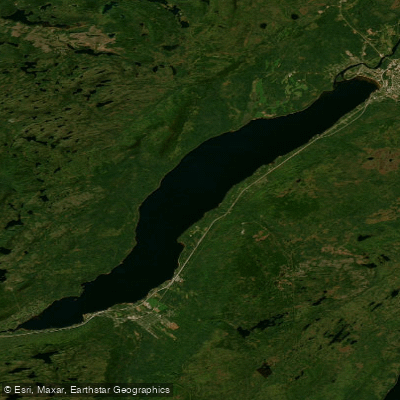
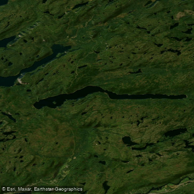
Western Brook Pond is a landlocked freshwater fjord located within Gros Morne National Park on the west coast of Newfoundland, a UNESCO World Heritage Site. The water body stretches 16 kilometres in length, covers a surface area of 23 square kilometres, and reaches a maximum depth of 165 metres (541 feet), with an average depth of 72.5 metres. It sits within the Long Range Mountains, the northernmost section of the Appalachian Mountains, and was carved by glaciers during the last ice age approximately 25,000 to 10,000 years ago.
Paddling is actively discouraged at Western Brook Pond. Parks Canada does not permit independent paddling on the lake, and the primary means of experiencing the water is via guided boat tours operated by BonTours, which run from June to mid-October. Two tour boats — one with a capacity of 70 passengers and the other 90 — cruise the full length of the fjord on a roughly two-hour trip. Tour boat operators underwent special certification to ensure minimal environmental impact on the pristine water body.
Access to the dock requires a 3-kilometre hike from the Western Brook Pond parking lot, located approximately 20 minutes north of Rocky Harbour near Sally's Cove. The trail crosses coastal bogs and low limestone ridges and takes roughly 45 minutes one way. Mobility shuttles are available for visitors with accessibility needs. At the dockside, facilities include a sheltered waiting area, indoor bathrooms, a canteen, dog kennels, and picnic areas.
The fjord's geography changes dramatically along its length. The western end is wide and surrounded by flat, low-lying land, while the eastern portion narrows into a gorge flanked by sheer cliffs rising more than 600 metres. Numerous waterfalls cascade down the cliff faces. The lake is home to Atlantic Salmon, Brook Trout, and Arctic Char, and supports an unusual colony of cliff-nesting gulls. The water is considered extremely pure with very little impact from human activity. In the early 20th century, a rockfall from the surrounding cliffs generated a 30-metre tsunami within the lake, a reminder of the dynamic geological forces still at work in this landscape.
Water access, boat ramps & amenities
Learn how to get on Western Brook Pond. Uncover great paddling access points, boat ramps, and all the facilities you need for an unforgettable day on the water. Some locations shown may border or include private property. Always check property boundaries and applicable regulations before visiting. PaddleWays's Public & Private Land layer can help you plan your access with confidence.
Paddle smarter with real-time insights
Whether you're en route and conditions shift or you're looking for the best spot based on current flows, we enable you to make informed decisions on the fly.







Nl licenses and regulations
No licenses or regulations available for Nl.
Find Places to Paddle

Over 400,000 Places to Paddle
Every user gets free access to launch points, boat ramps, and public property parcels.


Water and weather conditions (10 day forecast)
See the best times to paddle Western Brook Pond and check the forecast before you go.
No forecast data available.
Paddling near Western Brook Pond
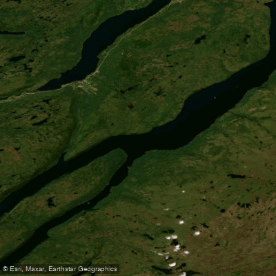
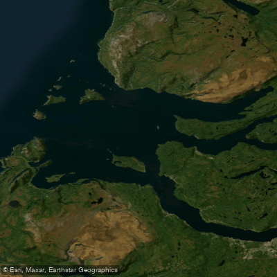
Explore Nl waters
Top paddling waters
No waters available right now.
Popular Cities
Loading popular cities...
Explore near Western Brook Pond

Smarter Paddling Starts in the App.
Paddleways gives you everything you need to plan smarter, paddle better, and own every trip from first launch to takeout.