Northeast Margaree River
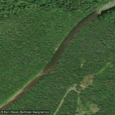
Northeast Margaree River
- Boat Ramps
- 0
- Access Points
- 0
- Campsites
- 0
The Northeast Margaree River originates in the watershed of the Cape Breton Highlands and flows to join the Southwest Margaree at Margaree Forks, forming part of the 120-kilometre Margaree-Lake Ainslie system that drains a watershed of nearly 120,000 hectares before emptying into the Gulf of St. Lawrence at Margaree Harbour. The upper reaches of the Northeast Margaree are characterized by challenging rapids and chutes, making them suitable for intermediate and advanced paddlers. The gravel bars of the upper river provide spawning grounds for Atlantic salmon, and the icy, clear waters of the upper reaches support both Atlantic salmon and trout populations.
A documented route runs from Portree through Margaree Valley, Margaree Centre, and Doyle Bridge to Margaree Forks, with an optional continuation on the main Margaree River to Margaree Harbour. Shuttle services are available through local outfitters, with access points including Ross Bridge and Big Intervale Bridge on the Northeast River. Upper river water levels are noted as not suitable for canoes after mid-June, making spring the preferred window for paddling the upper sections. The remote upper reaches of the Cape Breton Highlands portion involve little to no quick access points and may require off-trail hiking to reach the river, with paddlers encountering class 2+ rapids through that stretch.
The river passes through a landscape of forested floodplains, hardwood ridges, fertile farms, weirs, and villages with Acadian and Scottish heritage. The Margaree River system holds designation as a Canadian Heritage River, recognized in 1998, and is managed in part by the Margaree-Lake Ainslie Canadian Heritage River Society. The river is well known for Atlantic salmon fishing, and the main stem is restricted to fly-fishing only with barbless hooks under Nova Scotia government regulation — paddlers should be aware of active fishing activity, particularly during salmon runs.
Guided multi-day packraft trips covering approximately 40 kilometres are offered by at least one local outfitter, typically running in May and June. Canoe rentals with shuttle arrangements are also available within the river system, with shuttles generally needing to be booked at least 24 hours in advance and departing before mid-morning.
Water access, boat ramps & amenities
Learn how to get on Northeast Margaree River. Uncover great paddling access points, boat ramps, and all the facilities you need for an unforgettable day on the water. Some locations shown may border or include private property. Always check property boundaries and applicable regulations before visiting. PaddleWays's Public & Private Land layer can help you plan your access with confidence.
Paddle smarter with real-time insights
Whether you're en route and conditions shift or you're looking for the best spot based on current flows, we enable you to make informed decisions on the fly.








Find Places to Paddle

Over 400,000 Places to Paddle
Every user gets free access to launch points, boat ramps, and public property parcels.


Water and weather conditions (10 day forecast)
See the best times to paddle Northeast Margaree River and check the forecast before you go.
NORTHEAST MARGAREE RIVER AT MARGAREE VALLEY
Paddling near Northeast Margaree River
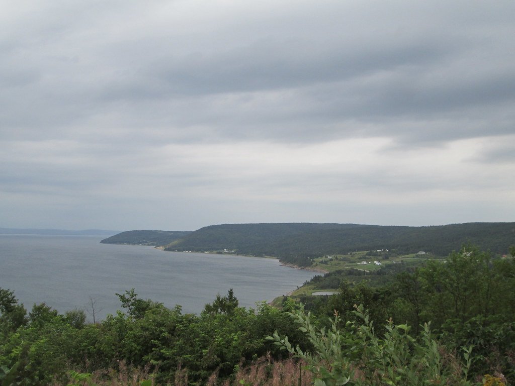
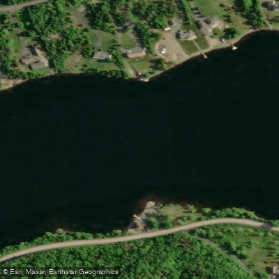
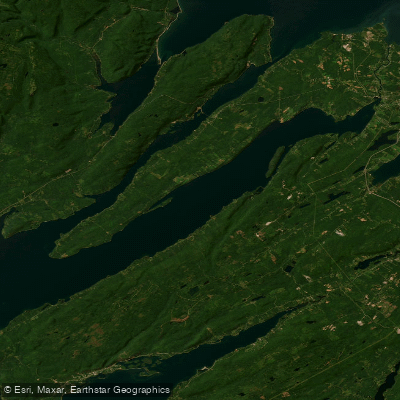
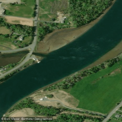
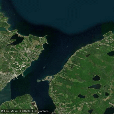
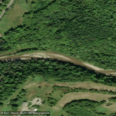
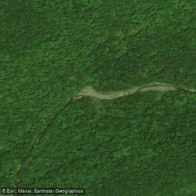
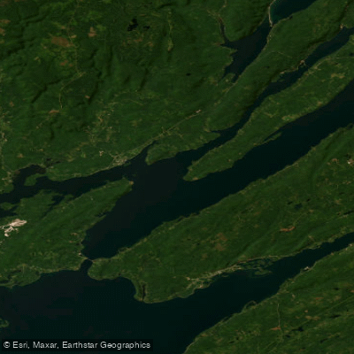
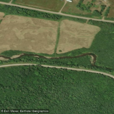
Explore Ns waters
Top paddling waters
No waters available right now.
Popular Cities
Loading popular cities...
Explore near Northeast Margaree River

Smarter Paddling Starts in the App.
Paddleways gives you everything you need to plan smarter, paddle better, and own every trip from first launch to takeout.