St. Andrews Channel
- Saltwater
- Channel
St. Andrews Channel
- Saltwater
- Channel
- Sq. miles
- 50
- Boat Ramps
- 0
- Access Points
- 0
- Campsites
- 0
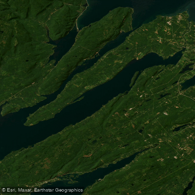
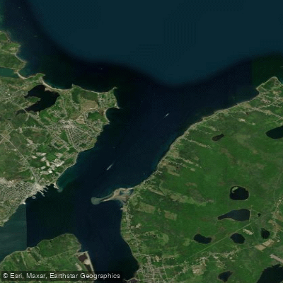
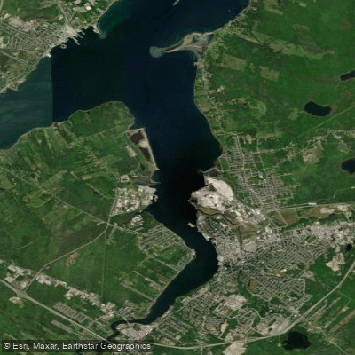
St. Andrews Channel is a major, deep arm of Bras d'Or Lake, a large brackish inland sea on Cape Breton Island. It is one of two long channels formed by the Washabuck Peninsula, with a maximum recorded depth of 287 meters. The channel is part of the Bras d'Or Lake UNESCO Biosphere Reserve, characterized by largely undeveloped shorelines and significant bald eagle populations. The scenery along the channel is a key attraction, with quiet shoreline drives hugging its length, such as along Route 223 beginning near Iona. For paddlers, access may be restricted at the channel's entrance by a highway bridge with limited clearance, which restricts passage to small power craft, presenting a potential obstacle or navigational consideration for taller vessels. The tidal waters of Bras d'Or Lake, which include St. Andrews Channel, experience tidal exchange, though it is restricted at the lake's few connections to the Atlantic Ocean, resulting in brackish water with lower salinity than the open sea. The overall experience is peaceful and scenic. Big Harbour, located within the channel system, offers a good anchorage, while the Head of Baddeck Bay provides a protected and secluded area, suggesting potential launch points or sheltered paddling destinations. The lake's size is substantial, with the broader system spanning over 1,000 square kilometers, so paddlers should plan trips piecemeal and be prepared for potentially long distances and significant fetch that can generate waves in windy conditions.
Water access, boat ramps & amenities
Learn how to get on St. Andrews Channel. Uncover great paddling access points, boat ramps, and all the facilities you need for an unforgettable day on the water. Some locations shown may border or include private property. Always check property boundaries and applicable regulations before visiting. PaddleWays's Public & Private Land layer can help you plan your access with confidence.
Paddle smarter with real-time insights
Whether you're en route and conditions shift or you're looking for the best spot based on current flows, we enable you to make informed decisions on the fly.








Find Places to Paddle

Over 400,000 Places to Paddle
Every user gets free access to launch points, boat ramps, and public property parcels.


Tides, wind & water conditions (10 day forecast)
On open water, wind and tide matter as much as the weather. See the best times to paddle St. Andrews Channel and check the marine forecast before you launch.
Loading tide predictions…
Paddling near St. Andrews Channel
Explore Ns waters
Top paddling waters
No waters available right now.
Popular Cities
Loading popular cities...
Explore near St. Andrews Channel

Smarter Paddling Starts in the App.
Paddleways gives you everything you need to plan smarter, paddle better, and own every trip from first launch to takeout.