Mira River
Mira River
- Boat Ramps
- 0
- Access Points
- 0
- Campsites
- 0
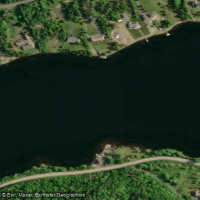
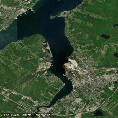
The Mira River is located in eastern Cape Breton County, Nova Scotia, roughly 20 minutes south of Sydney. Despite being called a river, it behaves more like a long, narrow lake for most of its approximately 55 km length, occupying a trench that likely follows an old fault line. Glacial gravels have dammed the lower reaches to create this lake-like character, and the same glacial deposits formed numerous peninsulas along the lower two-thirds of the route. The river flows from a cluster of lakes near Victoria Bridge, passes through the communities of Marion Bridge and Albert Bridge, and ultimately discharges through the narrow tidal cut known as Mira Gut into Mira Bay on the Atlantic coast.
The primary put-in is at Victoria Bridge, where Grand Mira South Road crosses the river near the Richmond County boundary. An alternative starting point is Mira Lake at the headwaters to the northeast. The main take-out is at Mira Bay, though Mira River Provincial Park at Albert Bridge serves as a practical intermediate take-out with a public boat launch. Several road bridges along the route provide additional access options.
Because the river carries essentially no current along most of its length, the route can be paddled in either direction. The one significant exception is Mira Gut, the final tidal narrows where the river cuts through bedrock to reach the ocean — this section has appreciable current and conditions differ markedly from the lake-like stillness upstream. Paddlers should also be aware that the open, elongated shape of the river generates its own wind, and waves of two to three feet can develop within 20 minutes. Staying near the shoreline is advisable.
Camping requires advance planning. No official campsite exists for the first 30 km from Victoria Bridge, and a formerly operating site in that stretch closed in 2002. Beyond the midpoint, cottage properties line much of the shoreline, making landing difficult. Mira River Provincial Park at Albert Bridge is the practical overnight destination, offering 156 campsites in open and wooded settings, a boat launch, swimming area, flush toilets, showers, and other full campground facilities.
Wildlife along the corridor includes bald eagles, loons, great blue herons, and Canada geese. Fish species present include brook trout, striped bass, sea trout, shad, perch, American eel, mackerel, herring, and smelt. The Two Rivers Wildlife Park, situated where the Salmon River meets the Mira, includes a campground with river access, though suitable landing spots become scarce beyond that point due to private property.
Water access, boat ramps & amenities
Learn how to get on Mira River. Uncover great paddling access points, boat ramps, and all the facilities you need for an unforgettable day on the water. Some locations shown may border or include private property. Always check property boundaries and applicable regulations before visiting. PaddleWays's Public & Private Land layer can help you plan your access with confidence.
Paddle smarter with real-time insights
Whether you're en route and conditions shift or you're looking for the best spot based on current flows, we enable you to make informed decisions on the fly.








Find Places to Paddle

Over 400,000 Places to Paddle
Every user gets free access to launch points, boat ramps, and public property parcels.


Water and weather conditions (10 day forecast)
See the best times to paddle Mira River and check the forecast before you go.
No forecast data available.
Paddling near Mira River
Explore Ns waters
Top paddling waters
No waters available right now.
Popular Cities
Loading popular cities...
Explore near Mira River

Smarter Paddling Starts in the App.
Paddleways gives you everything you need to plan smarter, paddle better, and own every trip from first launch to takeout.