Indian Brook
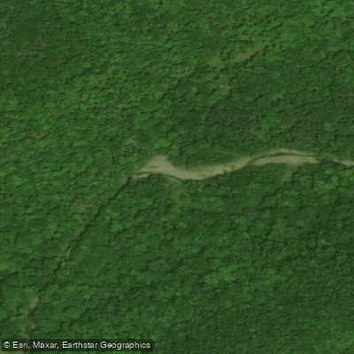
Indian Brook
- Boat Ramps
- 0
- Access Points
- 0
- Campsites
- 0
Indian Brook is located on Cape Breton Island in Victoria County, Nova Scotia, draining from the Cape Breton Highlands and flowing toward the Atlantic. It is widely regarded as one of the best whitewater rivers in Nova Scotia, offering a demanding and largely continuous run through remote terrain.
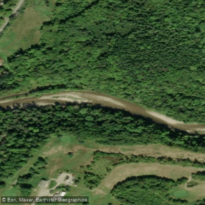
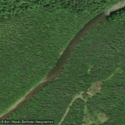
The river can be divided into two distinct sections. The upper 8.5 kilometers, beginning below the Gisborne Flowage, are very low volume and shallow, with only one small slide-like drop and no significant rapids. Paddlers should expect to walk sections of this stretch. From that point, the river drops continuously for the next 17 kilometers without meaningful pools. This lower section is steep and technical, dominated by class II to III whitewater with occasional class IV moves. Large eddies and minor class I rapids provide the only real rest opportunities. After a tighter section of turns, the West Branch of Indian Brook enters from the right, and the character shifts somewhat: the valley and riverbed widen, boulder gardens give way to gravel banks and long continuous wave trains, with larger drops and hydraulics appearing periodically between them.
The East Branch put-in is at the very top of the drainage, and the take-out is at the bottom — there are no intermediate access points, making shuttling straightforward but committing. A water level gauge is located at the bottom of the river, which means any rise in water level from rain or snowmelt will already be underway before it registers, an important consideration for trip planning.
The river's remoteness is a defining characteristic. It has been run only a limited number of times, and strong whitewater rescue skills are considered essential. The continuous gradient means there is little opportunity to regroup after a swim, and water levels can change rapidly with precipitation or snowmelt. Paddlers should be fully self-sufficient.
Near the mouth of Indian Brook, the Cabot Shores property offers access to Church Pond and a lagoon connecting to the Atlantic, providing a calmer paddling option in the area. A documented route also runs upstream from the Indian Brook settlement to Great Falls and back, as listed in Canoe Kayak Routes of Nova Scotia.
Water access, boat ramps & amenities
Learn how to get on Indian Brook. Uncover great paddling access points, boat ramps, and all the facilities you need for an unforgettable day on the water. Some locations shown may border or include private property. Always check property boundaries and applicable regulations before visiting. PaddleWays's Public & Private Land layer can help you plan your access with confidence.
Paddle smarter with real-time insights
Whether you're en route and conditions shift or you're looking for the best spot based on current flows, we enable you to make informed decisions on the fly.








Find Places to Paddle

Over 400,000 Places to Paddle
Every user gets free access to launch points, boat ramps, and public property parcels.


Water and weather conditions (10 day forecast)
See the best times to paddle Indian Brook and check the forecast before you go.
No forecast data available.
Paddling near Indian Brook
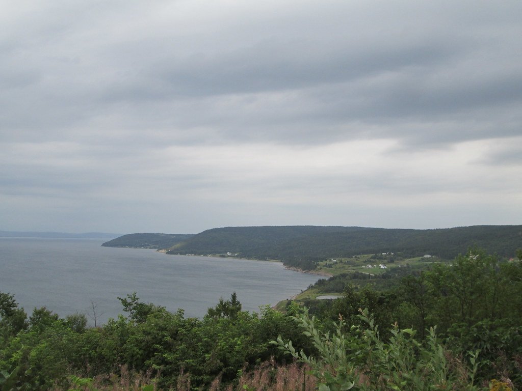
Explore Ns waters
Top paddling waters
No waters available right now.
Popular Cities
Loading popular cities...
Explore near Indian Brook

Smarter Paddling Starts in the App.
Paddleways gives you everything you need to plan smarter, paddle better, and own every trip from first launch to takeout.