Pennant River
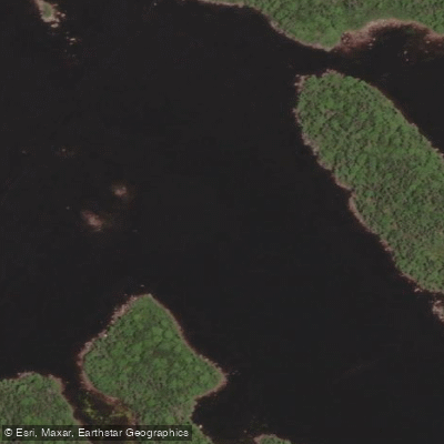
Pennant River
- Boat Ramps
- 0
- Access Points
- 0
- Campsites
- 0
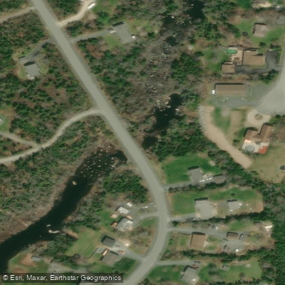
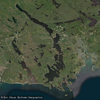
The Pennant River canoe route is located in the Halifax Regional Municipality of Nova Scotia, situated between Williamswood and Sambro. The route is sometimes described as a suburban wilderness paddle, running through a series of interconnected lakes from Run Lake to the ocean at Pennant Cove. Canoe Kayak Nova Scotia has produced a dedicated paddling map for the route, designed for tabloid-size print with high visual clarity for use on the water.
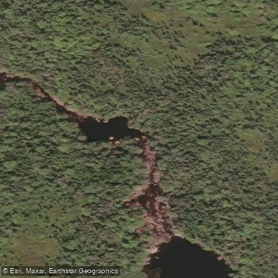
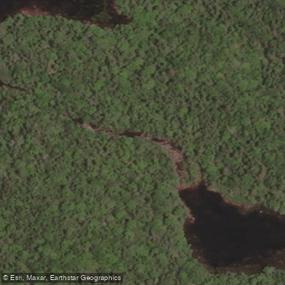
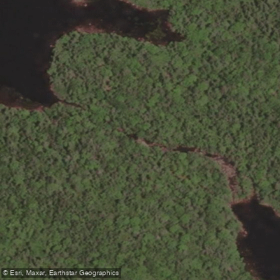
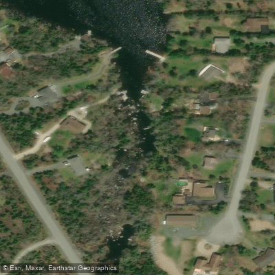
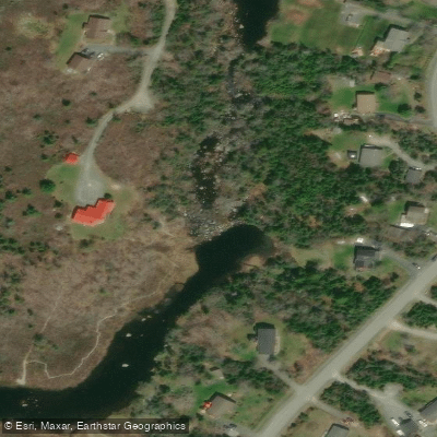
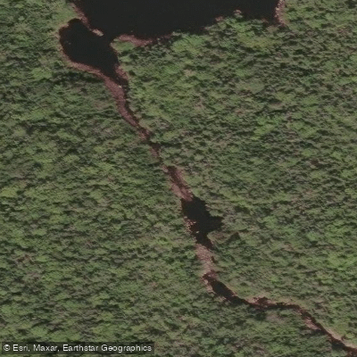
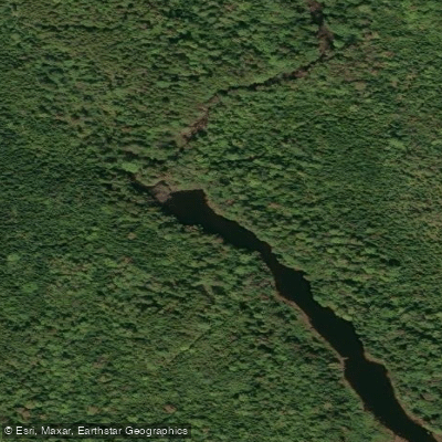
A public access point is available off Highway 306 at the easternmost tip of Grand Lake, which serves as a practical put-in for paddlers exploring the middle section of the route. The lakes along the route include Grand Lake and Ragged Lake, connected by a series of portages. There is a longer portage linking Grand Lake directly to Ragged Lake, as well as two shorter portages that more closely follow the Pennant River itself in the section known as the Grand Lake Run. Paddlers should be aware that portage trails can become overgrown and may be impassable at times; the upper portage on the Grand Lake Run section has been reported as quite overgrown. Canoe Kayak Nova Scotia maintains a portage committee that works under a ten-year agreement with NS Environment and Climate Change for portage and campsite maintenance in selected wilderness areas, though conditions can still vary.
The Pennant River Conservation Lands along the route include scenic swimming holes, fishing pools, and hiking trails that have been used by generations of locals. The river is popular for smallmouth bass fishing, with Grand Lake also known for brook trout and striped bass. The area supports wildlife including American Mink and fish species such as Gaspereau. Paddlers can expect rugged, natural surroundings throughout the route.
Water access, boat ramps & amenities
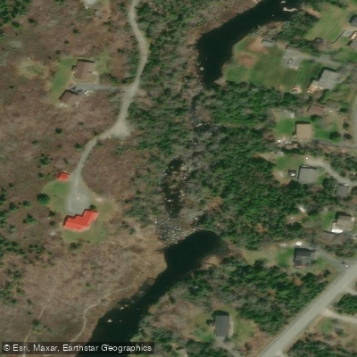
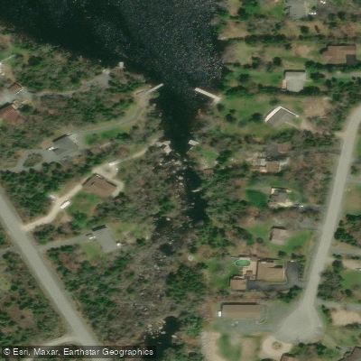
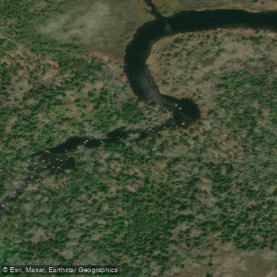
Learn how to get on Pennant River. Uncover great paddling access points, boat ramps, and all the facilities you need for an unforgettable day on the water. Some locations shown may border or include private property. Always check property boundaries and applicable regulations before visiting. PaddleWays's Public & Private Land layer can help you plan your access with confidence.
Paddle smarter with real-time insights
Whether you're en route and conditions shift or you're looking for the best spot based on current flows, we enable you to make informed decisions on the fly.








Find Places to Paddle

Over 400,000 Places to Paddle
Every user gets free access to launch points, boat ramps, and public property parcels.


Water and weather conditions (10 day forecast)
See the best times to paddle Pennant River and check the forecast before you go.
No forecast data available.
Paddling near Pennant River
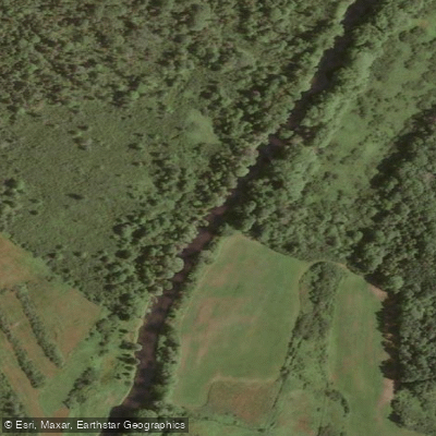
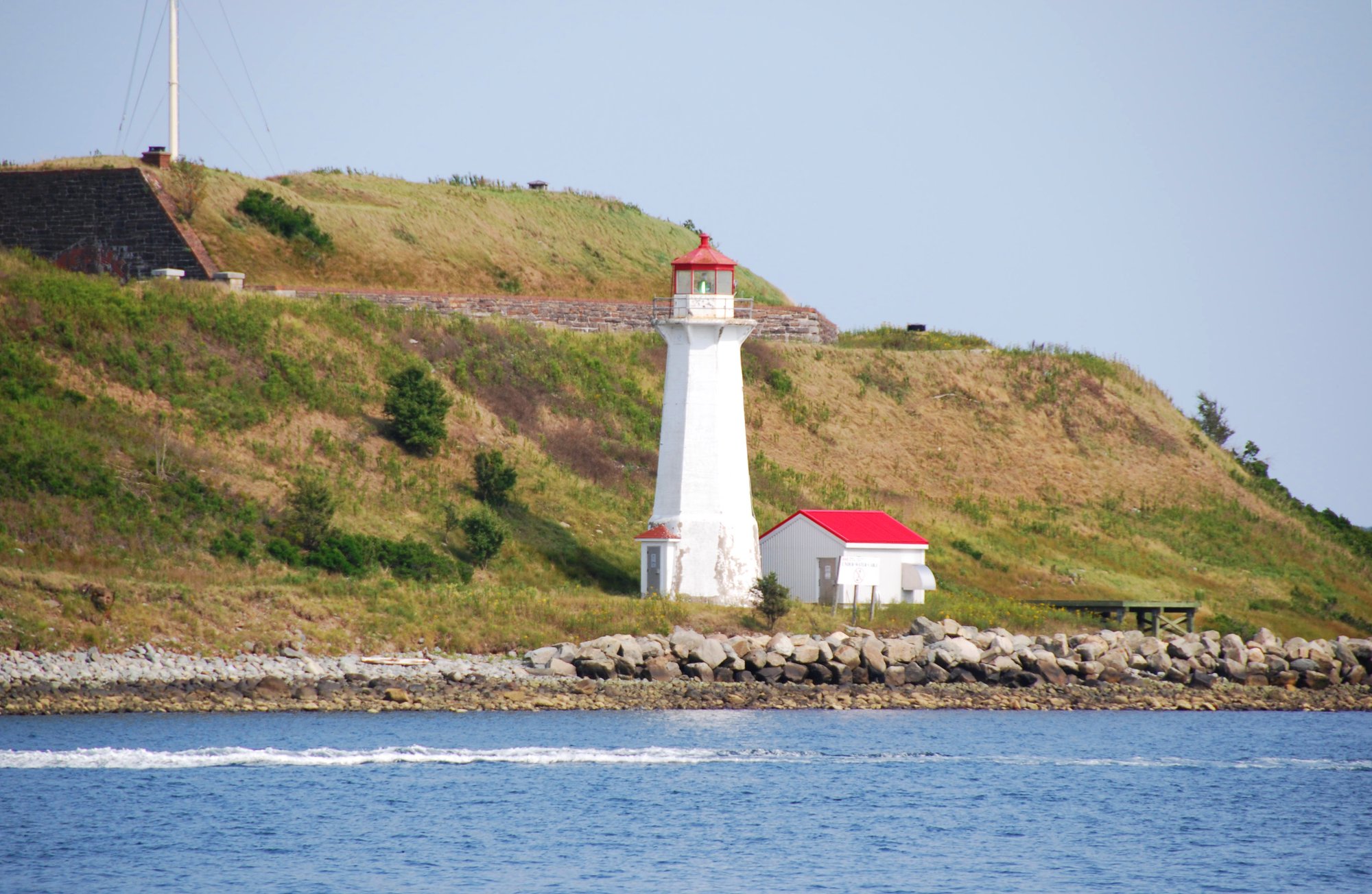
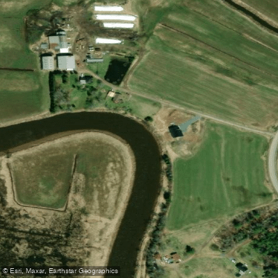
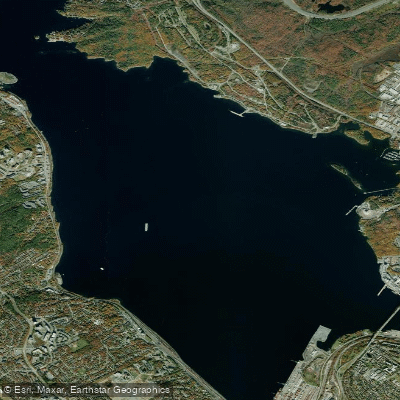
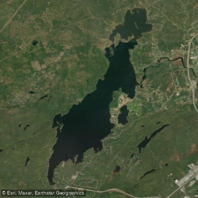
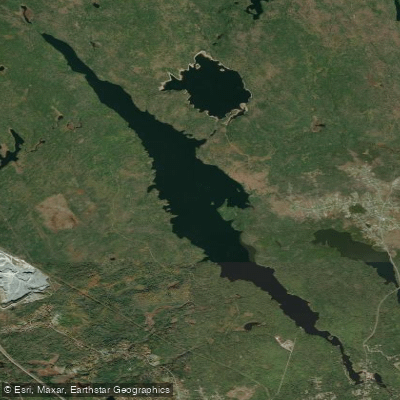
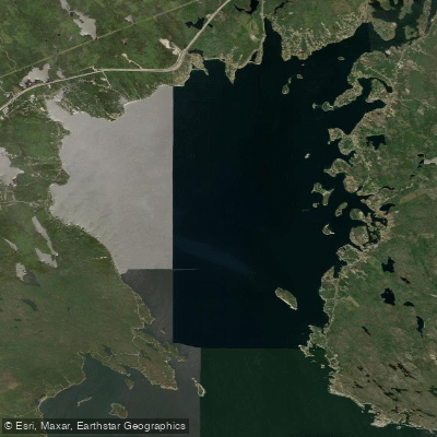
Explore Ns waters
Top paddling waters
No waters available right now.
Popular Cities
Loading popular cities...
Explore near Pennant River

Smarter Paddling Starts in the App.
Paddleways gives you everything you need to plan smarter, paddle better, and own every trip from first launch to takeout.