Shubenacadie River
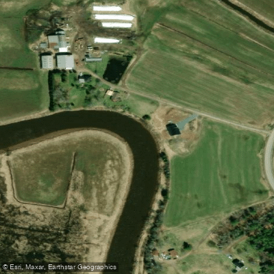
Shubenacadie River
- Boat Ramps
- 0
- Access Points
- 0
- Campsites
- 0
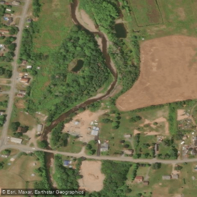
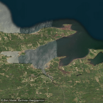
The Shubenacadie River is a 72-kilometre waterway in Nova Scotia that forms the northern portion of the historic Shubenacadie Canal Waterway, which stretches 114 kilometres from Halifax Harbour to the Bay of Fundy. The river section begins at Sandy Cove, just past Oakfield Provincial Park, where the route opens into approximately 40 kilometres of meandering river paddling heading north toward Maitland and the Bay of Fundy. The river is generally suitable for paddling from April through October.
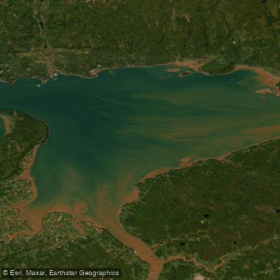
The defining characteristic of this river is its tidal influence. The lower 30 kilometres experience a tidal bore twice daily from incoming Bay of Fundy tides, and these bores can exceed one metre in height. This makes tidal awareness absolutely critical for trip planning. When the tide is coming in — roughly three to four hours of every twelve-hour cycle — conditions are appropriate only for highly skilled paddlers. Beginners can manage the river when the tide is going out, but must know precisely when the bore will arrive. During summer months, some sections may require portaging due to low water levels.
Several public access points exist along the river. In Lantz, a floating dock at 71 Green Road serves as a popular put-in, approximately 7.5 kilometres upstream from Wickwire Station and 23.5 kilometres from Shubie Park. Wickwire Station, located on Highway 2 in Milford at the entrance to the National Gypsum Mine, offers two accessible outhouses, a river overlook, picnic areas, and a floating dock with an EZ Launch system suitable for paddlers with mobility challenges. From Wickwire Station, paddlers can go 7.5 kilometres upstream to Brickyard Park or approximately 16 kilometres downstream toward Shubie Park, where tidal waters will be encountered somewhere along that stretch. At the northern end, the put-in near Maitland is used by those paddling the tidal bore section, with the Maitland Museum area serving as a common launch point.
The river carries significant turbidity — the water is very cloudy in turbulent sections — and put-in and take-out points can be muddy. Tidal bore rafting operators share the water in the lower reaches, and the area around Anthony's Nose requires particular vigilance due to boat traffic. Remains of historic canal locks 8 and 9 can be seen in Elmsdale and Lantz, reflecting the river's role in 19th-century commerce.
Water access, boat ramps & amenities
Learn how to get on Shubenacadie River. Uncover great paddling access points, boat ramps, and all the facilities you need for an unforgettable day on the water. Some locations shown may border or include private property. Always check property boundaries and applicable regulations before visiting. PaddleWays's Public & Private Land layer can help you plan your access with confidence.
Paddle smarter with real-time insights
Whether you're en route and conditions shift or you're looking for the best spot based on current flows, we enable you to make informed decisions on the fly.








Find Places to Paddle

Over 400,000 Places to Paddle
Every user gets free access to launch points, boat ramps, and public property parcels.


Water and weather conditions (10 day forecast)
See the best times to paddle Shubenacadie River and check the forecast before you go.
No forecast data available.
Paddling near Shubenacadie River
Explore Ns waters
Top paddling waters
No waters available right now.
Popular Cities
Loading popular cities...
Explore near Shubenacadie River

Smarter Paddling Starts in the App.
Paddleways gives you everything you need to plan smarter, paddle better, and own every trip from first launch to takeout.