Musquodoboit River
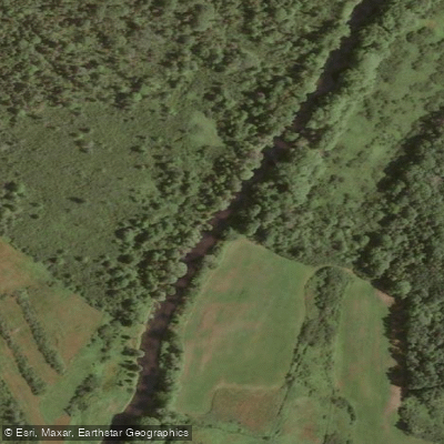
Musquodoboit River
- Boat Ramps
- 0
- Access Points
- 2
- Campsites
- 0
The Musquodoboit River in Nova Scotia offers roughly 80 kilometres of paddling, running from Upper Musquodoboit down to Musquodoboit Harbour, approximately 45 minutes from Halifax. The river is generally a gentle Class 1 paddle along most of its length, making it accessible to beginners and families, though conditions change significantly in the lower reaches.
The only notable rapids are found below Meagher's Grant. A set of rapids appears about half a mile below Crawford's Bridge, and more serious whitewater begins approximately 5 kilometres downstream, just above Musquodoboit Harbour after passing Bayer Lake. This lower section includes hard rapids on the turn below the lake, followed by Blue Falls and Jam Falls in quick succession. In low water, these become rock gardens that are generally unrunnable and require lining or portaging. The section under the Highway 7 bridge down to the harbour itself is also not suitable for paddling. During periods of heavy rainfall, water levels rise considerably and some rapids can reach Class 3 or higher.
There are numerous access points, including 12 road bridges along the route. Two provincial parks provide the most convenient put-in and take-out options: Musquodoboit Valley Provincial Park (a day-use picnic park on NS-224 in Middle Musquodoboit) and Elderbank Waterway Provincial Park (on NS-357), both open from approximately mid-May to mid-October and offering parking, toilets, and picnic areas. The span between these two parks covers about 20 kilometres of river. Crawford's Bridge, accessible off Highway 357, is another practical access point. Note that the area across from Musquodoboit Valley Memorial Hospital is owned by Nova Scotia Power and parking is not permitted there.
A typical moving speed on the river is around 4.5 kilometres per hour. A full run of the paddleable length takes two to three days. Canoe and kayak rentals, shuttle service, and guided trip planning are available through Musquodoboit Valley Outfitters, based in Meagher's Grant.
Near Crawford's Bridge, paddlers can access the Musquodoboit Trailway, which includes a 3.6-kilometre hike to Gibraltar Rock, offering elevated views of the river. The Nature Conservancy of Canada has protected significant land along the river corridor, and Leave No Trace practices are strongly encouraged throughout.
Water access, boat ramps & amenities
Learn how to get on Musquodoboit River. Uncover great paddling access points, boat ramps, and all the facilities you need for an unforgettable day on the water. Some locations shown may border or include private property. Always check property boundaries and applicable regulations before visiting. PaddleWays's Public & Private Land layer can help you plan your access with confidence.
Paddle smarter with real-time insights
Whether you're en route and conditions shift or you're looking for the best spot based on current flows, we enable you to make informed decisions on the fly.








Find Places to Paddle

Over 400,000 Places to Paddle
Every user gets free access to launch points, boat ramps, and public property parcels.


Water and weather conditions (10 day forecast)
See the best times to paddle Musquodoboit River and check the forecast before you go.
No forecast data available.
Paddling near Musquodoboit River
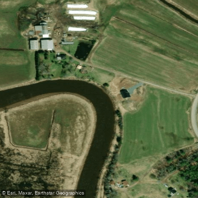
Explore Ns waters
Top paddling waters
No waters available right now.
Popular Cities
Loading popular cities...
Explore near Musquodoboit River

Smarter Paddling Starts in the App.
Paddleways gives you everything you need to plan smarter, paddle better, and own every trip from first launch to takeout.