Dease Strait
- Saltwater
- Strait
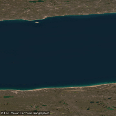
Dease Strait
- Saltwater
- Strait
- Sq. miles
- 2,469
- Boat Ramps
- 0
- Access Points
- 0
- Campsites
- 0
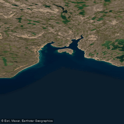
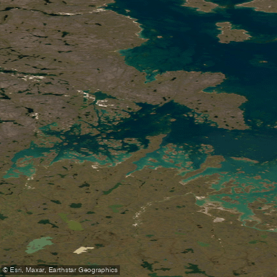
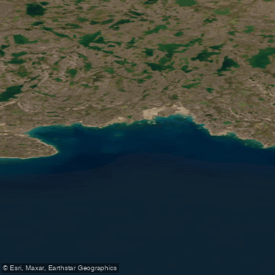
Dease Strait is a significant marine channel forming part of the classic Northwest Passage, separating the south coast of Victoria Island from the mainland of Nunavut. Its western end leads to Cambridge Bay, a major community and the administrative hub for the Kitikmeot region. This strait presents a formidable and remote paddling environment characterized by extreme Arctic conditions. For most of the summer, the strait is choked with pack ice, and its navigability is heavily dependent on wind direction and strength, which drives the ice pack back and forth. Even into the early summer, the strait can remain closed with solid ice, requiring paddlers to wait for break-up and favorable winds. The primary access point for paddlers is Cambridge Bay, which offers a waterfront area and serves as the logistical center for the region. The area is exposed to the Arctic Ocean, and the coastline along the strait features epic views of ice, water, and distant shores. Wildlife sightings from the water or shore may include Ringed Seals on the ice, rafts of Common and King Eiders, various loon species including Yellow-billed Loons, and Tundra Swans. The surrounding landscape is part of the ancient Canadian Shield, with lichen-covered granite rocks. The human history of the region is profound, with 4,000 years of Inuit habitation; the area is rich in archaeological sites. Paddling here is only feasible during a brief window in high summer when ice conditions permit, and even then, it is an expeditionary undertaking suitable only for highly experienced, self-sufficient teams prepared for severe cold, shifting ice, and rapidly changing weather. There is significant vessel traffic, as Cambridge Bay is the largest stop for passenger and research vessels traversing the Northwest Passage, requiring careful awareness of large ships.
Water access, boat ramps & amenities
Learn how to get on Dease Strait. Uncover great paddling access points, boat ramps, and all the facilities you need for an unforgettable day on the water. Some locations shown may border or include private property. Always check property boundaries and applicable regulations before visiting. PaddleWays's Public & Private Land layer can help you plan your access with confidence.
Paddle smarter with real-time insights
Whether you're en route and conditions shift or you're looking for the best spot based on current flows, we enable you to make informed decisions on the fly.








Find Places to Paddle

Over 400,000 Places to Paddle
Every user gets free access to launch points, boat ramps, and public property parcels.


Tides, wind & water conditions (10 day forecast)
On open water, wind and tide matter as much as the weather. See the best times to paddle Dease Strait and check the marine forecast before you launch.
Loading tide predictions…
Explore Nu waters
Top paddling waters
No waters available right now.
Popular Cities
Loading popular cities...
Explore near Dease Strait

Smarter Paddling Starts in the App.
Paddleways gives you everything you need to plan smarter, paddle better, and own every trip from first launch to takeout.