Oxford Bay
- Saltwater
- Bay
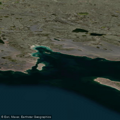
Oxford Bay
- Saltwater
- Bay
- Sq. miles
- 1.5
- Boat Ramps
- 0
- Access Points
- 0
- Campsites
- 0
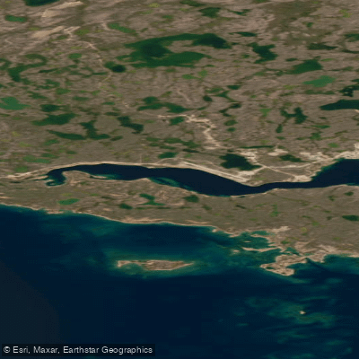
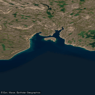
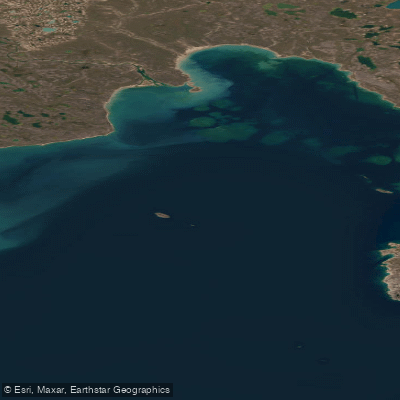
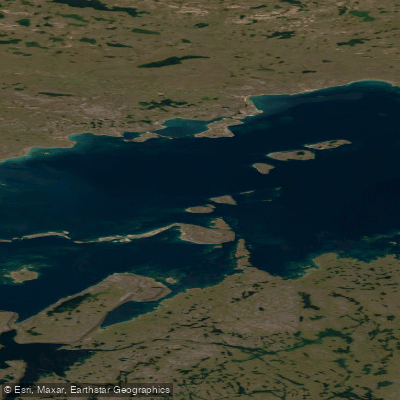
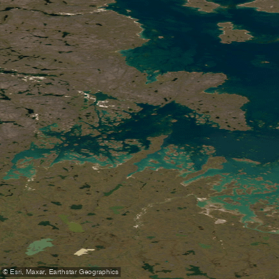
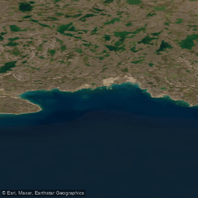
Oxford Bay is a coastal bay on the southern coast of Victoria Island in Nunavut, Canada. This is a remote, high-Arctic marine environment. The bay's coastline features significant historical and archaeological sites, including the extensive Iqaluktuuq caribou drive system, which incorporates over 1500 inuksuit and extends for more than 3 km, and a cluster of large Middle Dorset communal structures. These features indicate the area's long history as a caribou staging area during fall migrations, where animals concentrated while waiting for sea ice to form. The region's geography includes constricted areas and channels that concentrate wildlife movement. For paddlers, the primary considerations are the extreme remoteness and the Arctic climate, which dictates a very short operational season limited by ice formation. The bay is exposed to the open waters of the Queen Maud Gulf, leading to significant fetch and potential for rough conditions. Navigational hazards include foul ground and specific shoals, such as one with a charted depth of 3.4 meters located southeast of Tikigayok Point. There are no indications of established launches, take-outs, or facilities for paddlers; any expedition here would require complete self-sufficiency, advanced logistical planning for access, and expertise in cold-water, expedition-style paddling.
Water access, boat ramps & amenities
Learn how to get on Oxford Bay. Uncover great paddling access points, boat ramps, and all the facilities you need for an unforgettable day on the water. Some locations shown may border or include private property. Always check property boundaries and applicable regulations before visiting. PaddleWays's Public & Private Land layer can help you plan your access with confidence.
Paddle smarter with real-time insights
Whether you're en route and conditions shift or you're looking for the best spot based on current flows, we enable you to make informed decisions on the fly.








Find Places to Paddle

Over 400,000 Places to Paddle
Every user gets free access to launch points, boat ramps, and public property parcels.


Tides, wind & water conditions (10 day forecast)
On open water, wind and tide matter as much as the weather. See the best times to paddle Oxford Bay and check the marine forecast before you launch.
Loading tide predictions…
Explore Nu waters
Top paddling waters
No waters available right now.
Popular Cities
Loading popular cities...
Explore near Oxford Bay

Smarter Paddling Starts in the App.
Paddleways gives you everything you need to plan smarter, paddle better, and own every trip from first launch to takeout.