Wellington Bay
- Saltwater
- Bay
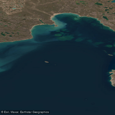
Wellington Bay
- Saltwater
- Bay
- Sq. miles
- 287
- Boat Ramps
- 0
- Access Points
- 0
- Campsites
- 0
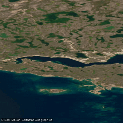
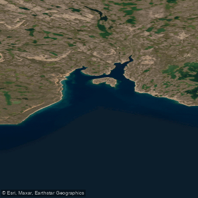
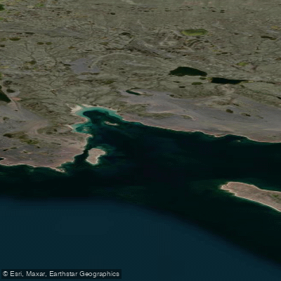
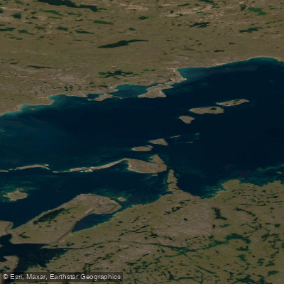
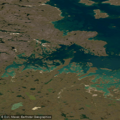
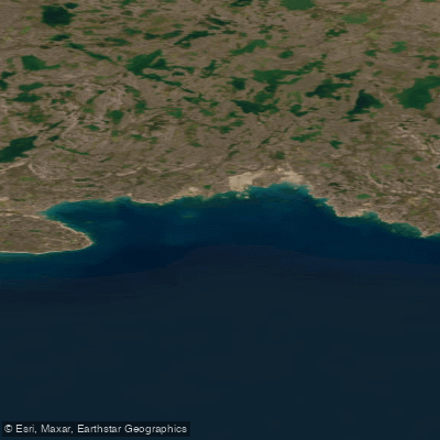
Wellington Bay is a large, open coastal bay on the south coast of Victoria Island in Nunavut, forming part of the Coronation Gulf. It is a remote, high-Arctic marine environment characterized by extensive ice cover that persists well into July. The bay is part of a multi-week, advanced canoe route that begins inland and drops to sea level at Wellington Bay. The primary access point for paddlers is the mouth of the Surrey River, where the river flow meets the bay. The entrance to Wellington Bay is very shallow, with sand shoals prevalent near the shores, especially at the river mouth. Beaches are sandy but strewn with some boulders. Navigation on the bay can be extremely difficult due to persistent fog and ice, making a GPS unit strongly recommended for any crossing. The bay represents a significant ocean crossing within the longer route, and paddlers have reported being far out on the water surrounded by ice and fog, indicating high exposure and potential for disorientation. The water is deep in the centre of the bay but becomes shallow near the shores. The area is entirely uninhabited with no cell coverage, necessitating a satellite communication device. The region is rich in Inuit archaeological sites, including tent rings, stone caches, kayak stands, fox traps, and Inukshuit on eskers and points of land. Wildlife sightings include abundant muskoxen, peregrine falcons, rough-legged hawks, tundra swans, sandhill cranes, and common loons. The best season for paddling is very narrow, constrained by ice conditions, typically beginning in late July when temperatures range from 3 to 11 degrees Celsius and 24-hour daylight prevails.
Water access, boat ramps & amenities
Learn how to get on Wellington Bay. Uncover great paddling access points, boat ramps, and all the facilities you need for an unforgettable day on the water. Some locations shown may border or include private property. Always check property boundaries and applicable regulations before visiting. PaddleWays's Public & Private Land layer can help you plan your access with confidence.
Paddle smarter with real-time insights
Whether you're en route and conditions shift or you're looking for the best spot based on current flows, we enable you to make informed decisions on the fly.








Find Places to Paddle

Over 400,000 Places to Paddle
Every user gets free access to launch points, boat ramps, and public property parcels.


Tides, wind & water conditions (10 day forecast)
On open water, wind and tide matter as much as the weather. See the best times to paddle Wellington Bay and check the marine forecast before you launch.
Loading tide predictions…
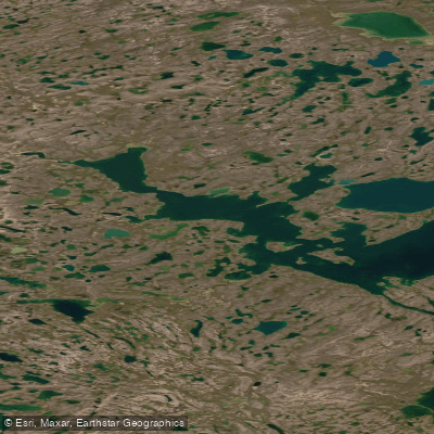
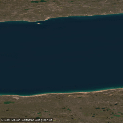
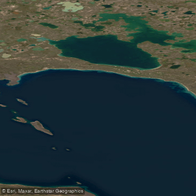
Explore Nu waters
Top paddling waters
No waters available right now.
Popular Cities
Loading popular cities...
Explore near Wellington Bay

Smarter Paddling Starts in the App.
Paddleways gives you everything you need to plan smarter, paddle better, and own every trip from first launch to takeout.