Ekalluk River
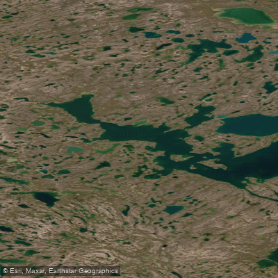
Ekalluk River
- Boat Ramps
- 0
- Access Points
- 0
- Campsites
- 0
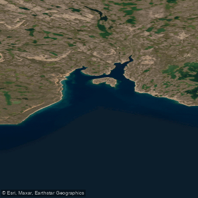
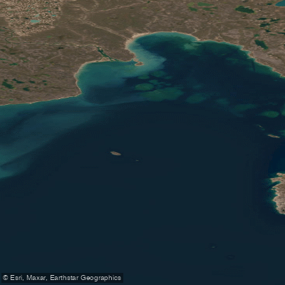
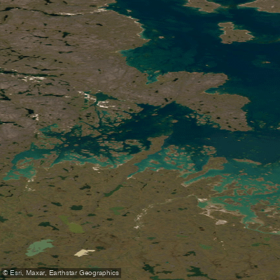
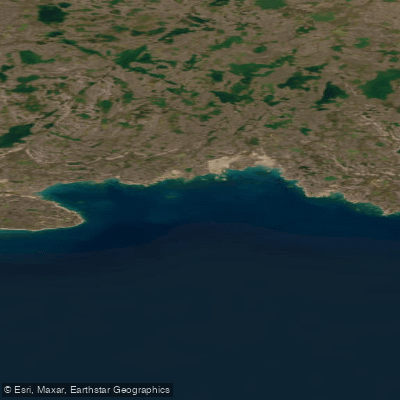
The Ekalluk River, also spelled Iqaluktuuq or Ekaluktuuq — meaning "place of big fish" — originates from Ferguson Lake and flows to empty into the Arctic Ocean at Wellington Bay on Victoria Island, Nunavut. The river is accessible by floatplane from Cambridge Bay, approximately 30 minutes by air. The surrounding landscape is well above the treeline, situated in the Kitikmeot region of Canada's Central Arctic, and the camp established near the river estuary offers views extending toward the Northwest Passage.
The river is medium-sized in character, featuring many rapids, runs, and pools along its length. The stretch between Ferguson Lake and the estuary constitutes the primary fishable corridor. The terrain is open tundra, and the waters are described as clear and unpolluted, consistent with the remote Arctic environment.
The Ekalluk is most notable as the principal migration route for Arctic char moving between the Arctic Ocean and inland spawning grounds in and around Ferguson Lake. The run is documented by the Canadian Department of Fisheries and Oceans at well over 80,000 fish annually. Fish begin entering the river from the ocean in mid-August, with the return migration spanning roughly two to three weeks before sea temperatures drop. Ice-out typically occurs around July 1, at which point fish move seaward for approximately six weeks before returning. The river has been used as a fishing location for an estimated 4,000 years, and local Inuit communities continue to net returning char as they enter the lake, with a regulated harvest of approximately 8% of the run.
A sport fishing camp — Lyall's Camp Ekaluk — has operated on the river since 2001, situated on a bluff overlooking the estuary. Facilities are basic, consisting of small sleeping huts accommodating up to 12 guests, a mess hall and kitchen tent, a hot shower, and outhouse facilities. The camp operates two one-week sessions per year during the August return migration. Guests on the right bank are within walking distance of fishing beats between Ferguson Lake and the estuary.
A canoe route incorporating the Ekalluk River also connects Banning Lake, the Surrey River and Lake, Wellington Bay, Ferguson Lake, and the Greiner River, indicating the river forms part of a broader paddling corridor through Victoria Island.
Water access, boat ramps & amenities
Learn how to get on Ekalluk River. Uncover great paddling access points, boat ramps, and all the facilities you need for an unforgettable day on the water. Some locations shown may border or include private property. Always check property boundaries and applicable regulations before visiting. PaddleWays's Public & Private Land layer can help you plan your access with confidence.
Paddle smarter with real-time insights
Whether you're en route and conditions shift or you're looking for the best spot based on current flows, we enable you to make informed decisions on the fly.








Find Places to Paddle

Over 400,000 Places to Paddle
Every user gets free access to launch points, boat ramps, and public property parcels.


Water and weather conditions (10 day forecast)
See the best times to paddle Ekalluk River and check the forecast before you go.
No forecast data available.
Explore Nu waters
Top paddling waters
No waters available right now.
Popular Cities
Loading popular cities...
Explore near Ekalluk River

Smarter Paddling Starts in the App.
Paddleways gives you everything you need to plan smarter, paddle better, and own every trip from first launch to takeout.