Labyrinth Bay
- Saltwater
- Bay
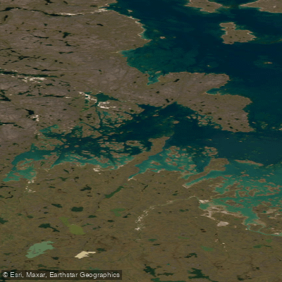
Labyrinth Bay
- Saltwater
- Bay
- Sq. miles
- 16
- Boat Ramps
- 0
- Access Points
- 0
- Campsites
- 0
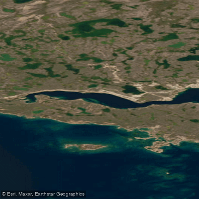
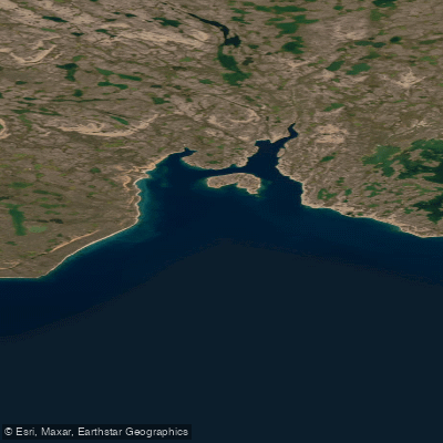
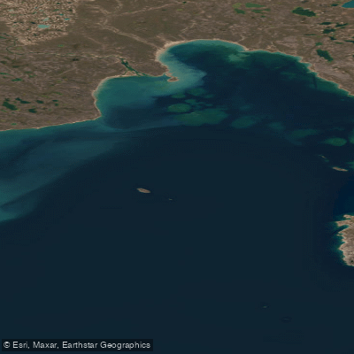
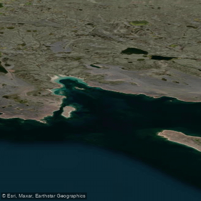
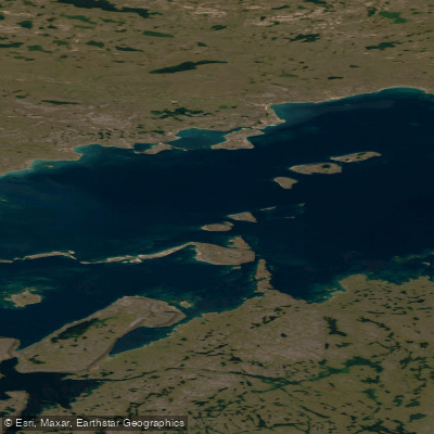
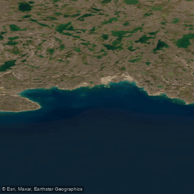
Labyrinth Bay is an Arctic waterway located in the Kitikmeot Region of Nunavut, Canada, within the southwestern portion of Queen Maud Gulf. It is an uninhabited, remote coastal bay that opens into the Arctic Ocean. The bay's defining geographical characteristic is that it is dotted with numerous islands. To the south of the bay lies a range of rocky hills. The bay's shoreline forms part of the boundary for a large Migratory Bird Sanctuary, indicating the area's ecological significance for waterfowl such as brant and snow geese, which use the coastal islands. The bay is situated near Dease Point and Cape Roxborough, with its northern entrance described as a bluff. The surrounding sector, including the adjacent Foggy Bay, is noted for being full of islets and rocks, suggesting a complex and potentially hazardous coastline for navigation. This area represents a true wilderness paddling destination on the historic Northwest Passage route, accessible only to experienced expedition kayakers undertaking multi-day, open-water journeys. One documented expedition involved a kayaker portaging across a narrow neck of land to begin paddling from Labyrinth Bay on Queen Maud Gulf. The environment is exposed, with no settlements, facilities, or amenities for paddlers. Paddlers must be entirely self-sufficient, prepared for cold Arctic water temperatures year-round, and aware of the sanctuary regulations that protect the abundant birdlife. The experience is defined by navigating a maze-like landscape of islands and rocks against a backdrop of low rocky hills, offering a profound sense of isolation and raw Arctic coastal scenery.
Water access, boat ramps & amenities
Learn how to get on Labyrinth Bay. Uncover great paddling access points, boat ramps, and all the facilities you need for an unforgettable day on the water. Some locations shown may border or include private property. Always check property boundaries and applicable regulations before visiting. PaddleWays's Public & Private Land layer can help you plan your access with confidence.
Paddle smarter with real-time insights
Whether you're en route and conditions shift or you're looking for the best spot based on current flows, we enable you to make informed decisions on the fly.








Find Places to Paddle

Over 400,000 Places to Paddle
Every user gets free access to launch points, boat ramps, and public property parcels.


Tides, wind & water conditions (10 day forecast)
On open water, wind and tide matter as much as the weather. See the best times to paddle Labyrinth Bay and check the marine forecast before you launch.
Loading tide predictions…
Explore Nu waters
Top paddling waters
No waters available right now.
Popular Cities
Loading popular cities...
Explore near Labyrinth Bay

Smarter Paddling Starts in the App.
Paddleways gives you everything you need to plan smarter, paddle better, and own every trip from first launch to takeout.