Desbarats Basin
- Saltwater
- Bay

Desbarats Basin
- Saltwater
- Bay
- Sq. miles
- 852
- Boat Ramps
- 0
- Access Points
- 0
- Campsites
- 0
Desbarats Basin is a deep, open-water bay located at the east end of Desbarats Strait in the Canadian Arctic Archipelago. It extends southeast along the east side of Cameron Island, with depths exceeding 600 meters. This is a remote, high-Arctic marine environment in Nunavut. The basin's connection to Desbarats Strait suggests exposure to the open waters of the Arctic Ocean, resulting in significant fetch for wind-driven waves. Paddlers must anticipate strong, cold winds and the potential for sudden, severe weather changes typical of the region. The extreme depth indicates no shallow hazards within the basin itself, but the surrounding coastline of Cameron Island and the adjacent strait would be the primary areas for potential landings. There is no information on specific launch sites, amenities, or established routes. Paddling here is an expeditionary undertaking suitable only for highly experienced, self-sufficient teams equipped for remote Arctic travel, with all necessary safety, navigation, and survival gear. The area is ice-covered for much of the year, limiting any practical paddling season to a brief window in the high summer when sea ice has retreated.
Water access, boat ramps & amenities
Learn how to get on Desbarats Basin. Uncover great paddling access points, boat ramps, and all the facilities you need for an unforgettable day on the water. Some locations shown may border or include private property. Always check property boundaries and applicable regulations before visiting. PaddleWays's Public & Private Land layer can help you plan your access with confidence.
Paddle smarter with real-time insights
Whether you're en route and conditions shift or you're looking for the best spot based on current flows, we enable you to make informed decisions on the fly.








Find Places to Paddle

Over 400,000 Places to Paddle
Every user gets free access to launch points, boat ramps, and public property parcels.


Tides, wind & water conditions (10 day forecast)
On open water, wind and tide matter as much as the weather. See the best times to paddle Desbarats Basin and check the marine forecast before you launch.
Loading tide predictions…
Paddling near Desbarats Basin
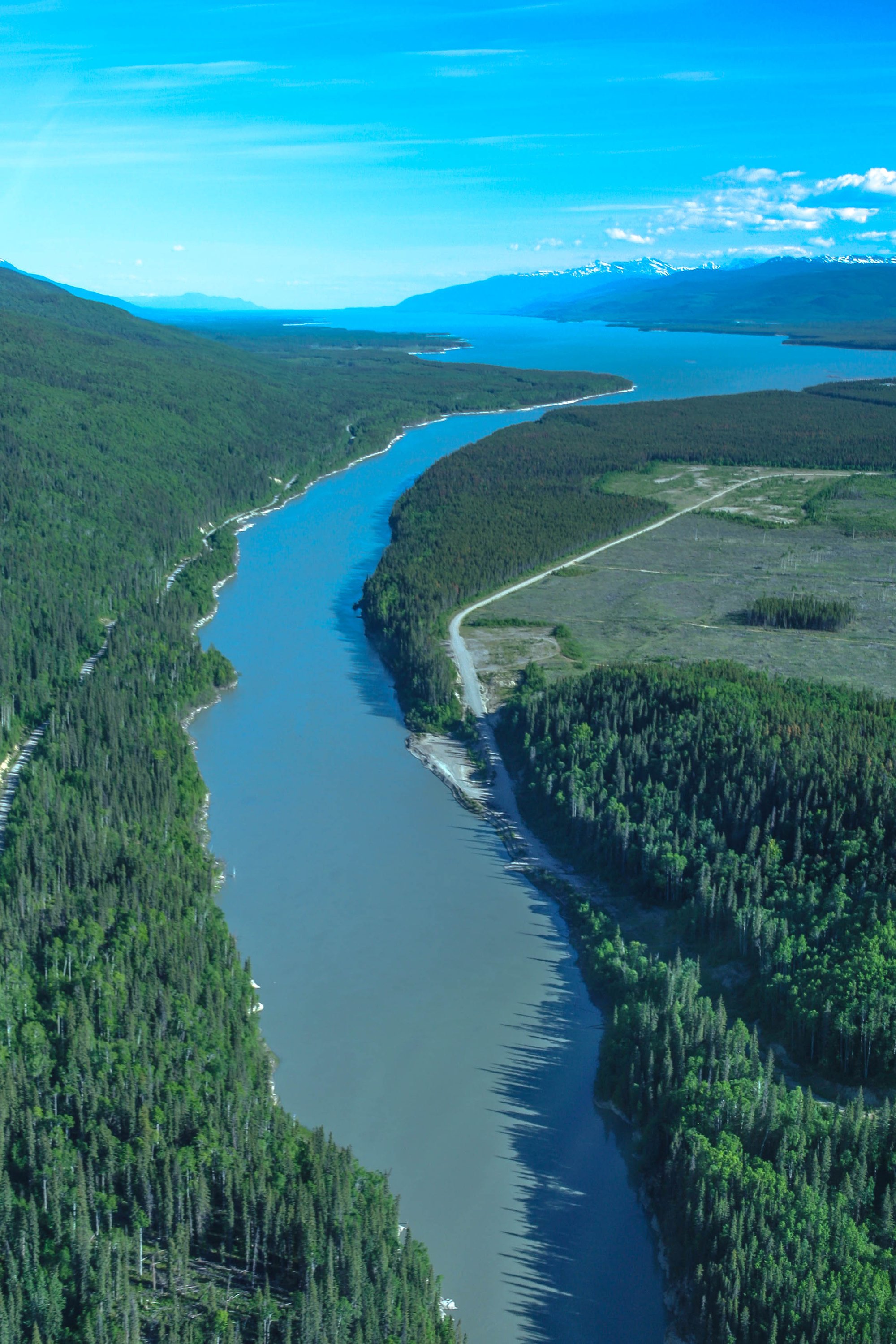
Williston Lake
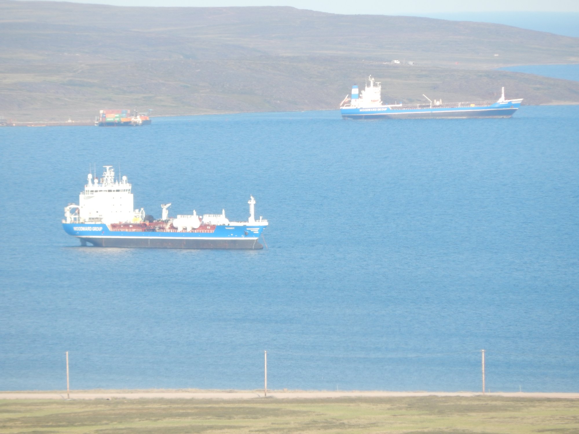
Baker Lake
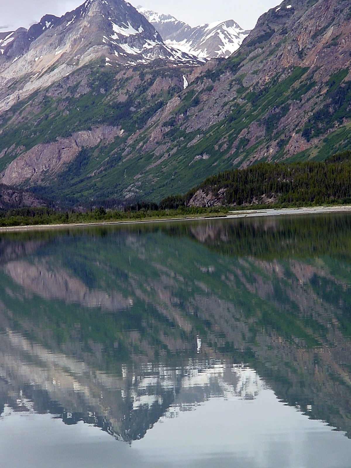
Atlin Lake
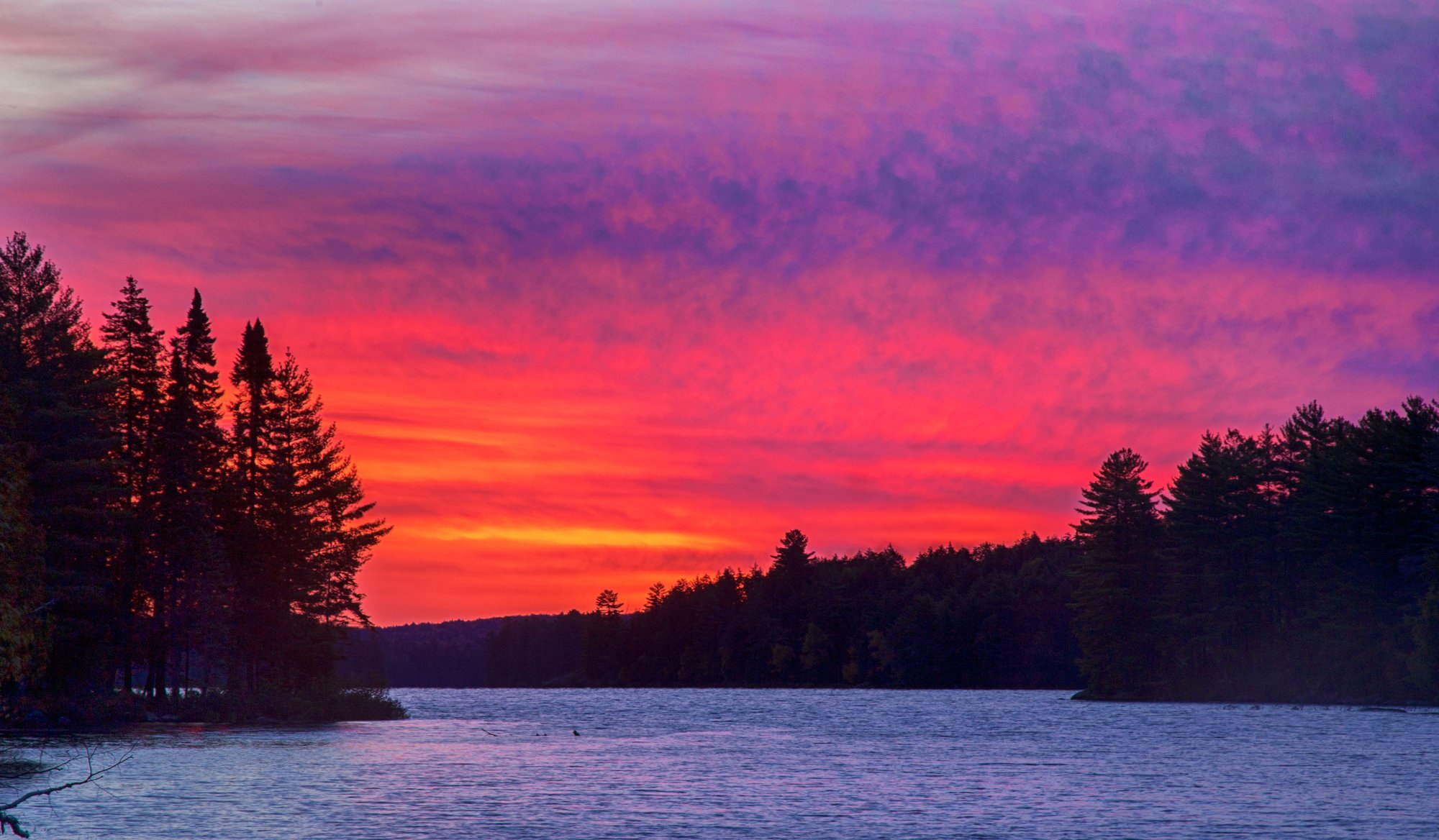
Big Trout Lake
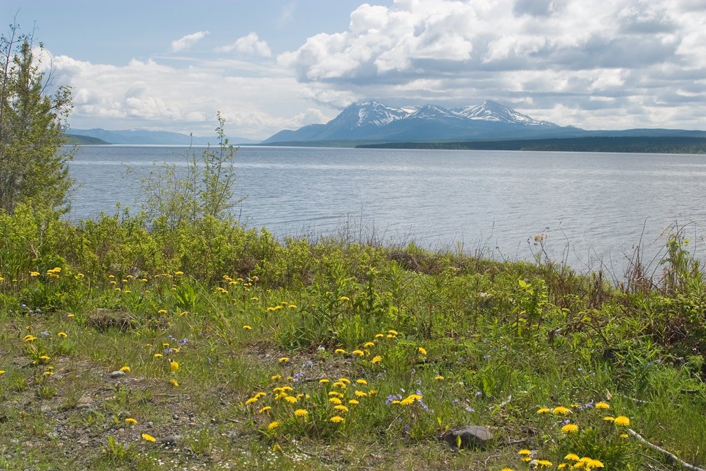
Teslin Lake
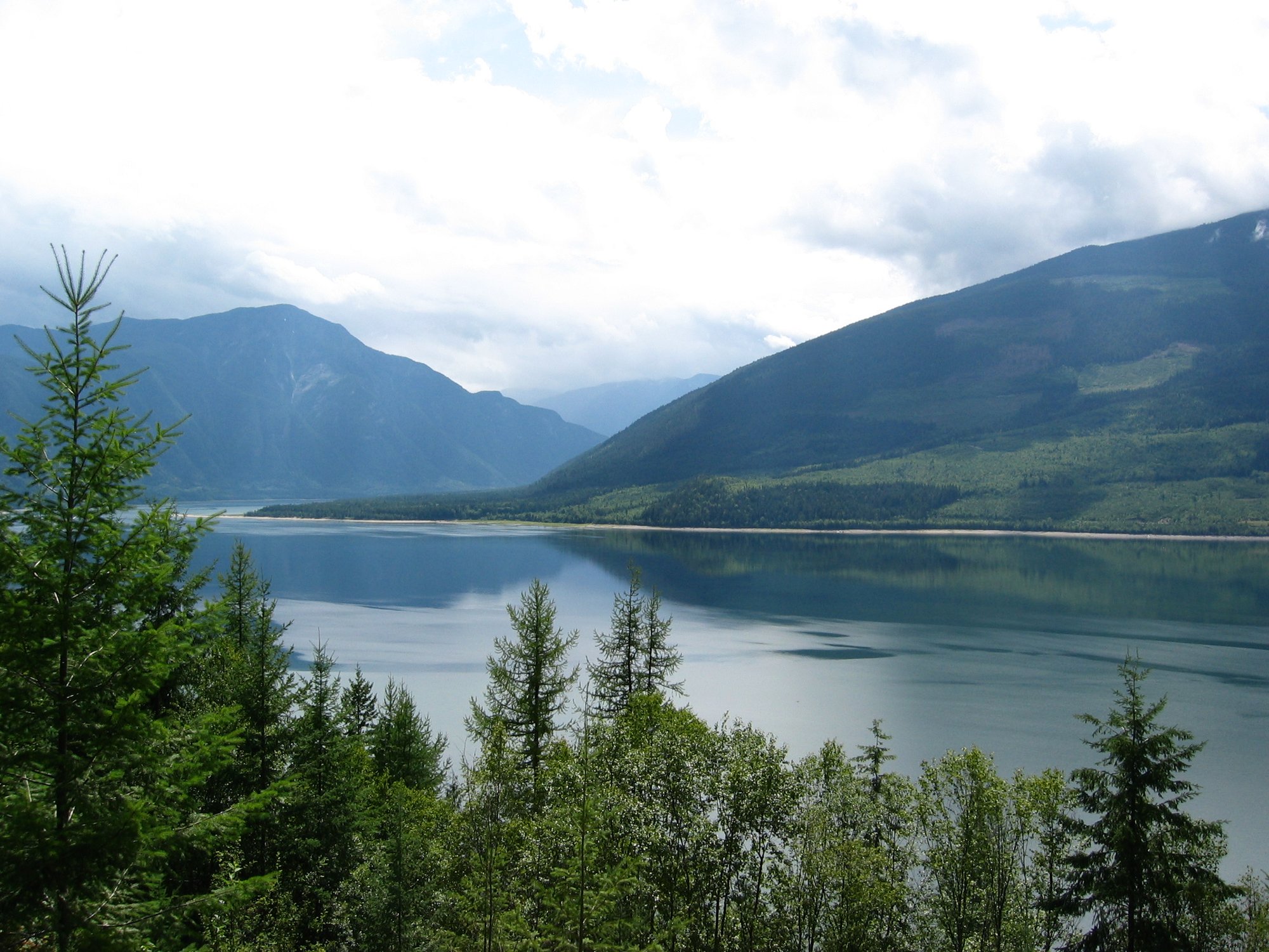
Upper Arrow Lake
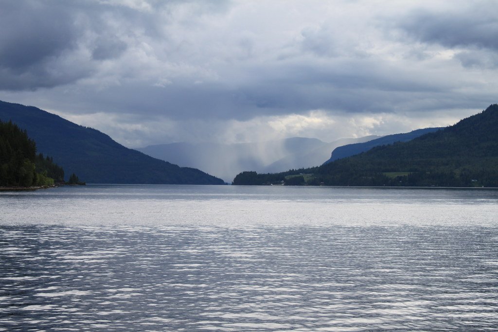
Shuswap Lake
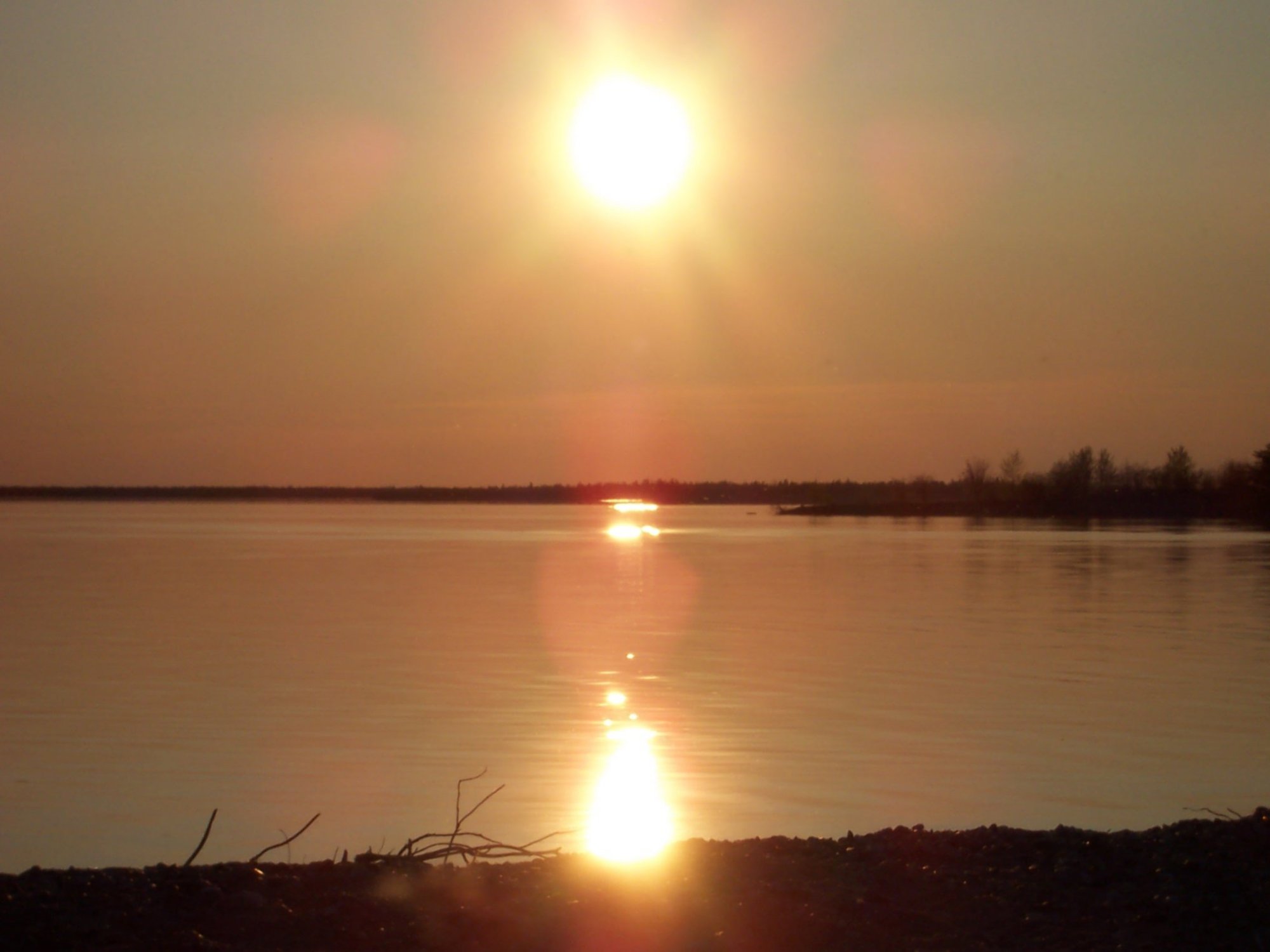
Stephens Lake
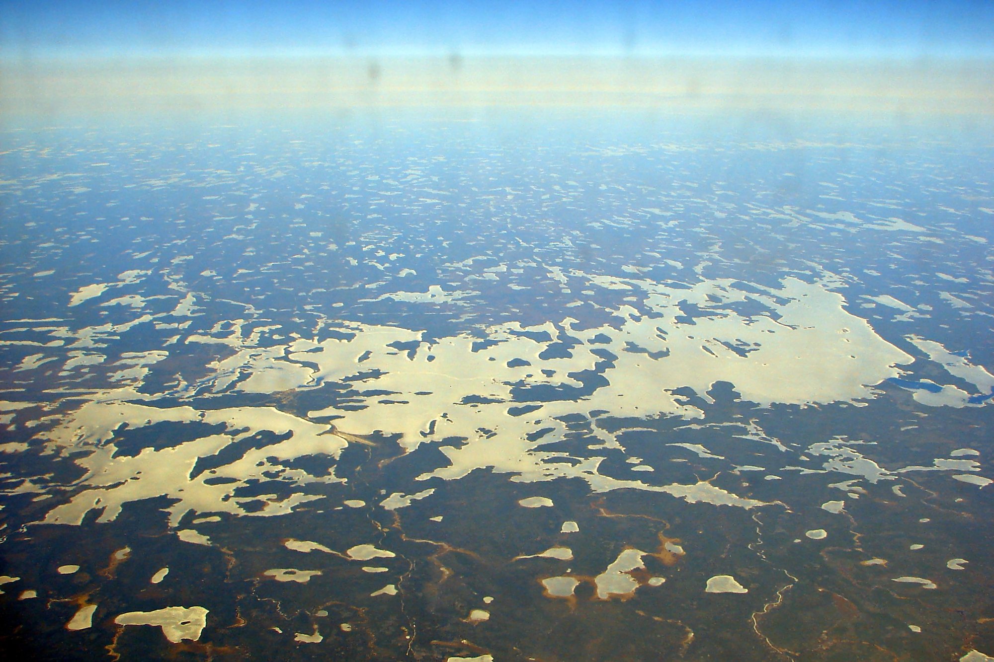
Wunnummin Lake
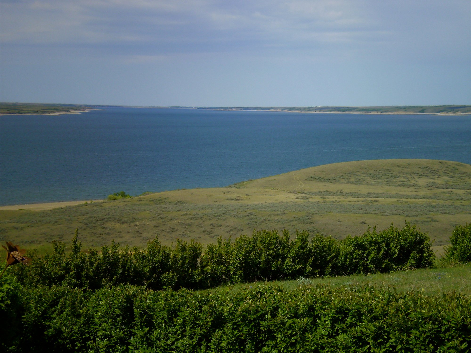
Lake Diefenbaker
Explore Nu waters
Top paddling waters
No waters available right now.
Popular Cities
Loading popular cities...
Explore near Desbarats Basin

Smarter Paddling Starts in the App.
Paddleways gives you everything you need to plan smarter, paddle better, and own every trip from first launch to takeout.