Big Trout Lake
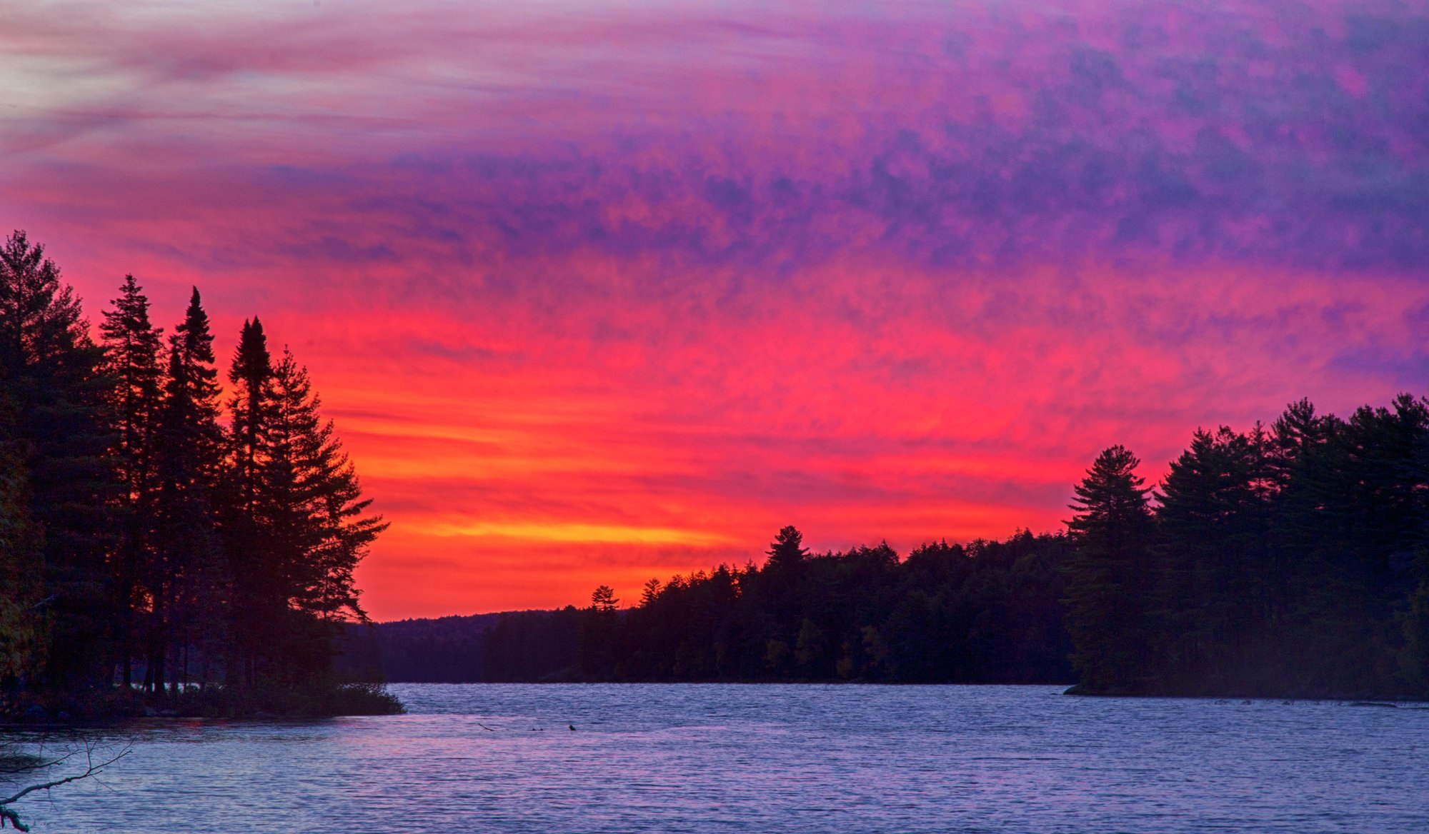
Big Trout Lake
- Boat Ramps
- 2
- Access Points
- 0
- Campsites
- 0
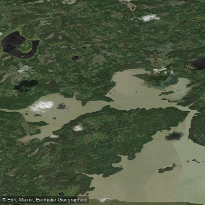
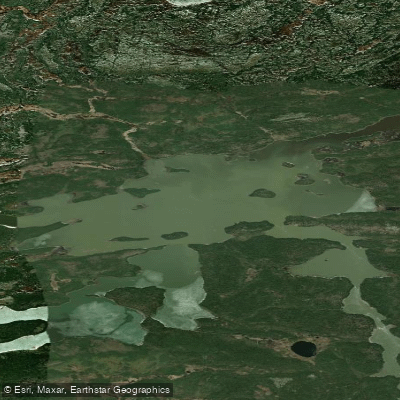
Big Trout Lake sits in the interior of Algonquin Provincial Park in Ontario, functioning as a central hub from which routes radiate to many corners of the park. The lake is large enough to present significant open-water crossings, and paddlers have described the expanse as stretching for kilometres with unobstructed views across the main body. The lake's size means wind can build quickly, and headwinds are a recognized hazard, particularly when paddling out of the lake toward White Trout Lake to the southwest. Island campsites are available on the lake, and at least one established site sits high on a bluff with a stairway built by the park, offering elevated views over the water and a large flat clearing with multiple tent spots, a fire ring, and hammock trees.
The most common approach to Big Trout Lake is from the Canoe Lake Access Point on Highway 60 at kilometre 14.1 from the West Gate of Algonquin Provincial Park. The Portage Store at that launch sells backcountry permits, maps, and equipment rentals, and parking, toilets, showers, and a telephone are available. Backcountry permits must be reserved online or by phone up to five months in advance; no walk-up permits are offered. A second access option begins from the Kiosk area to the north.
The classic loop route from Canoe Lake travels north through Joe Lake, Burnt Island Lake, and the Otterslide chain before reaching Big Trout Lake, then returns south through White Trout Lake, Grassy Bay, and McIntosh Creek. The Otterslide Creek section connecting Otterslide Lake to Big Trout involves five portages ranging from 50 to 730 metres through marsh, shallow water, and forest. The creek is narrow and rocky in places, and beaver activity regularly alters channels, sometimes requiring paddlers to drag canoes through. The total loop distance is approximately 73 kilometres, and four days is a commonly cited comfortable timeframe.
The route is well suited to intermediate paddlers comfortable with portages up to roughly 2.3 kilometres and open lake crossings. Traffic is heavy from July through early September, with campsite competition on Big Trout Lake being a particular concern during that period. Mid-week starts help reduce congestion. Shoulder season trips in June or after Labour Day are notably quieter. Moose are commonly spotted in the Grassy Bay and McIntosh Marsh sections, particularly in early morning.
Water access, boat ramps & amenities
Learn how to get on Big Trout Lake. Uncover great paddling access points, boat ramps, and all the facilities you need for an unforgettable day on the water. Some locations shown may border or include private property. Always check property boundaries and applicable regulations before visiting. PaddleWays's Public & Private Land layer can help you plan your access with confidence.
Paddle smarter with real-time insights
Whether you're en route and conditions shift or you're looking for the best spot based on current flows, we enable you to make informed decisions on the fly.








Find Places to Paddle

Over 400,000 Places to Paddle
Every user gets free access to launch points, boat ramps, and public property parcels.


Water and weather conditions (10 day forecast)
See the best times to paddle Big Trout Lake and check the forecast before you go.
No forecast data available.
Explore On waters
Top paddling waters
No waters available right now.
Popular Cities
Loading popular cities...
Explore near Big Trout Lake

Smarter Paddling Starts in the App.
Paddleways gives you everything you need to plan smarter, paddle better, and own every trip from first launch to takeout.