Lake Diefenbaker
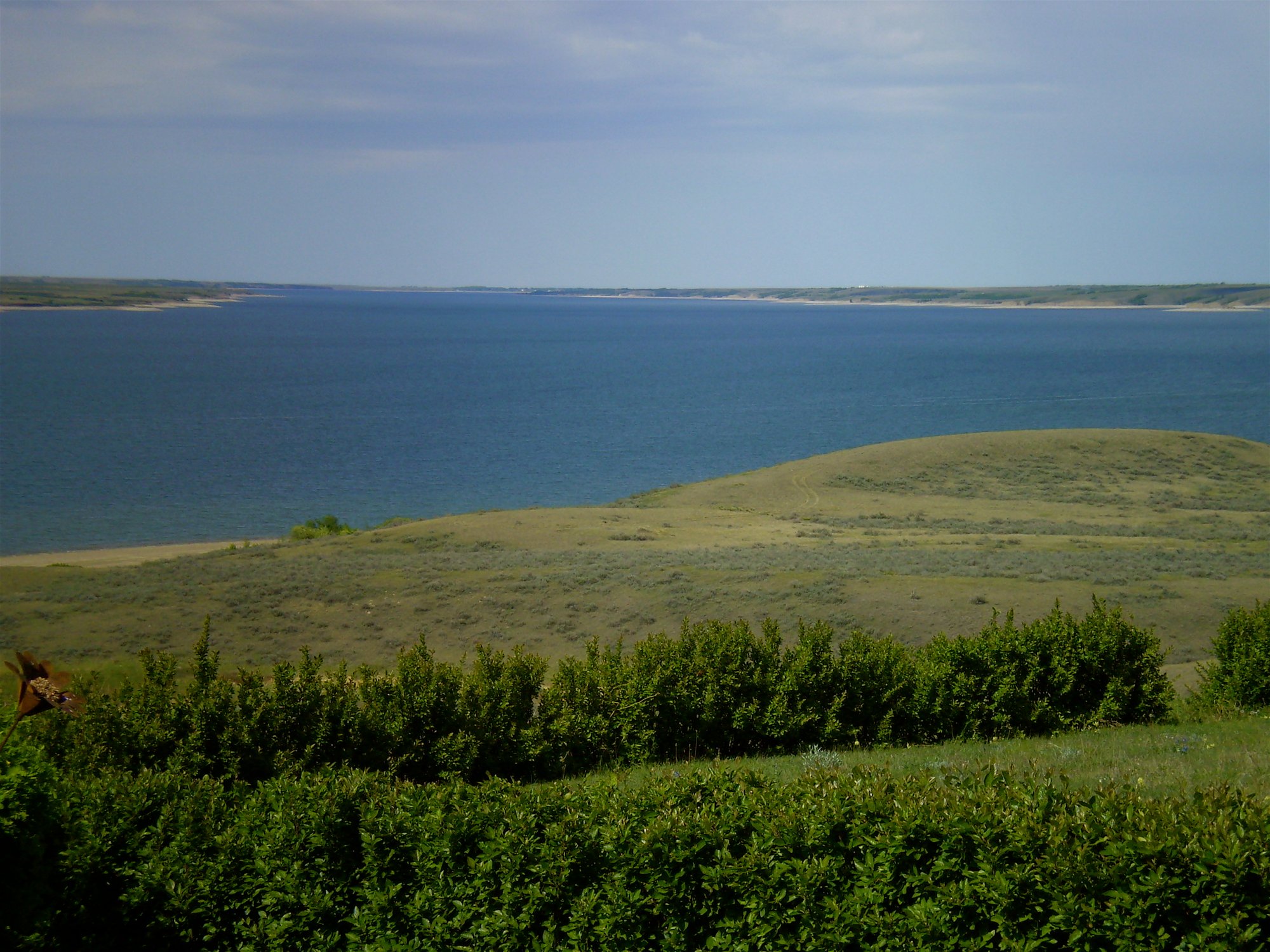
Lake Diefenbaker
- Boat Ramps
- 3
- Access Points
- 0
- Campsites
- 0
Lake Diefenbaker is a large reservoir in southern Saskatchewan, formed by the Gardiner Dam on the South Saskatchewan River. It stretches approximately 225 kilometres in length with a maximum width of around 6 kilometres, a shoreline of roughly 1,000 kilometres, and a surface area of over 107,000 acres, making it the largest lake in southern Saskatchewan. The lake's elongated shape, winding coulees, and open prairie surroundings give it a distinctive character quite different from northern Canadian lakes.
Access to the lake is extensive. Several highways provide entry points: Highway 44 crosses via the Gardiner Dam, Highway 42 crosses at the Riverhurst Ferry, and Highway 4 crosses at the western end via a causeway and bridge. Boat launches are available at multiple locations, including Saskatchewan Landing Provincial Park, Palliser Regional Park near Riverhurst, Douglas Provincial Park, and Danielson Provincial Park, among others. Sask Landing Marina offers a 190-slip full-service facility with kayak and paddleboard rentals. Rusty's Coulee Marina at Palliser Regional Park also provides launch access and supplies.
The lake's size and open exposure to prairie winds are the primary safety considerations for paddlers. Wind can develop quickly and significantly, and paddlers are advised to stay close to one shoreline when conditions deteriorate. The shoreline features numerous coulees — narrow ravines cutting through the hills — which can offer some shelter and are recommended as camping spots when wind picks up. The lake has extensive sandy beaches and relatively clear water, with shallow areas near shore that are generally visible from the water.
Paddlers can access the Chief Whitecap Waterway, a 125-kilometre Trans Canada Trail water route that begins at the Gardiner Dam at the north end of Lake Diefenbaker and follows the South Saskatchewan River into Saskatoon. This route passes through open prairie landscapes, sandbars, river islands, and the community of Outlook, and is suitable for canoe, kayak, or paddleboard.
Camping along the lake's shores is widely available, including three provincial campgrounds, three regional campgrounds, and private options. Crown land along the shoreline also permits beach camping in many areas. The lake supports a sailing school based out of Elbow, Saskatchewan, reflecting the consistent wind conditions that paddlers should plan around.
Water access, boat ramps & amenities
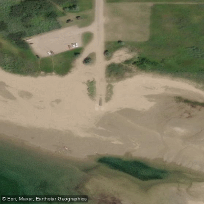
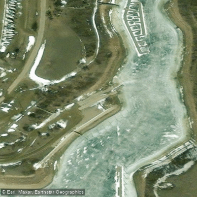
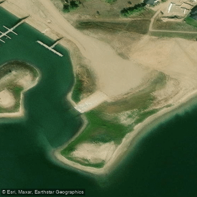
Learn how to get on Lake Diefenbaker. Uncover great paddling access points, boat ramps, and all the facilities you need for an unforgettable day on the water. Some locations shown may border or include private property. Always check property boundaries and applicable regulations before visiting. PaddleWays's Public & Private Land layer can help you plan your access with confidence.
Paddle smarter with real-time insights
Whether you're en route and conditions shift or you're looking for the best spot based on current flows, we enable you to make informed decisions on the fly.








Find Places to Paddle

Over 400,000 Places to Paddle
Every user gets free access to launch points, boat ramps, and public property parcels.


Water and weather conditions (10 day forecast)
See the best times to paddle Lake Diefenbaker and check the forecast before you go.
LAKE DIEFENBAKER AT GARDINER DAM
Paddling near Lake Diefenbaker
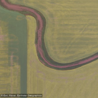
Moose Jaw River
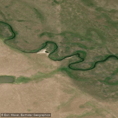
Thunder Creek
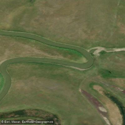
Qu'Appelle River
Wascana Creek
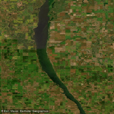
Last Mountain Lake
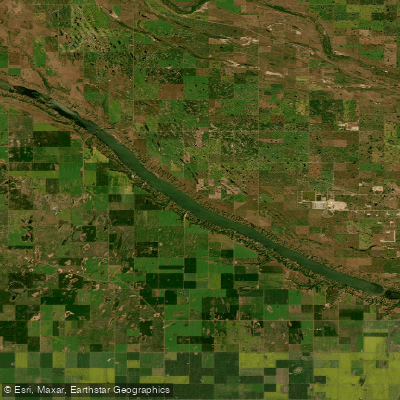
Buffalo Pound Lake
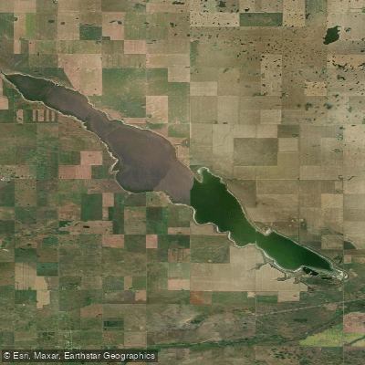
Pelican Lake
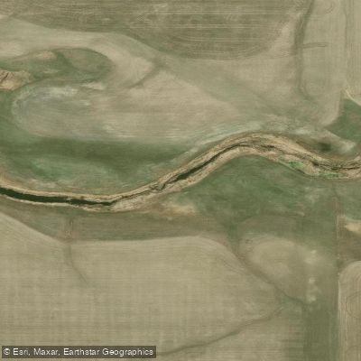
Boggy Creek
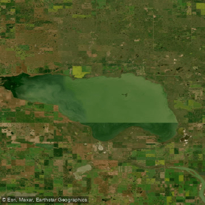
Old Wives Lake
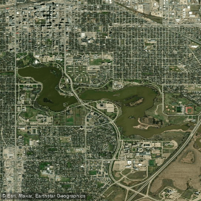
Wascana Lake
Explore Sk waters
Top paddling waters
No waters available right now.
Popular Cities
Loading popular cities...
Explore near Lake Diefenbaker

Smarter Paddling Starts in the App.
Paddleways gives you everything you need to plan smarter, paddle better, and own every trip from first launch to takeout.