Wunnummin Lake
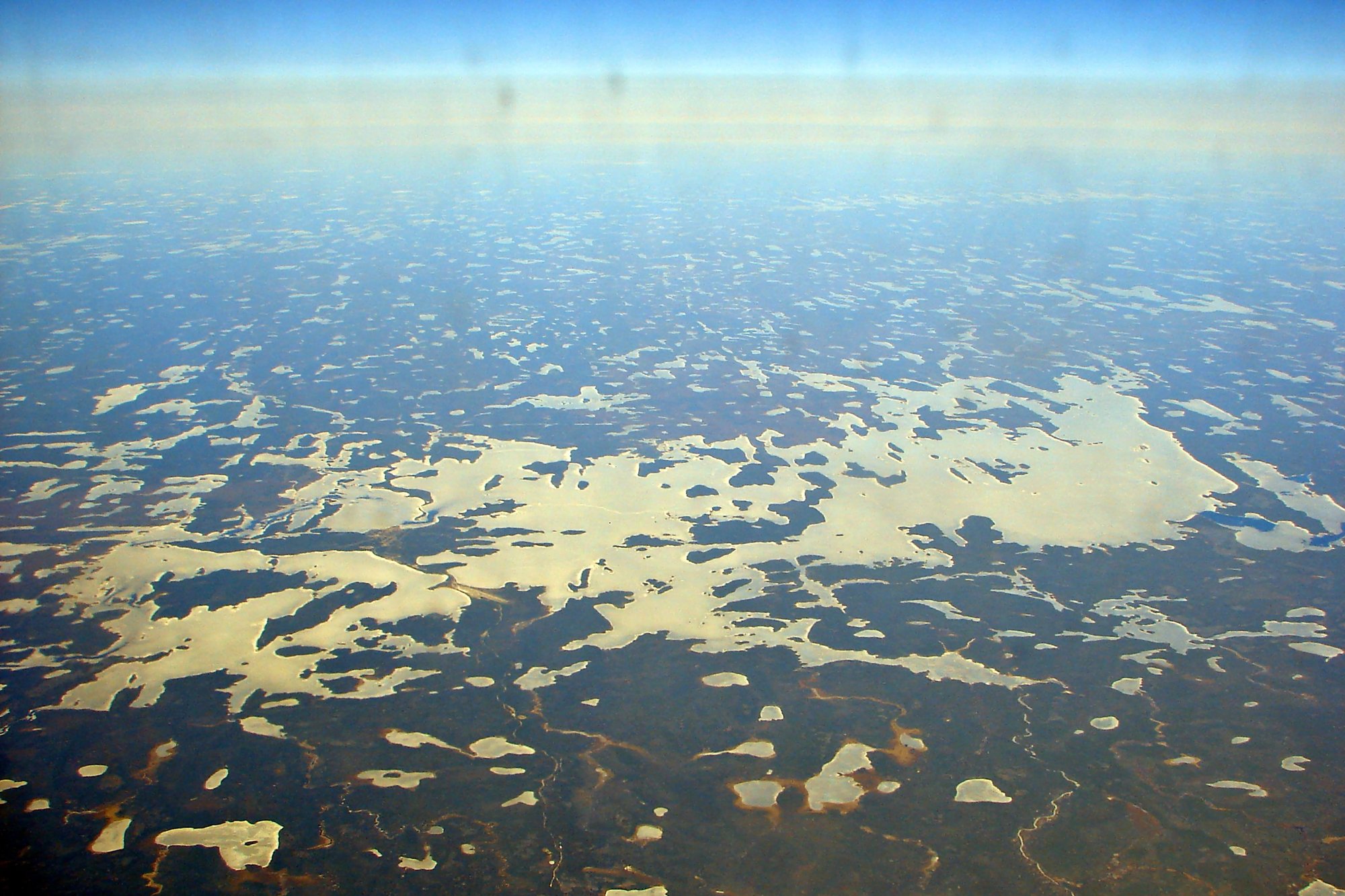
Wunnummin Lake
- Boat Ramps
- 0
- Access Points
- 0
- Campsites
- 0
Wunnummin Lake is a remote freshwater lake in the Kenora District of northwestern Ontario, situated within the traditional territory of a Cree, Ojibway, and Oji-Cree First Nation community of approximately 590 residents. The lake's name derives from the Oji-Cree word Wanaman-zaaga'igan, meaning "Vermillion Lake," a reference to the vermillion-colored clay found along its shores.
Access to the lake is primarily by float plane, with Pickle Lake serving as the typical departure point for fly-in visitors. There is no all-weather road into the community; a seasonal winter road provides the only land-based connection. The nearest major city is Winnipeg, approximately 623 kilometres away. Given this extreme remoteness, paddlers should plan accordingly for self-sufficiency and emergency preparedness.
The shoreline reflects classic Canadian Shield character, ranging from rocky outcrops to occasional small sandy stretches. The lake supports populations of walleye and northern pike. Wunnummin Lake also serves as a traditional access point for Pipestone River Provincial Park, making it a potential staging area for paddlers looking to explore the broader river system.
A Backroad Mapbooks topographic map (Map77) covering the Wunnummin Lake area is available digitally through the Avenza Maps platform, which can be useful for route planning. The Ontario Breeding Bird Atlas has documented canoe-based travel on the lake, with one documented trip spanning 10 days. Given the fly-in access and the presence of an active First Nation community, paddlers should be respectful of local land use and community protocols when visiting the area.
Water access, boat ramps & amenities
Learn how to get on Wunnummin Lake. Uncover great paddling access points, boat ramps, and all the facilities you need for an unforgettable day on the water. Some locations shown may border or include private property. Always check property boundaries and applicable regulations before visiting. PaddleWays's Public & Private Land layer can help you plan your access with confidence.
Paddle smarter with real-time insights
Whether you're en route and conditions shift or you're looking for the best spot based on current flows, we enable you to make informed decisions on the fly.








Find Places to Paddle

Over 400,000 Places to Paddle
Every user gets free access to launch points, boat ramps, and public property parcels.


Water and weather conditions (10 day forecast)
See the best times to paddle Wunnummin Lake and check the forecast before you go.
No forecast data available.
Paddling near Wunnummin Lake
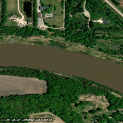
Red River
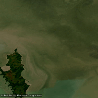
Lac Winnipeg

Assiniboine River
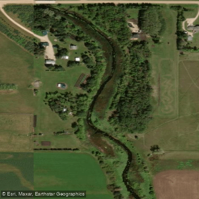
Cooks Creek
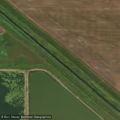
Netley Creek
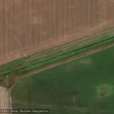
Wavey Creek
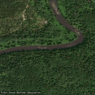
Whitemouth River
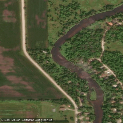
Brokenhead River
Lac Manitoba
Hazel Creek
Explore On waters
Top paddling waters
No waters available right now.
Popular Cities
Loading popular cities...
Explore near Wunnummin Lake

Smarter Paddling Starts in the App.
Paddleways gives you everything you need to plan smarter, paddle better, and own every trip from first launch to takeout.