Dry Cove
- Saltwater
- Cove
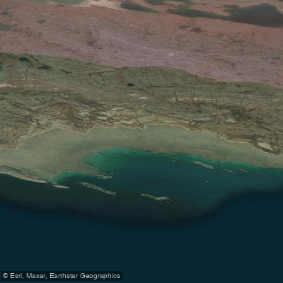
Dry Cove
- Saltwater
- Cove
- Sq. miles
- 2.2
- Boat Ramps
- 0
- Access Points
- 0
- Campsites
- 0
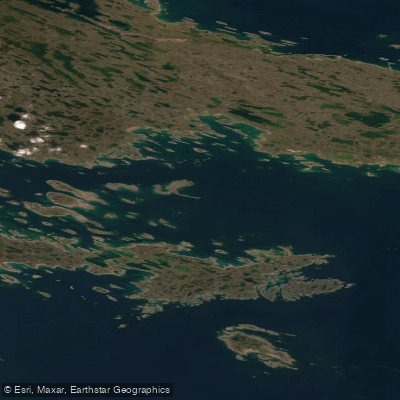
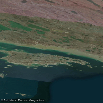
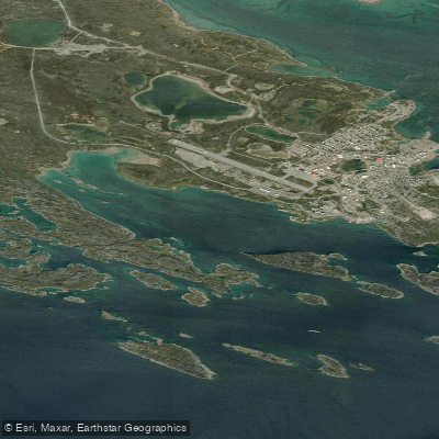
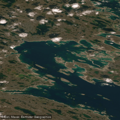
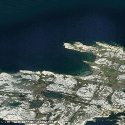
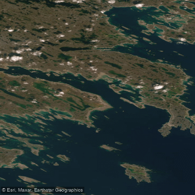
Dry Cove is a coastal feature on the north shore of Rankin Inlet in Nunavut. It is situated on the east side of Hudson Bay. The north shore of Rankin Inlet is bordered by drying ledges and reefs extending up to three miles offshore. This indicates that paddlers must exercise extreme caution when approaching the shoreline, as extensive shallow areas and rocks become exposed at low tide. The tidal range in this region is significant, with mean and large tides at nearby Marble Island measuring 2.5 and 3.7 meters respectively. Strong cross-currents and tide rips have been reported in the entrance to Rankin Inlet, typically flowing southwest at one knot on the flood tide, though they can sometimes reverse direction. These conditions necessitate careful tide planning for any paddling trip, with an understanding that currents can be powerful and unpredictable. The area is remote and exposed, with no specific launch facilities or amenities for paddlers. A notable landmark is False Knoll, located four miles to the west-northwest on the east side of Dry Cove, which is visually similar to the more distant Twin Knolls. The overall character of paddling here is one for experienced, self-sufficient kayakers prepared for Arctic conditions, significant tidal changes exposing hazards, and potentially strong currents.
Water access, boat ramps & amenities
Learn how to get on Dry Cove. Uncover great paddling access points, boat ramps, and all the facilities you need for an unforgettable day on the water. Some locations shown may border or include private property. Always check property boundaries and applicable regulations before visiting. PaddleWays's Public & Private Land layer can help you plan your access with confidence.
Paddle smarter with real-time insights
Whether you're en route and conditions shift or you're looking for the best spot based on current flows, we enable you to make informed decisions on the fly.








Find Places to Paddle

Over 400,000 Places to Paddle
Every user gets free access to launch points, boat ramps, and public property parcels.


Tides, wind & water conditions (10 day forecast)
On open water, wind and tide matter as much as the weather. See the best times to paddle Dry Cove and check the marine forecast before you launch.
Loading tide predictions…
Explore Nu waters
Top paddling waters
No waters available right now.
Popular Cities
Loading popular cities...
Explore near Dry Cove

Smarter Paddling Starts in the App.
Paddleways gives you everything you need to plan smarter, paddle better, and own every trip from first launch to takeout.