Rankin Inlet
- Saltwater
- Inlet
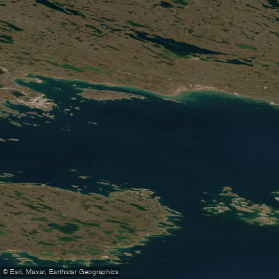
Rankin Inlet
- Saltwater
- Inlet
- Sq. miles
- 283
- Boat Ramps
- 0
- Access Points
- 0
- Campsites
- 0
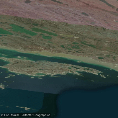
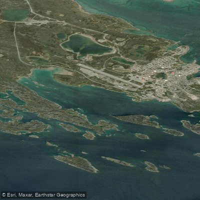
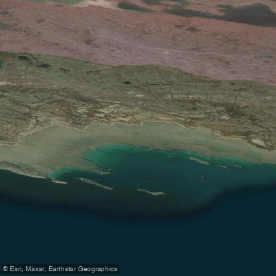
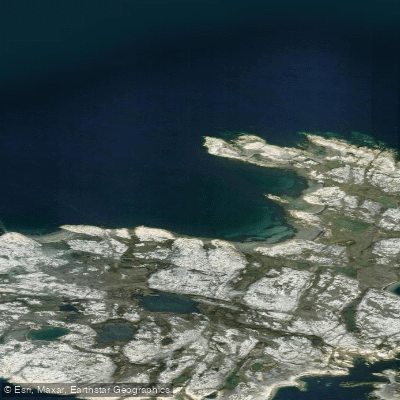
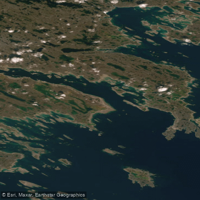
Rankin Inlet, known in Inuktitut as Kangiqtiniq meaning deep bay, is a coastal Inuit hamlet on the Kudlulik Peninsula fronting Hudson Bay in Nunavut. It is the largest hamlet in the territory and serves as the regional centre for the Kivalliq Region. The inlet itself is a significant saltwater feature on Hudson Bay, with archaeological sites suggesting human habitation dating back to around 1200 CE by Thule whale hunters, succeeded later by Caribou Inuit. For paddlers, the area is a destination for sea-kayaking adventures, and the expanding road network around the community can provide land access to launch or take-out points, allowing some to avoid a final open-water crossing on Hudson Bay itself. The hamlet is actively working to improve boat access infrastructure, with plans for construction to enhance access to nearby Johnston Cove and Melvin Bay. The region is characterized by a remote, expansive landscape with a very low population density, and paddlers may encounter abundant historical sites such as old Inuit camps and inuksuit along the coast. The waterway is directly connected to Hudson Bay, and paddlers should be prepared for the significant challenges of a northern marine environment, including exposure to open bay conditions, wind, and potentially cold water temperatures year-round due to the high latitude. There are no specific paddling restrictions mentioned, but the presence of local hunters and boaters should be anticipated. The area is served by direct jet flights to southern hubs like Winnipeg, facilitating travel for expeditions.
Water access, boat ramps & amenities
Learn how to get on Rankin Inlet. Uncover great paddling access points, boat ramps, and all the facilities you need for an unforgettable day on the water. Some locations shown may border or include private property. Always check property boundaries and applicable regulations before visiting. PaddleWays's Public & Private Land layer can help you plan your access with confidence.
Paddle smarter with real-time insights
Whether you're en route and conditions shift or you're looking for the best spot based on current flows, we enable you to make informed decisions on the fly.








Find Places to Paddle

Over 400,000 Places to Paddle
Every user gets free access to launch points, boat ramps, and public property parcels.


Tides, wind & water conditions (10 day forecast)
On open water, wind and tide matter as much as the weather. See the best times to paddle Rankin Inlet and check the marine forecast before you launch.
Loading tide predictions…
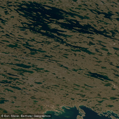
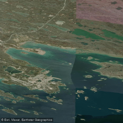
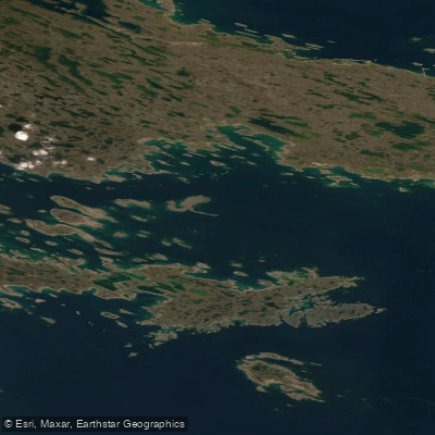
Explore Nu waters
Top paddling waters
No waters available right now.
Popular Cities
Loading popular cities...
Explore near Rankin Inlet

Smarter Paddling Starts in the App.
Paddleways gives you everything you need to plan smarter, paddle better, and own every trip from first launch to takeout.