Melvin Bay
- Saltwater
- Bay
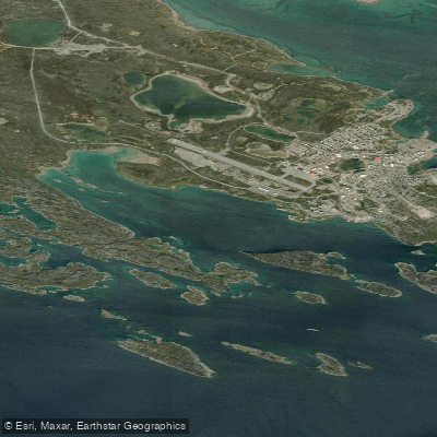
Melvin Bay
- Saltwater
- Bay
- Sq. miles
- 1.7
- Boat Ramps
- 0
- Access Points
- 0
- Campsites
- 0
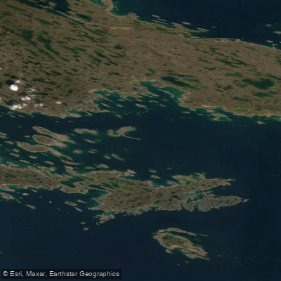
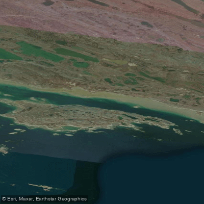
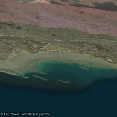
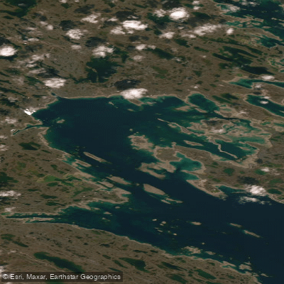
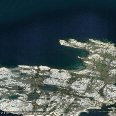
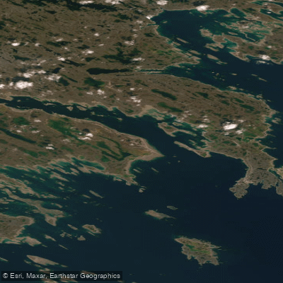
Melvin Bay is a coastal bay located near Rankin Inlet, Nunavut. It serves as a marine access point for the nearby Meliadine gold mine, with resupply vessels using the bay. The primary paddling access is via Rankin Inlet, and the route into the bay passes south of Pod Rock, Little Pod Rock, and Big Pod Rock. The southern approach to the bay is complex, featuring a chain of reefs, islands, and islets including named features such as Net Island, Stickle Islet, and Aukpik Island. To the north of the main route lie Guillemot Island and Guillemot Rocks. Navigation requires significant caution due to extensive shoals and rocks with depths as shallow as 2.3 meters in some passages. The land to the south of Rankin Inlet is very low, so only islands and land on the north side of the inlet should be used for radar fixing. A route leads through Access Passage between Buff Island to the northeast and Theron Island and Panorama Island to the southwest and west, though rocks with depths of 0.1 and 3.6 meters lie near mid-channel here. The bay receives treated saline effluent discharged via a diffuser from the Meliadine mine. Paddlers should be aware of potential commercial vessel traffic associated with mine resupply operations traversing the area.
Water access, boat ramps & amenities
Learn how to get on Melvin Bay. Uncover great paddling access points, boat ramps, and all the facilities you need for an unforgettable day on the water. Some locations shown may border or include private property. Always check property boundaries and applicable regulations before visiting. PaddleWays's Public & Private Land layer can help you plan your access with confidence.
Paddle smarter with real-time insights
Whether you're en route and conditions shift or you're looking for the best spot based on current flows, we enable you to make informed decisions on the fly.








Find Places to Paddle

Over 400,000 Places to Paddle
Every user gets free access to launch points, boat ramps, and public property parcels.


Tides, wind & water conditions (10 day forecast)
On open water, wind and tide matter as much as the weather. See the best times to paddle Melvin Bay and check the marine forecast before you launch.
Loading tide predictions…
Explore Nu waters
Top paddling waters
No waters available right now.
Popular Cities
Loading popular cities...
Explore near Melvin Bay

Smarter Paddling Starts in the App.
Paddleways gives you everything you need to plan smarter, paddle better, and own every trip from first launch to takeout.