Prairie Bay
- Saltwater
- Bay
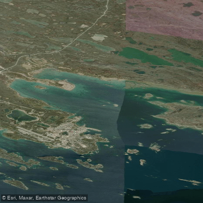
Prairie Bay
- Saltwater
- Bay
- Sq. miles
- 8.9
- Boat Ramps
- 0
- Access Points
- 0
- Campsites
- 0
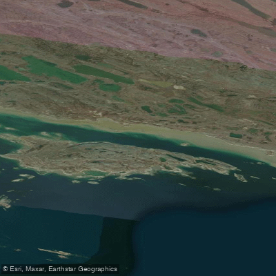
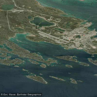
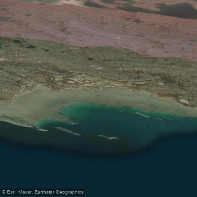
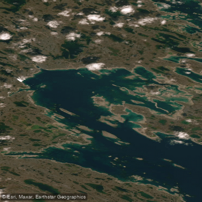
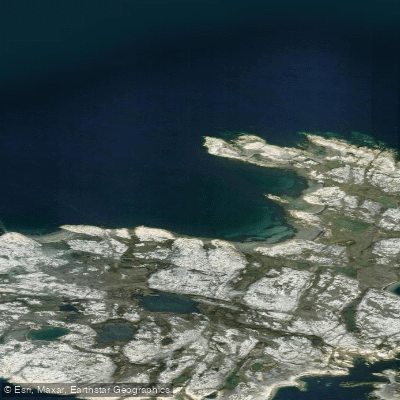
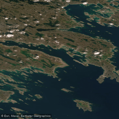
Prairie Bay is a coastal bay in Nunavut, Canada, located on the western shore of Hudson Bay. The bay's character is defined by a complex, shallow shoreline with significant navigational hazards for larger vessels. The bay is bordered by extensive drying flats, and its waters contain numerous islands, islets, reefs, and shoal areas. This creates a maze-like, protected inshore area for small craft, though paddlers must remain vigilant for submerged rocks and shallows, especially at lower tides. The adjacent feature named Canoe Point suggests a historical or geographical association with small craft. The bay is situated near the Meliadine River estuary, and the broader region includes infrastructure related to the Meliadine Gold Project, indicating the potential for industrial marine traffic in the approaches to the bay. Paddlers should anticipate the full exposure and conditions of Hudson Bay, including significant fetch for wind-driven waves and strong tidal currents, particularly near the bay's entrance. The area is remote, with no specific public launch facilities or amenities for recreational paddlers. The aesthetic is one of a raw, austere Arctic coastline, featuring a mix of low-lying rocky shores, eskers, and islands. Wildlife likely includes marine birds and mammals common to the Hudson Bay region. Given its high-latitude location, the paddling season is extremely short, limited to the brief ice-free period in late summer, and water temperatures remain frigid year-round, necessitating appropriate immersion protection and safety planning.
Water access, boat ramps & amenities
Learn how to get on Prairie Bay. Uncover great paddling access points, boat ramps, and all the facilities you need for an unforgettable day on the water. Some locations shown may border or include private property. Always check property boundaries and applicable regulations before visiting. PaddleWays's Public & Private Land layer can help you plan your access with confidence.
Paddle smarter with real-time insights
Whether you're en route and conditions shift or you're looking for the best spot based on current flows, we enable you to make informed decisions on the fly.








Find Places to Paddle

Over 400,000 Places to Paddle
Every user gets free access to launch points, boat ramps, and public property parcels.


Tides, wind & water conditions (10 day forecast)
On open water, wind and tide matter as much as the weather. See the best times to paddle Prairie Bay and check the marine forecast before you launch.
Loading tide predictions…
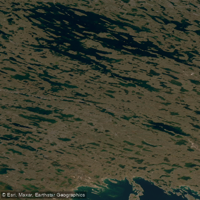
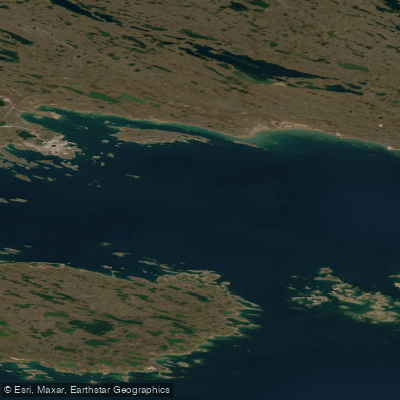
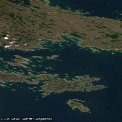
Explore Nu waters
Top paddling waters
No waters available right now.
Popular Cities
Loading popular cities...
Explore near Prairie Bay

Smarter Paddling Starts in the App.
Paddleways gives you everything you need to plan smarter, paddle better, and own every trip from first launch to takeout.