Meliadine River
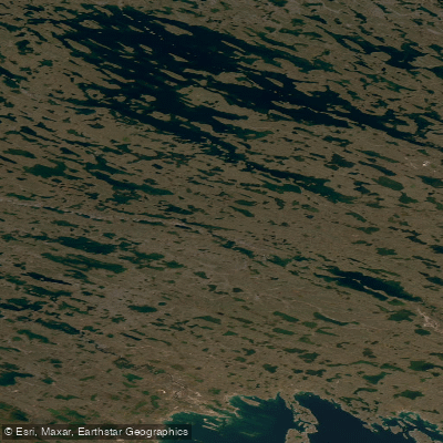
Meliadine River
- Boat Ramps
- 0
- Access Points
- 0
- Campsites
- 0
The Meliadine River, also known by its Inuktitut name Iqalugaarjuk ("river of little fish"), flows through the Kivalliq region of Nunavut approximately 8 to 10 kilometres northwest of Rankin Inlet on the west coast of Hudson Bay. The river runs through a valley that forms the core of Iqalugaarjuup Nunanga Territorial Park, which can be reached via a gravel road extending north from Rankin Inlet — the same road that provides the primary access point to the river corridor.
The park infrastructure includes 8 kilometres of gravel roads, a group activities cabin, picnic facilities, and a small camping area, making it one of the more accessible natural areas near Rankin Inlet. The main road crosses the Char River and follows the Meliadine Esker through the park, with a spur road extending further toward Nipisar Lake.
The river supports Arctic grayling, lake char, and Arctic char — species that have drawn both local residents and visitors for generations. Elders from Rankin Inlet continue to visit the river to collect fresh drinking water. The surrounding landscape retains extensive evidence of Thule and Caribou Inuit occupation, including stone tent rings, storage caches, fish traps, kayak racks, fox traps, and drying racks, many of which remain visible today. A late Thule archaeological site called Qamaviniqtalik is accessible via a hiking trail within the park.
The park also offers opportunities for wildlife watching, birding, berry picking, and wildflower viewing during summer months. Given its location well above the 62nd parallel, the paddling season is limited to the summer months when the gravel road is accessible; in winter, the area is reached by snowmobile.
Water access, boat ramps & amenities
Learn how to get on Meliadine River. Uncover great paddling access points, boat ramps, and all the facilities you need for an unforgettable day on the water. Some locations shown may border or include private property. Always check property boundaries and applicable regulations before visiting. PaddleWays's Public & Private Land layer can help you plan your access with confidence.
Paddle smarter with real-time insights
Whether you're en route and conditions shift or you're looking for the best spot based on current flows, we enable you to make informed decisions on the fly.








Find Places to Paddle

Over 400,000 Places to Paddle
Every user gets free access to launch points, boat ramps, and public property parcels.


Water and weather conditions (10 day forecast)
See the best times to paddle Meliadine River and check the forecast before you go.
No forecast data available.
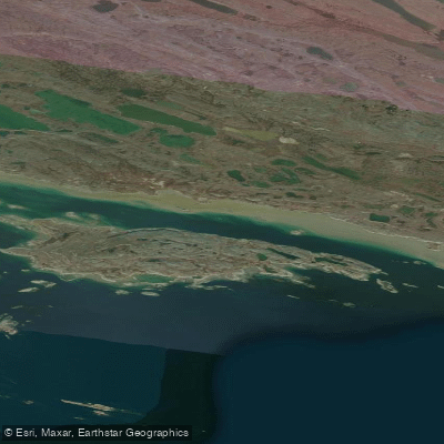
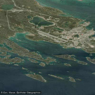
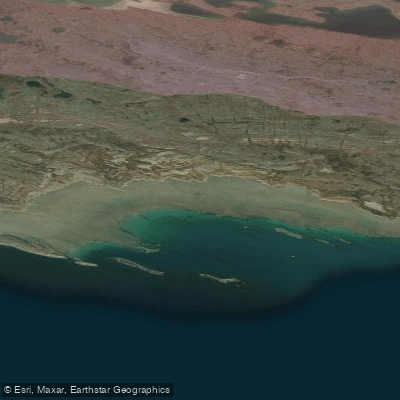
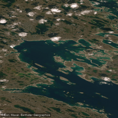
Explore Nu waters
Top paddling waters
No waters available right now.
Popular Cities
Loading popular cities...
Explore near Meliadine River

Smarter Paddling Starts in the App.
Paddleways gives you everything you need to plan smarter, paddle better, and own every trip from first launch to takeout.