ᑲᖏᖅᖢᒑᐱᒃ Erik Harbour
- Saltwater
- Harbor
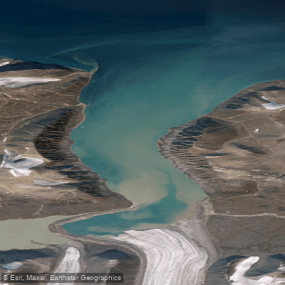
ᑲᖏᖅᖢᒑᐱᒃ Erik Harbour
- Saltwater
- Harbor
- Sq. miles
- 14
- Boat Ramps
- 0
- Access Points
- 0
- Campsites
- 0
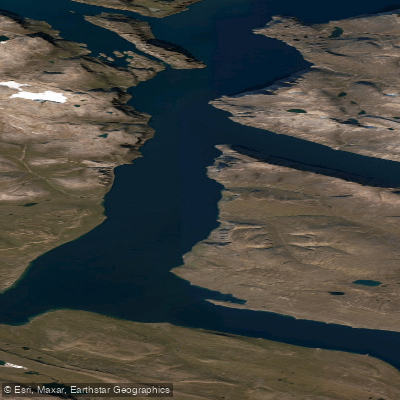
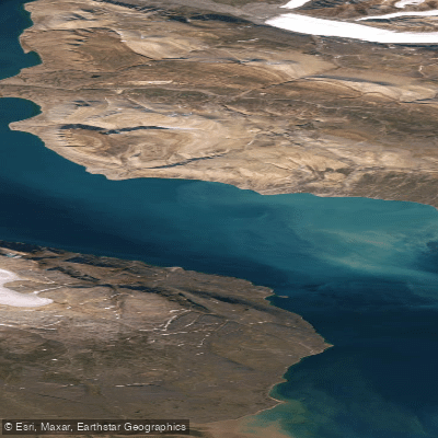
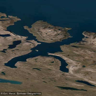
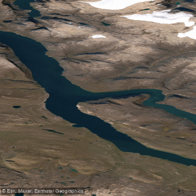
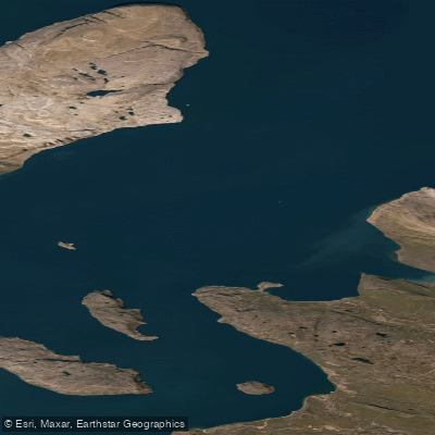
Erik Harbour is a remote and pristine Arctic harbour located in Nunavut, Canada, with coordinates approximately between 72.47° and 72.60° North latitude and 75.96° and 76.15° West longitude. The area is characterized by a rocky shoreline, tundra, and cold, icy waters. This is an uninhabited region, rarely visited, which contributes to its untouched and wild character. For paddlers, this remoteness means there are no formal facilities, amenities, or established access points like boat launches. Any entry or exit would require a shore landing on the rocky coast, demanding self-sufficiency and careful planning. The harbour's scale, as indicated by its 1:25,000 nautical chart, suggests a moderately sized coastal indentation suitable for exploration by kayak or canoe, but its exposure to the open Arctic Ocean must be considered. The primary considerations for paddlers are the extreme environmental conditions. The water is cold year-round, with sea ice a likely factor outside the brief summer season. Weather, wind, and ice conditions are the dominant variables, with itineraries subject to sudden change. The area is exposed, with fetch for wind and waves building across the harbour and from the adjacent sea. Paddlers must be prepared for self-rescue in cold water and have skills for managing potential surf zones at the harbour entrance. Wildlife sightings may include Arctic foxes and seabird colonies, which nest along the rocky shores. The aesthetic is one of a stark, powerful Arctic landscape. There are no indicated restrictions specific to paddling, but the remoteness and lack of any support services necessitate a high degree of skill, appropriate equipment for cold and potentially rough water, and thorough knowledge of Arctic coastal travel.
Water access, boat ramps & amenities
Learn how to get on ᑲᖏᖅᖢᒑᐱᒃ Erik Harbour. Uncover great paddling access points, boat ramps, and all the facilities you need for an unforgettable day on the water. Some locations shown may border or include private property. Always check property boundaries and applicable regulations before visiting. PaddleWays's Public & Private Land layer can help you plan your access with confidence.
Paddle smarter with real-time insights
Whether you're en route and conditions shift or you're looking for the best spot based on current flows, we enable you to make informed decisions on the fly.








Find Places to Paddle

Over 400,000 Places to Paddle
Every user gets free access to launch points, boat ramps, and public property parcels.


Tides, wind & water conditions (10 day forecast)
On open water, wind and tide matter as much as the weather. See the best times to paddle ᑲᖏᖅᖢᒑᐱᒃ Erik Harbour and check the marine forecast before you launch.
Loading tide predictions…
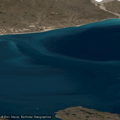
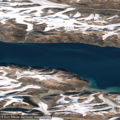
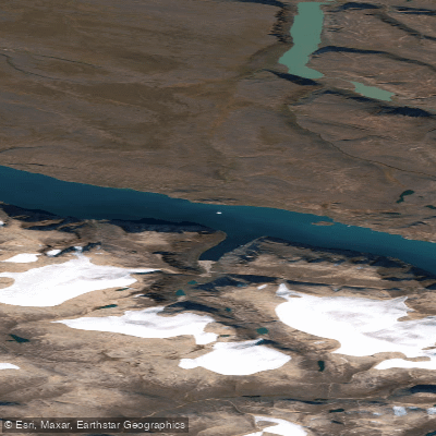
Explore Nu waters
Top paddling waters
No waters available right now.
Popular Cities
Loading popular cities...
Explore near ᑲᖏᖅᖢᒑᐱᒃ Erik Harbour

Smarter Paddling Starts in the App.
Paddleways gives you everything you need to plan smarter, paddle better, and own every trip from first launch to takeout.