ᐃᒡᓗᐊ Navy Board Inlet
- Saltwater
- Inlet
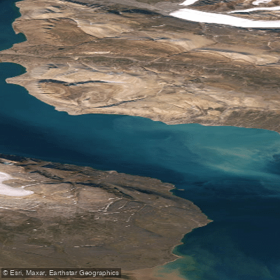
ᐃᒡᓗᐊ Navy Board Inlet
- Saltwater
- Inlet
- Sq. miles
- 698
- Boat Ramps
- 0
- Access Points
- 0
- Campsites
- 0
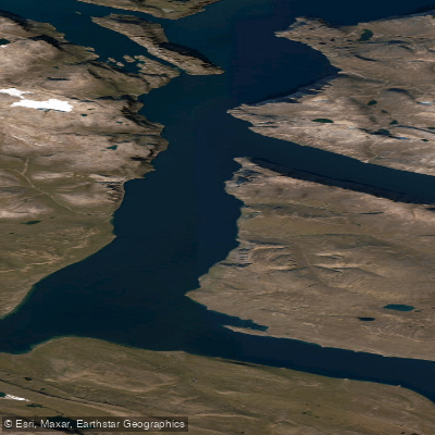
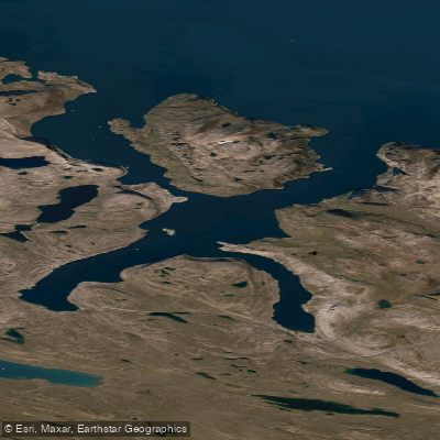
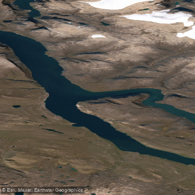
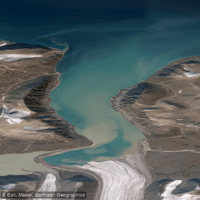
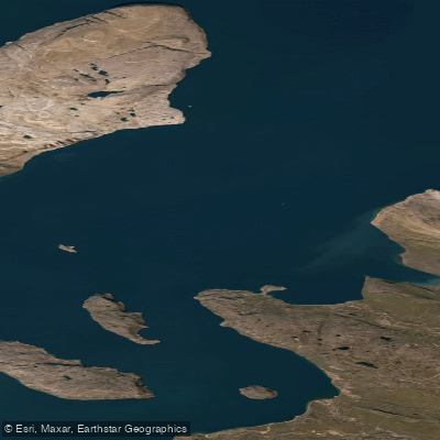
ᐃᒡᓗᐊ Navy Board Inlet is a significant, 113-kilometer-long saltwater inlet in Nunavut's Qikiqtaaluk Region, forming part of Sirmilik National Park. It separates Baffin Island from Bylot Island, ranging from 10 to 29 kilometers in width. The inlet serves as an arm of Lancaster Sound, connecting southerly to Eclipse Sound. The primary access point for paddlers is the community of Pond Inlet, located on the northeastern coast of Baffin Island directly on the shores of the inlet. This hamlet provides the essential gateway for any expedition. The scenery is impressive, with views across the iceberg-strewn channel to the mountains and glaciers of Bylot Island. Several glaciers descend abruptly to the shoreline just north of Low Point. The inlet contains a few islands, including the Wollaston Islands.
Paddling here is an expedition-level undertaking reserved for the extremely experienced. The high Arctic environment presents severe and immediate hazards. Water temperatures are lethally cold year-round, making a dry suit an essential piece of safety equipment, and any immersion carries grave risk. Conditions are dynamic and dangerous; Eclipse Sound, to which the inlet connects, is often covered by pack ice until mid-summer. Travel can be hazardous due to strong winds, currents, and high waves that can whip up quickly. Paddlers must be proficient in advanced skills including surf landings and launches, self-rescue, and navigation in fog using marine charts and tide tables. Group size must be sufficient for mutual rescue. The area is a productive marine ecosystem, home to narwhals, polar bears, seals, and whales, and is part of the main marine transportation route, indicating the potential for boat traffic. The best window for paddling is likely limited to the brief summer period when ice recedes, with average temperatures between 7 and 10 degrees Celsius and extended daylight.
Water access, boat ramps & amenities
Learn how to get on ᐃᒡᓗᐊ Navy Board Inlet. Uncover great paddling access points, boat ramps, and all the facilities you need for an unforgettable day on the water. Some locations shown may border or include private property. Always check property boundaries and applicable regulations before visiting. PaddleWays's Public & Private Land layer can help you plan your access with confidence.
Paddle smarter with real-time insights
Whether you're en route and conditions shift or you're looking for the best spot based on current flows, we enable you to make informed decisions on the fly.








Find Places to Paddle

Over 400,000 Places to Paddle
Every user gets free access to launch points, boat ramps, and public property parcels.


Tides, wind & water conditions (10 day forecast)
On open water, wind and tide matter as much as the weather. See the best times to paddle ᐃᒡᓗᐊ Navy Board Inlet and check the marine forecast before you launch.
Loading tide predictions…
Explore Nu waters
Top paddling waters
No waters available right now.
Popular Cities
Loading popular cities...
Explore near ᐃᒡᓗᐊ Navy Board Inlet

Smarter Paddling Starts in the App.
Paddleways gives you everything you need to plan smarter, paddle better, and own every trip from first launch to takeout.