ᑐᕐᓱᑲᑦᑕᒃ Pond Inlet
- Saltwater
- Inlet
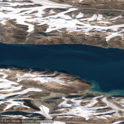
ᑐᕐᓱᑲᑦᑕᒃ Pond Inlet
- Saltwater
- Inlet
- Sq. miles
- 327
- Boat Ramps
- 0
- Access Points
- 0
- Campsites
- 0
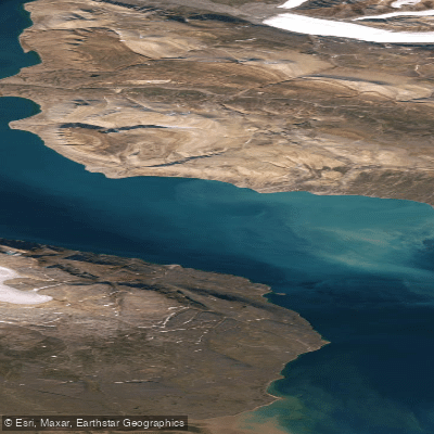
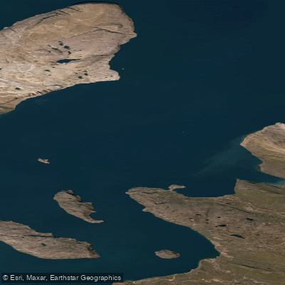
ᑐᕐᓱᑲᑦᑕᒃ Pond Inlet, also known as Mittimatalik, is a coastal hamlet and marine inlet on the northern tip of Baffin Island in Nunavut. The inlet itself is part of the larger Eclipse Sound, a major marine transportation route that connects to Bylot Island and the Arctic Ocean. For paddlers, the primary launch and take-out point is the community of Pond Inlet, which sits on the shore. The inlet's namesake feature, Tursukattak, describes a narrow passage opening into a wider body of water, resembling an igloo entrance. The paddling environment is profoundly influenced by Arctic conditions. The summer paddling season is short, typically from late July to early September, when the area is accessible by water as winter ice recedes. Eclipse Sound, however, often remains covered by pack ice until mid-summer, and travel can be dangerous due to strong winds, adverse weather, and high waves. Marine hazards are significant and include strong currents, floating ice, and tides. The water is extremely cold year-round. Paddling here is recommended only for the very experienced, and the use of local guides or outfitters licensed by Parks Canada is strongly advised, particularly for trips into nearby Sirmilik National Park. The park's Oliver Sound, located south of Pond Inlet, offers a more sheltered fjord with excellent opportunities for sea kayaking, featuring steep cliffs, valley glaciers, and several good camping areas along the shore. The scenery is dominated by mountain ranges in all directions, with spectacular icebergs often grounded in shallows or drifting in the sound. Wildlife sightings can include narwhals, beluga whales, seals, and polar bears. The area is historically significant as part of the eastern entrance to the Northwest Passage and has been inhabited by Inuit for over a thousand years.
Water access, boat ramps & amenities
Learn how to get on ᑐᕐᓱᑲᑦᑕᒃ Pond Inlet. Uncover great paddling access points, boat ramps, and all the facilities you need for an unforgettable day on the water. Some locations shown may border or include private property. Always check property boundaries and applicable regulations before visiting. PaddleWays's Public & Private Land layer can help you plan your access with confidence.
Paddle smarter with real-time insights
Whether you're en route and conditions shift or you're looking for the best spot based on current flows, we enable you to make informed decisions on the fly.








Find Places to Paddle

Over 400,000 Places to Paddle
Every user gets free access to launch points, boat ramps, and public property parcels.


Tides, wind & water conditions (10 day forecast)
On open water, wind and tide matter as much as the weather. See the best times to paddle ᑐᕐᓱᑲᑦᑕᒃ Pond Inlet and check the marine forecast before you launch.
Loading tide predictions…
Explore Nu waters
Top paddling waters
No waters available right now.
Popular Cities
Loading popular cities...
Explore near ᑐᕐᓱᑲᑦᑕᒃ Pond Inlet

Smarter Paddling Starts in the App.
Paddleways gives you everything you need to plan smarter, paddle better, and own every trip from first launch to takeout.