Tay Sound
- Saltwater
- Sound
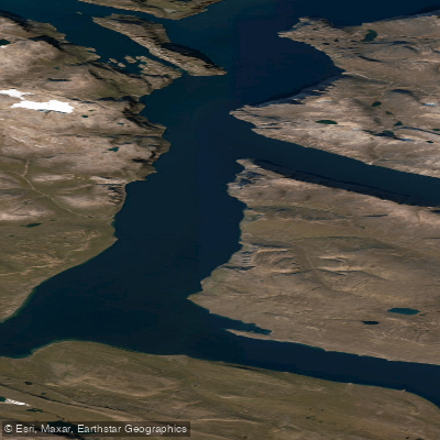
Tay Sound
- Saltwater
- Sound
- Sq. miles
- 121
- Boat Ramps
- 0
- Access Points
- 0
- Campsites
- 0
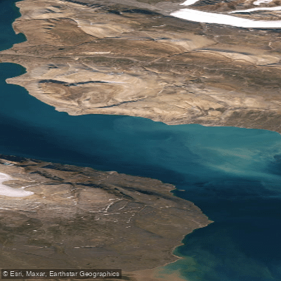
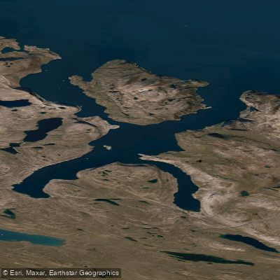
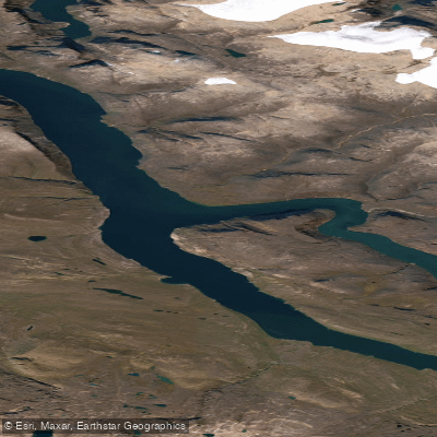
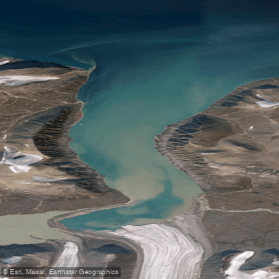
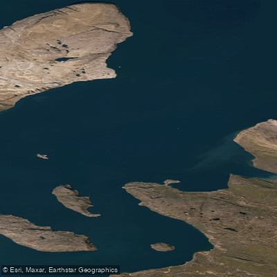
Tay Sound is an uninhabited natural waterway at the northern end of Baffin Island in Nunavut, Canada. Its mouth opens into Eclipse Sound, and the nearest community is Pond Inlet. The sound is a coastal, saltwater feature within the Arctic region. For paddlers, this is an extremely remote and exposed wilderness destination. There are no formal launches, take-outs, or facilities of any kind; access would require a private vessel drop-off or a very long wilderness approach. The primary paddling season is dictated by sea ice conditions. Local Inuit knowledge indicates that Tay Sound becomes dangerous for travel during the break-up period, with sea ice frequently dangerous by early July and sometimes breaking up earlier in recent years. Paddlers must be prepared for rapidly changing Arctic weather, as conditions can shift from clear sunshine to thick fog and snow within minutes, severely reducing visibility. The water is cold year-round, with ice cover present for much of the year. The area is known for significant icebergs calving from nearby glaciers, which can be a major hazard, and pack ice can block access. The aesthetic is starkly beautiful, featuring rocky hills, snow-covered landscapes, and views of glaciers. Wildlife sightings may include seals. The sound is part of a region used for traditional hunting and travel, and paddlers should be aware of any local regulations pertaining to the Sirmilik National Park area nearby. This is an expedition-level destination suitable only for highly experienced, self-sufficient paddlers with expertise in cold-water survival, navigation in fog, and managing complex ice hazards.
Water access, boat ramps & amenities
Learn how to get on Tay Sound. Uncover great paddling access points, boat ramps, and all the facilities you need for an unforgettable day on the water. Some locations shown may border or include private property. Always check property boundaries and applicable regulations before visiting. PaddleWays's Public & Private Land layer can help you plan your access with confidence.
Paddle smarter with real-time insights
Whether you're en route and conditions shift or you're looking for the best spot based on current flows, we enable you to make informed decisions on the fly.








Find Places to Paddle

Over 400,000 Places to Paddle
Every user gets free access to launch points, boat ramps, and public property parcels.


Tides, wind & water conditions (10 day forecast)
On open water, wind and tide matter as much as the weather. See the best times to paddle Tay Sound and check the marine forecast before you launch.
Loading tide predictions…
Explore Nu waters
Top paddling waters
No waters available right now.
Popular Cities
Loading popular cities...
Explore near Tay Sound

Smarter Paddling Starts in the App.
Paddleways gives you everything you need to plan smarter, paddle better, and own every trip from first launch to takeout.