Milne Inlet
- Saltwater
- Inlet
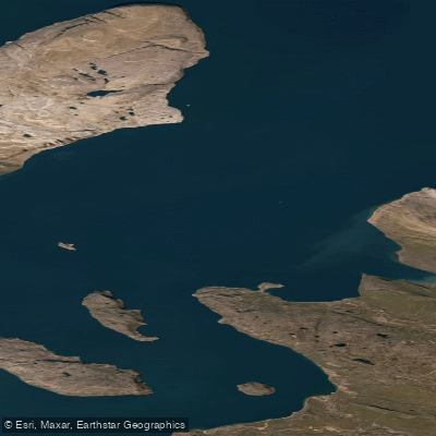
Milne Inlet
- Saltwater
- Inlet
- Sq. miles
- 341
- Boat Ramps
- 0
- Access Points
- 0
- Campsites
- 0
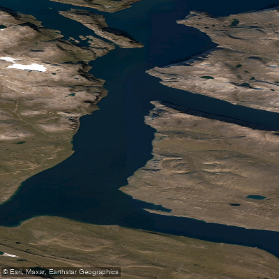
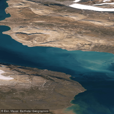
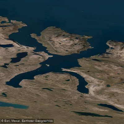
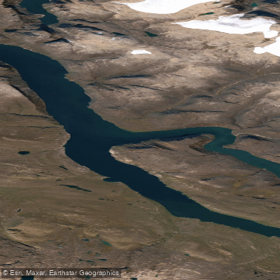
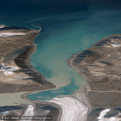
Milne Inlet is a narrow fjord located in Nunavut's Qikiqtaaluk Region on northern Baffin Island. It is a saltwater inlet that flows from Navy Board Inlet at the junction of Eclipse Sound. The entrance to the inlet is defined by Ragged Island and Athole Point. This is a remote Arctic location, and the overall character is one of significant industrial activity, as it serves as the primary shipping port for the Baffinland Iron Mines Corporation's Mary River project. Large bulk carriers and freighters use the inlet, with some vessels destined for ports in Asia via the Northern Sea Route. This results in substantial and regular commercial vessel traffic, which is a dominant feature and a primary safety consideration for paddlers. The inlet is also a known habitat for narwhals, with specific monitoring conducted at locations like Bruce Head.
For paddlers, the key planning factor is the tidal regime. Data from a temporary gauge at the head of the inlet shows a mixed tidal pattern with a notable range. For example, predictions show daily highs ranging from approximately 1.3 meters to over 1.8 meters, with daily lows often below 1 meter. Paddlers must consult current Canadian Hydrographic Service predictions for their specific dates, as the timing and height of tides will dictate currents and potentially expose or cover shoreline features. The surrounding landscape is mountainous, contributing to the fjord's narrow, steep-sided geography. The presence of major industrial shipping and the extreme Arctic environment indicate this is a destination only for highly experienced, self-sufficient expeditions with extensive knowledge of polar conditions, vessel traffic patterns, and emergency protocols. Any trip would require meticulous planning around the intense commercial shipping schedule and the short, ice-free summer season.
Water access, boat ramps & amenities
Learn how to get on Milne Inlet. Uncover great paddling access points, boat ramps, and all the facilities you need for an unforgettable day on the water. Some locations shown may border or include private property. Always check property boundaries and applicable regulations before visiting. PaddleWays's Public & Private Land layer can help you plan your access with confidence.
Paddle smarter with real-time insights
Whether you're en route and conditions shift or you're looking for the best spot based on current flows, we enable you to make informed decisions on the fly.








Find Places to Paddle

Over 400,000 Places to Paddle
Every user gets free access to launch points, boat ramps, and public property parcels.


Tides, wind & water conditions (10 day forecast)
On open water, wind and tide matter as much as the weather. See the best times to paddle Milne Inlet and check the marine forecast before you launch.
Loading tide predictions…
Explore Nu waters
Top paddling waters
No waters available right now.
Popular Cities
Loading popular cities...
Explore near Milne Inlet

Smarter Paddling Starts in the App.
Paddleways gives you everything you need to plan smarter, paddle better, and own every trip from first launch to takeout.