ᐊᒡᒎᑉ ᑕᕆᐅᖓ Fury and Hecla Strait
- Saltwater
- Strait
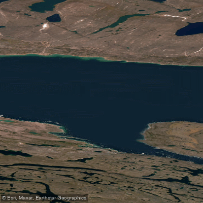
ᐊᒡᒎᑉ ᑕᕆᐅᖓ Fury and Hecla Strait
- Saltwater
- Strait
- Sq. miles
- 982
- Boat Ramps
- 0
- Access Points
- 0
- Campsites
- 0
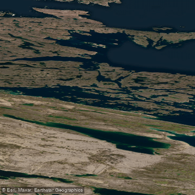
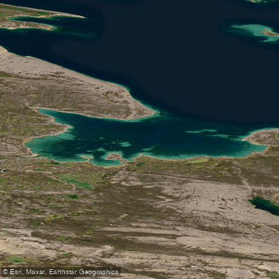
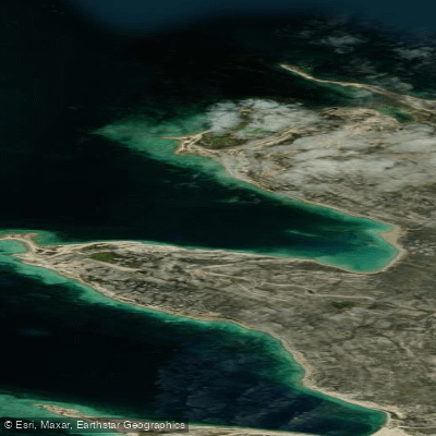
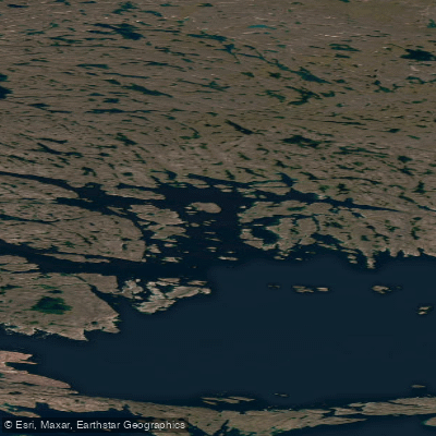
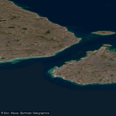
ᐊᒡᒎᑉ ᑕᕆᐅᖓ Fury and Hecla Strait is a narrow Arctic seawater channel located in Nunavut, Canada, separating Baffin Island to the north from the Melville Peninsula to the south. It connects Foxe Basin on the east with the Gulf of Boothia on the west. The strait is approximately 190 kilometers long and varies in width from a narrow 2 kilometers to 20 kilometers. This constricted geography, combined with its high-latitude location, means the strait is very often jammed with ice for the majority of the year, historically making it extremely difficult to access. The primary human settlement and logical access point for paddlers is the Inuit community of Igloolik, located on an island near the eastern entrance to the strait. The strait contains several islands, with Saglirjuaq (Liddon Island), Simialuk (Ormonde Island), and Saglaarjuk (Amherst Island) being the largest. Water flow through the strait is complex, with diurnal, semidiurnal, tidal, and subtidal components causing currents that are sometimes westerly and sometimes easterly. The area around the strait is classified as a polynya, an area of warm current frequently ice-free even in winter, supporting a rich variety of marine life including whales, walrus, seals, and fish. Paddlers must be prepared for significant and unpredictable ice hazards, strong and variable currents, and exposure to open Arctic waters. The strait holds historical significance as a potential link in the Northwest Passage, discovered in 1822 by William Edward Parry and named for his ships. Due to its ecological importance, there are ongoing discussions between the federal government and the Qikiqtani Inuit Association to designate the strait as a marine protected area, which could introduce future regulations. Any paddling expedition here is a serious, expedition-level undertaking suitable only for highly experienced Arctic paddlers with appropriate support and ice navigation skills, typically attempted only during the brief summer open-water season.
Water access, boat ramps & amenities
Learn how to get on ᐊᒡᒎᑉ ᑕᕆᐅᖓ Fury and Hecla Strait. Uncover great paddling access points, boat ramps, and all the facilities you need for an unforgettable day on the water. Some locations shown may border or include private property. Always check property boundaries and applicable regulations before visiting. PaddleWays's Public & Private Land layer can help you plan your access with confidence.
Paddle smarter with real-time insights
Whether you're en route and conditions shift or you're looking for the best spot based on current flows, we enable you to make informed decisions on the fly.








Find Places to Paddle

Over 400,000 Places to Paddle
Every user gets free access to launch points, boat ramps, and public property parcels.


Tides, wind & water conditions (10 day forecast)
On open water, wind and tide matter as much as the weather. See the best times to paddle ᐊᒡᒎᑉ ᑕᕆᐅᖓ Fury and Hecla Strait and check the marine forecast before you launch.
Loading tide predictions…
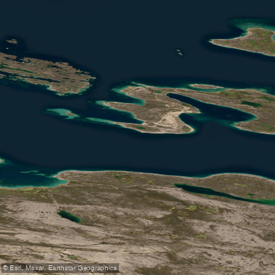
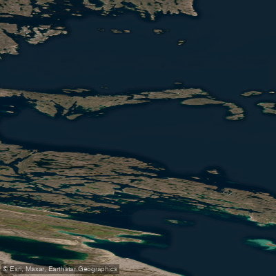
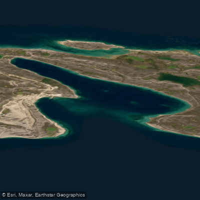
Explore Nu waters
Top paddling waters
No waters available right now.
Popular Cities
Loading popular cities...
Explore near ᐊᒡᒎᑉ ᑕᕆᐅᖓ Fury and Hecla Strait

Smarter Paddling Starts in the App.
Paddleways gives you everything you need to plan smarter, paddle better, and own every trip from first launch to takeout.