Quilliam Bay
- Saltwater
- Bay
Quilliam Bay
- Saltwater
- Bay
- Sq. miles
- 35
- Boat Ramps
- 0
- Access Points
- 0
- Campsites
- 0
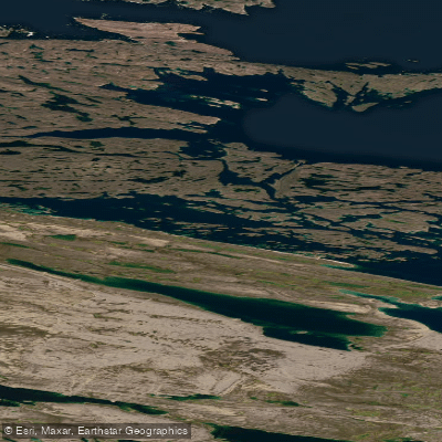
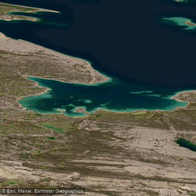
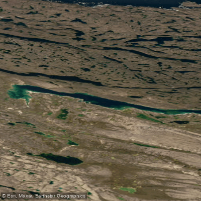
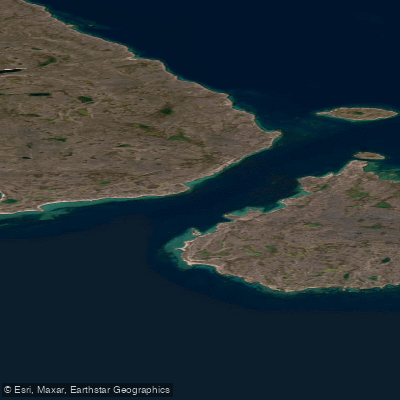
Quilliam Bay is a coastal bay located near Igloolik Island in Nunavut. The bay's entrance is obstructed by many small islands, which can provide some protection from open water conditions but also require careful navigation. The south shore of the bay is low, with elevations seldom exceeding 30 meters, while the north shore is hilly, rising to over 122 meters. The Crozier River flows into the head of the bay, where the land consists of a range of high hills stretching northwest that attain elevations of over 305 meters. For paddlers, the primary access point is likely via the nearby community of Igloolik, which is situated on the northwest shore of a small cove in Turton Bay. Igloolik is the cultural centre of Nunavut and offers basic services including a Northern Stores outlet, a Co-op store, and several hotels, which could serve as a base for expeditions. The tidal stream in the outer part of the bay is weak, which is favorable for paddling. However, the surrounding waters, including passages near Coxe Islands and Igloolik Island, have reported uncharted rocks and very shoal water extending up to 2.5 miles offshore in places, necessitating the use of detailed nautical charts and extreme caution. The area is remote and exposed to Arctic weather, with freeze-up generally occurring in mid-October, making the short summer season the only viable time for paddling. The first week of September is an optimum period for supply, indicating late summer may be the most practical window for travel before conditions deteriorate.
Water access, boat ramps & amenities
Learn how to get on Quilliam Bay. Uncover great paddling access points, boat ramps, and all the facilities you need for an unforgettable day on the water. Some locations shown may border or include private property. Always check property boundaries and applicable regulations before visiting. PaddleWays's Public & Private Land layer can help you plan your access with confidence.
Paddle smarter with real-time insights
Whether you're en route and conditions shift or you're looking for the best spot based on current flows, we enable you to make informed decisions on the fly.








Find Places to Paddle

Over 400,000 Places to Paddle
Every user gets free access to launch points, boat ramps, and public property parcels.


Tides, wind & water conditions (10 day forecast)
On open water, wind and tide matter as much as the weather. See the best times to paddle Quilliam Bay and check the marine forecast before you launch.
Loading tide predictions…
Explore Nu waters
Top paddling waters
No waters available right now.
Popular Cities
Loading popular cities...
Explore near Quilliam Bay

Smarter Paddling Starts in the App.
Paddleways gives you everything you need to plan smarter, paddle better, and own every trip from first launch to takeout.