South Passage
- Saltwater
- Strait
South Passage
- Saltwater
- Strait
- Sq. miles
- 10
- Boat Ramps
- 0
- Access Points
- 0
- Campsites
- 0
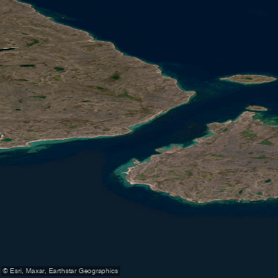
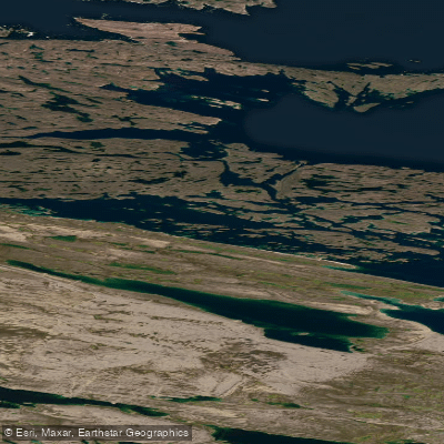
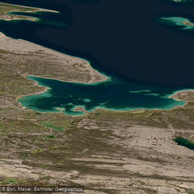
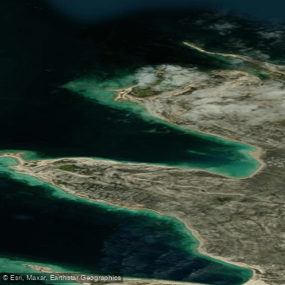
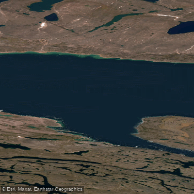
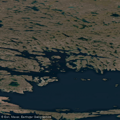
South Passage is a narrow strait located in Nunavut, Canada, which provides the primary access to Murray Maxwell Bay. This is a remote, high-Arctic marine environment characterized by significant and well-documented hazards. The passage is dangerous for ships due to extremely strong tidal currents, which are reach up to 7 knots. These currents generate heavy tide rips, presenting a severe challenge for paddlers. Furthermore, the passage may be blocked by ice, a condition that can persist into late summer in some years. The surrounding geography features Deer Island, which is situated within the passage and is surrounded by shoal water, indicating shallow and potentially rocky conditions that require careful navigation. The north shore of Murray Maxwell Bay, which the passage leads into, is low-lying with numerous rocky islets, rocks, and shoals close to shore and among islands, further complicating navigation. The east entrance to the bay, known as East Channel, is almost completely obstructed by shoal water. This is an expeditionary paddling location suited only for highly experienced and self-sufficient teams prepared for cold water, dynamic ice conditions, and powerful, complex currents. There is no information available regarding specific launch points, facilities, or recommended routes for paddlers, underscoring the need for meticulous independent planning and local knowledge for any attempt to navigate this area.
Water access, boat ramps & amenities
Learn how to get on South Passage. Uncover great paddling access points, boat ramps, and all the facilities you need for an unforgettable day on the water. Some locations shown may border or include private property. Always check property boundaries and applicable regulations before visiting. PaddleWays's Public & Private Land layer can help you plan your access with confidence.
Paddle smarter with real-time insights
Whether you're en route and conditions shift or you're looking for the best spot based on current flows, we enable you to make informed decisions on the fly.








Find Places to Paddle

Over 400,000 Places to Paddle
Every user gets free access to launch points, boat ramps, and public property parcels.


Tides, wind & water conditions (10 day forecast)
On open water, wind and tide matter as much as the weather. See the best times to paddle South Passage and check the marine forecast before you launch.
Loading tide predictions…
Explore Nu waters
Top paddling waters
No waters available right now.
Popular Cities
Loading popular cities...
Explore near South Passage

Smarter Paddling Starts in the App.
Paddleways gives you everything you need to plan smarter, paddle better, and own every trip from first launch to takeout.